
Travel to Cape Verde
Ten volcanic islands in the middle of the Atlantic, only about four hours by air from Europe: flat islands with miles of pale sand, green valleys where trails run along the ridges, a volcano that last erupted in 2014 and morna drifting out of Mindelo bars at night. Each island has its own character. Here is what to know before you look for cheap flights to Cape Verde.
Cape Verde in numbers
Capital
Praia
Population
Around 500,000
Area
~4,000 km²
Currency
Escudo
Language
Portuguese, Creole
Highest point
2,829 m
Continent
Africa
Time zone
UTC-1
Airports covered
1
Why visit Cape Verde
A volcanic archipelago where you pick an island to match your mood
Beach weather all year
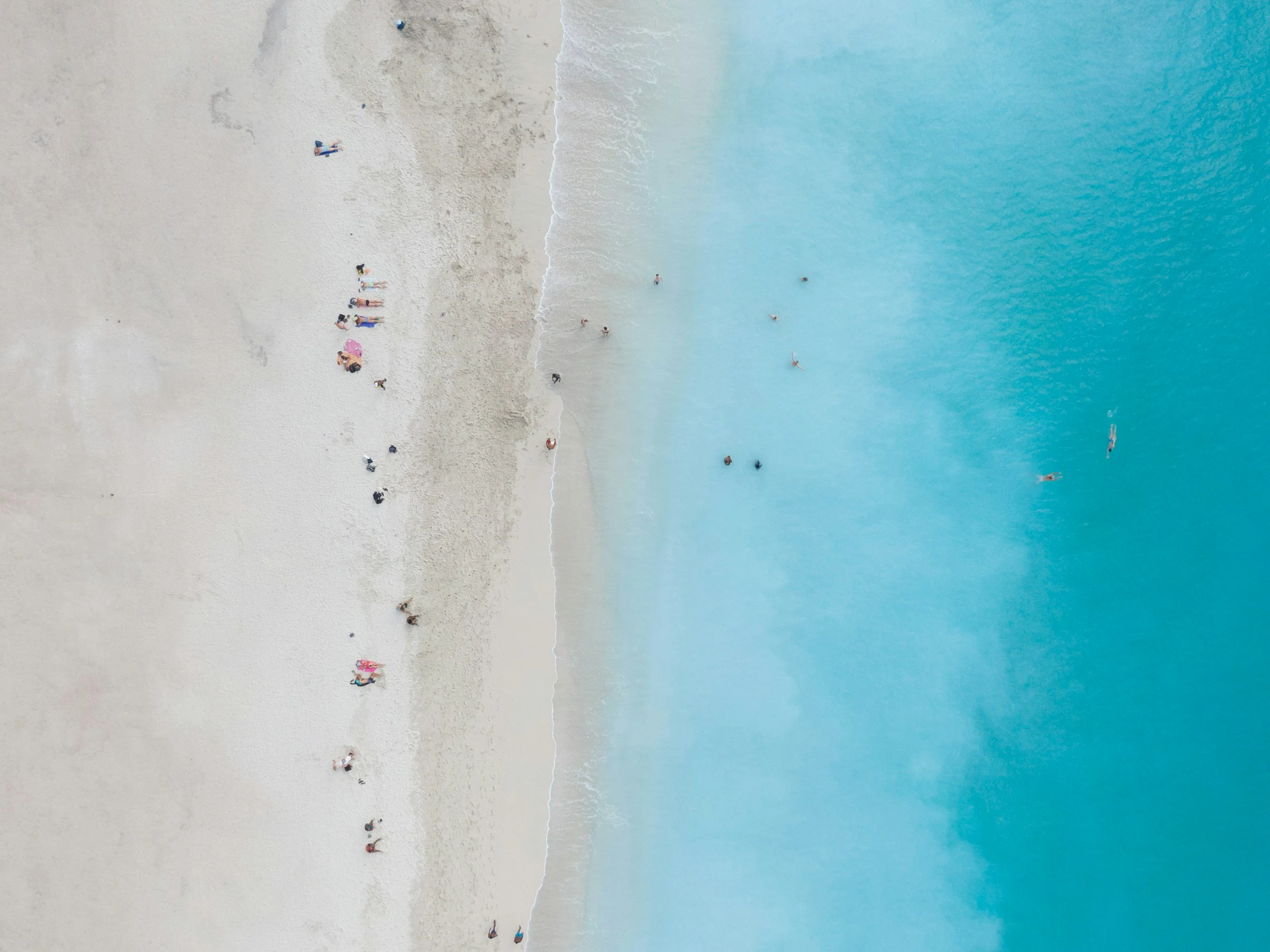
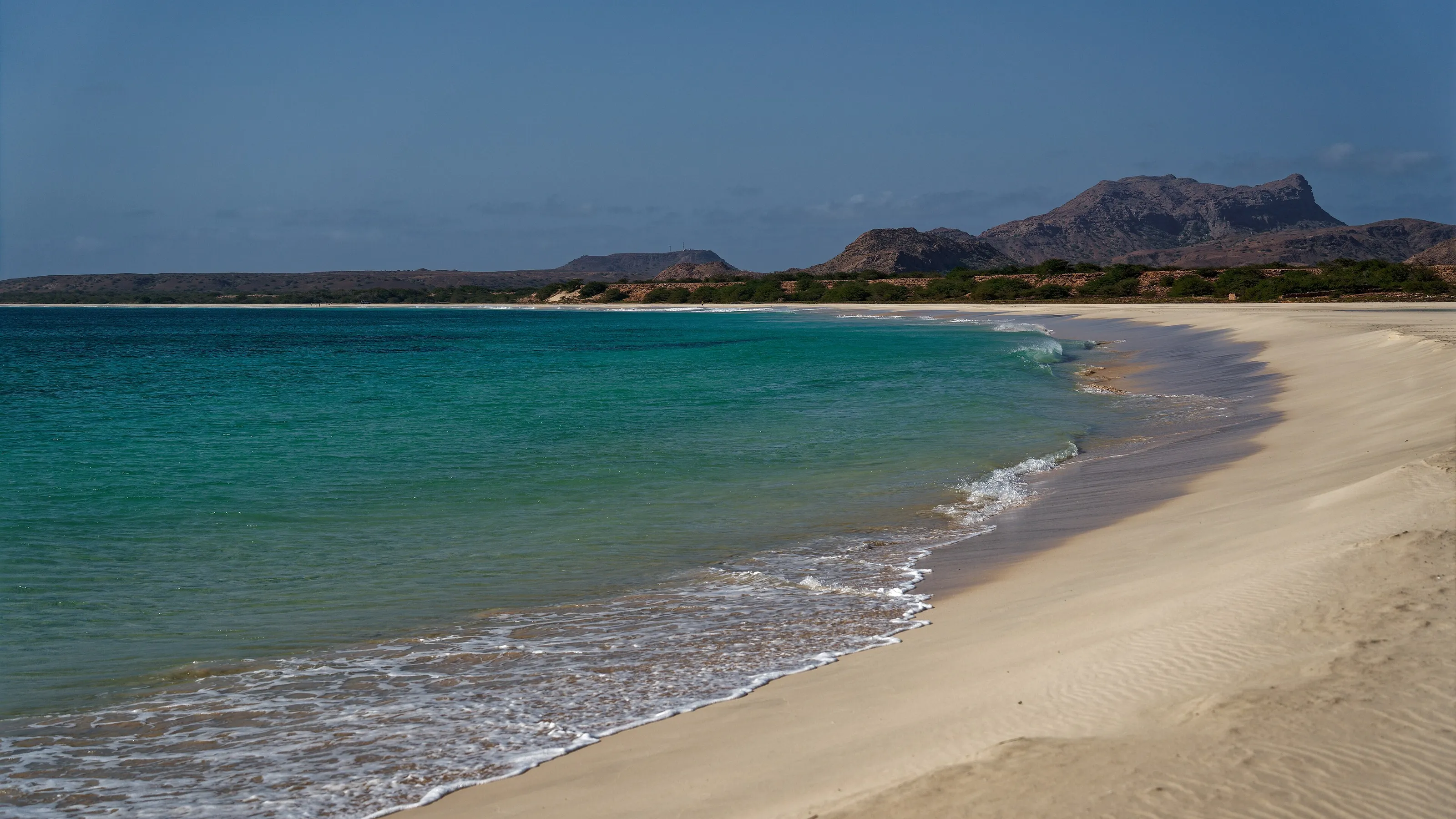
Sal, Boa Vista and Maio are flat, dry and sandy: white beaches, warm clear water, coral reefs and old salt pans. Steady trade winds draw surfers, windsurfers and kitesurfers, and Sal alone takes more than half of the country's overnight stays.
Hiking on Santo Antão
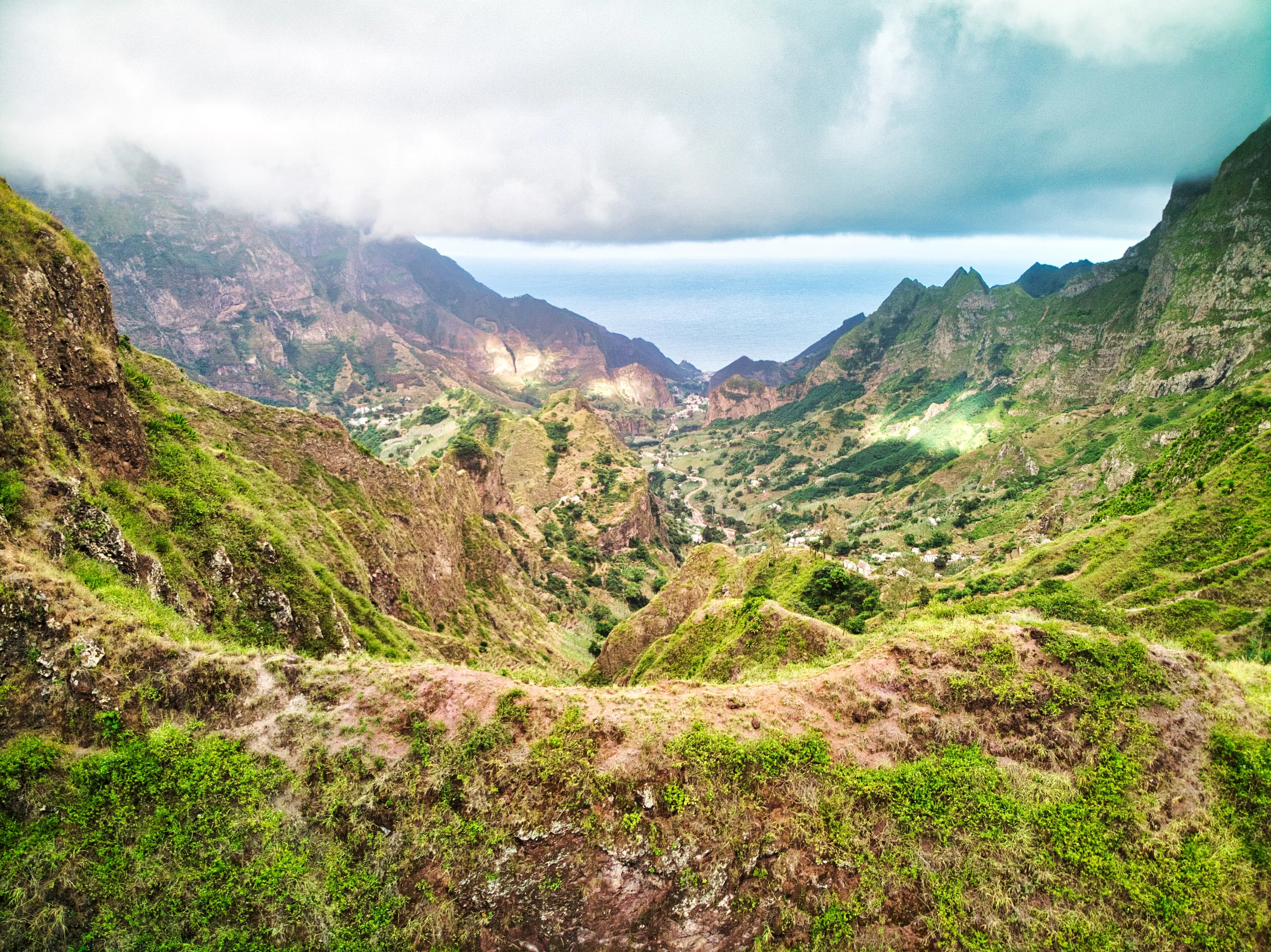
The greenest and steepest island has Topo de Coroa at 1,979 metres, the valleys of Paúl and Ribeira Grande and basalt trails that climb through cloud. Walking here means terraces, sugar cane and sudden views down to the sea.
A volcano you can climb
Pico do Fogo rises to 2,829 metres and is the biggest active volcano in the region; its latest lava flows date from 1995 and 2014. Visitors walk across the lava to the crater rim, and the island even makes wine and coffee on its slopes.
Morna, Creole and morabeza
Cape Verdean culture blends African and Portuguese roots: morna made famous by Cesária Évora, funaná, batuque and the Mindelo Carnival. Locals talk about morabeza, a spirit of welcome that visitors mention again and again.
Where to go
Sal, Boa Vista, Santo Antão, Fogo and Santiago
Few travellers try every island, so most trips pair a beach island with a mountain one. Connections rely on domestic flights, ferries and shared minibuses, so leave slack in the schedule. If you want to extend the trip to the mainland, see also our Senegal page.
Sal and Boa Vista: white sand and turquoise water
Sal is named after the salt pans that powered its economy from the 18th century to the mid-20th, and today the island is given over almost entirely to tourism. Flat and almost lunar, it offers pale beaches, Murdeira Bay, Buracona, Ponta Preta and the Cave of Love. Neighbouring Boa Vista has long beaches and dunes, with Sal Rei as its main town. Both suit relaxed stays with water sports all year.
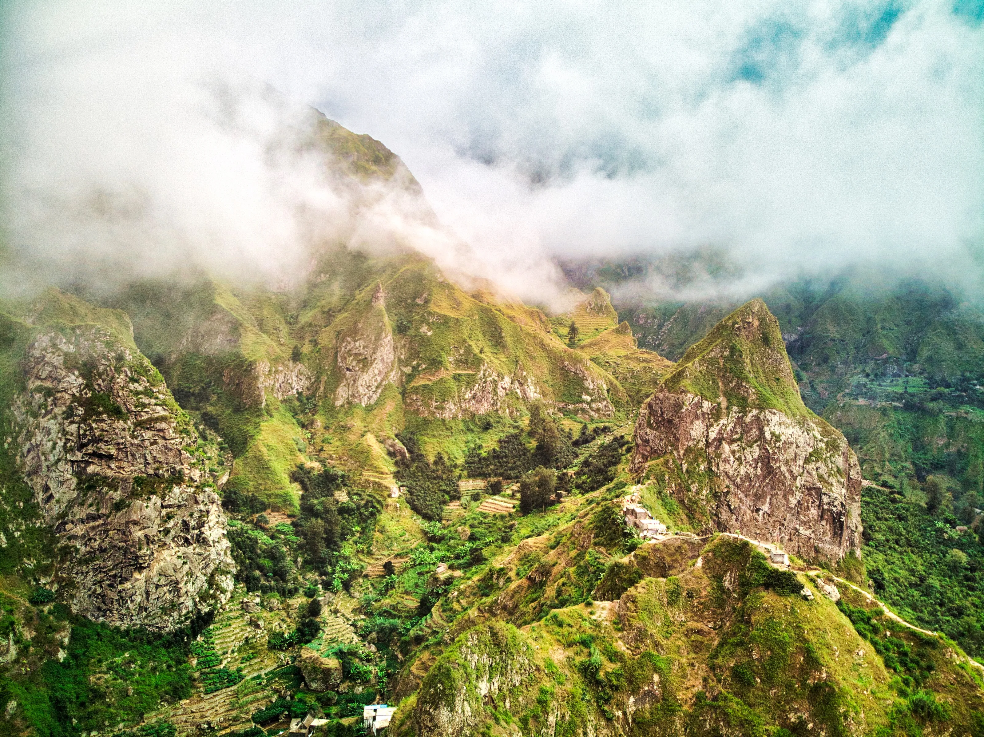
Santo Antão: trails between cloud and green valleys
In the north-west of the archipelago, Santo Antão is reached by ferry from Mindelo. Huge mountains dominate: Paúl Valley, Ribeira Grande, Topo de Coroa and Pico da Cruz. Hiking and canyoning share the slopes with terraced fields of sugar cane and bananas, and the cane feeds the local spirit, grogue. The north is green and the south arid, so the contrasts come within a few kilometres.
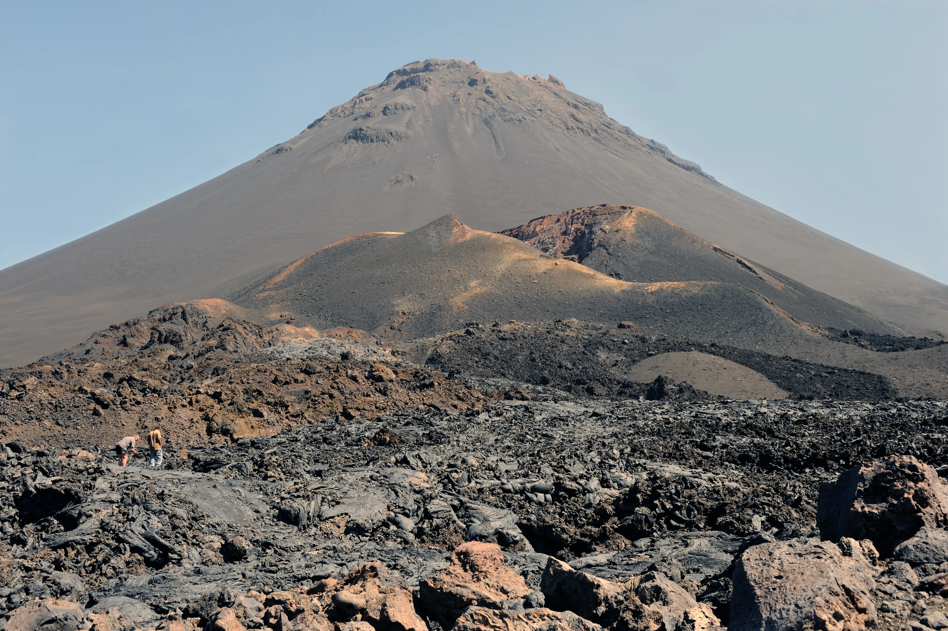
Fogo: the Pico and its caldera
The island of Fogo takes its name from a volcano that is still active. Climbing Pico do Fogo across lava fields is the headline excursion, and the caldera, roughly eight kilometres across, holds villages and vines. Fogo is also one of the most fertile islands, with wine, coffee and well-kept colonial houses in São Filipe between hikes.
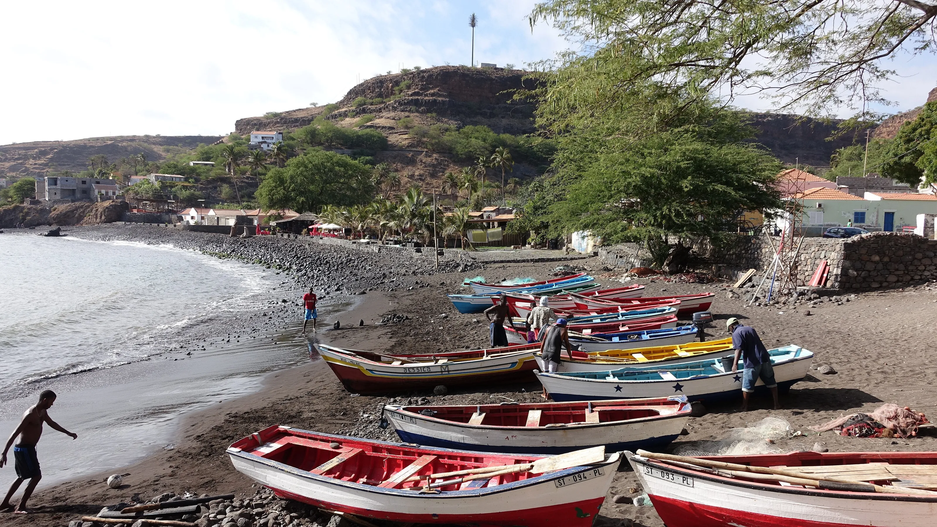
Santiago: Praia, Cidade Velha and Tarrafal
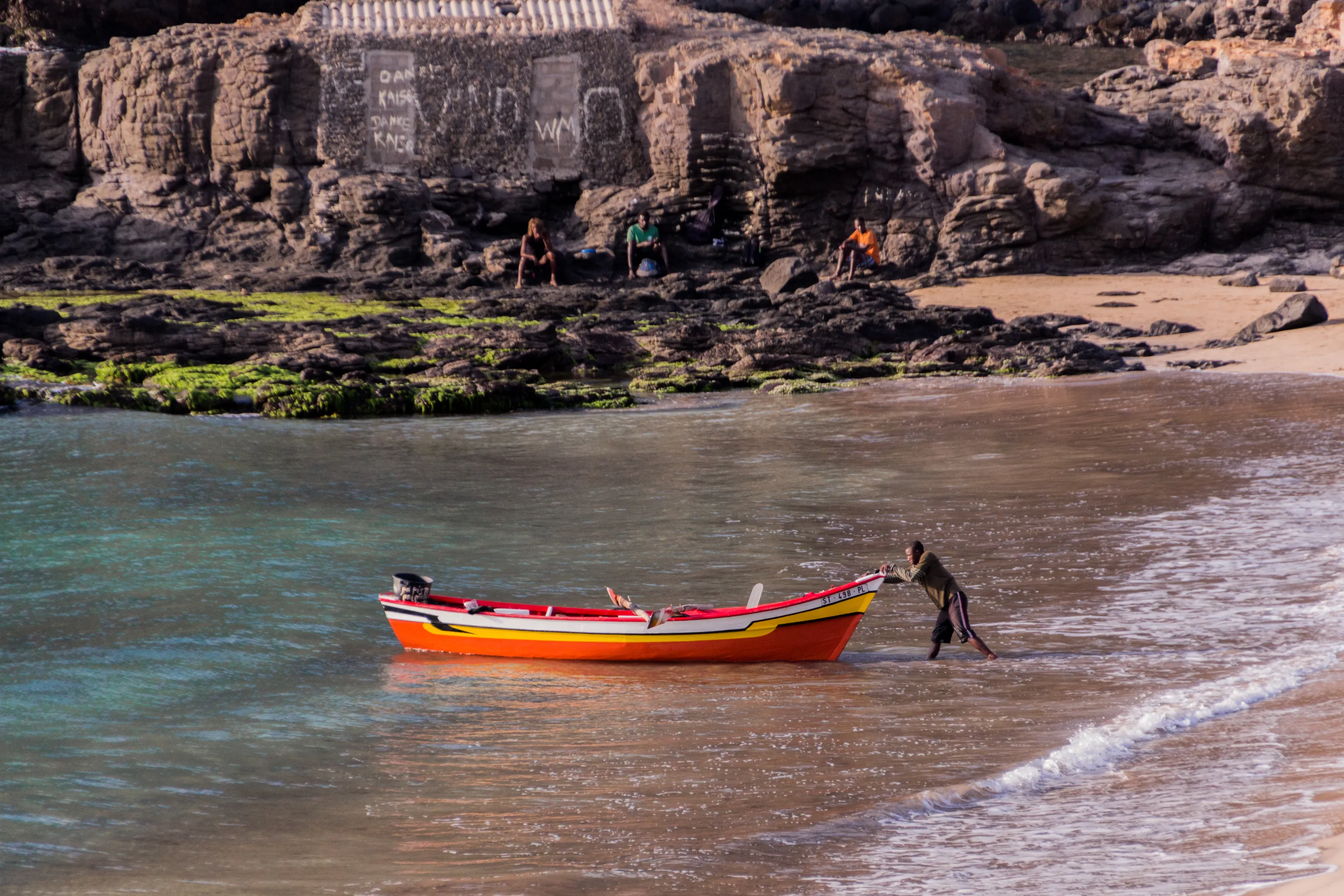
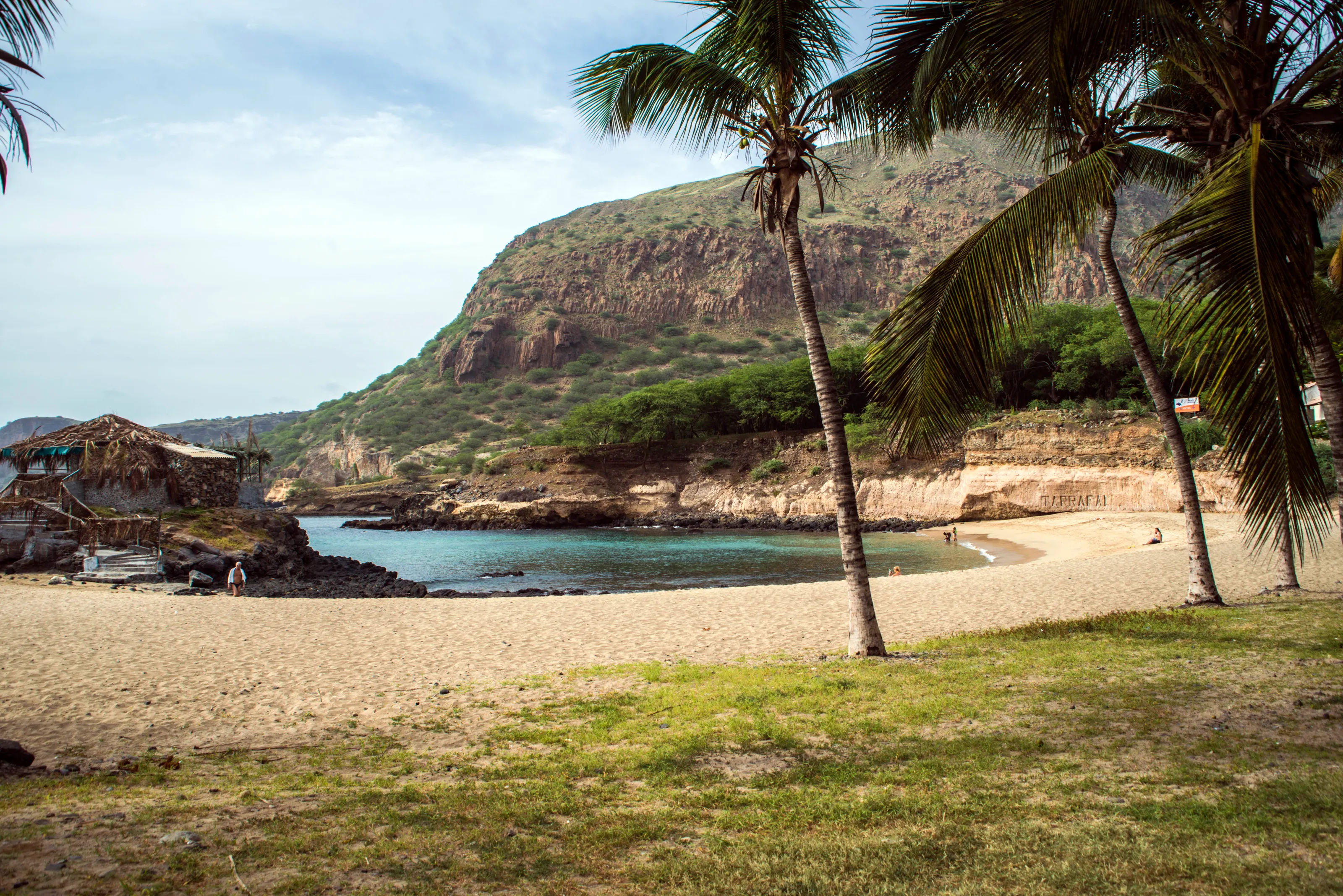
Santiago is the largest and most populous island, home to the capital, Praia. At Cidade Velha, founded in 1462 and described as the first permanent European settlement in the tropics, the history of the slave trade and of Atlantic navigation comes into focus. In the north, Tarrafal is known for its bay and palm trees, and the interior has markets and valleys that reward a day by car or shared minibus.
Before you go
A mild climate all year, with trade winds from November to May
| Island or area | Climate | Best time to visit |
|---|---|---|
| Sal and Boa Vista | Hot and dry, roughly 20 to 30 °C; steady trade winds, with Saharan dust haze possible in January and February. | Year-round for beaches; November to May for wind |
| Santo Antão | Wetter at altitude, with frequent mist; greenest after the short rainy season. | October to December for walking |
| Fogo | Cool at altitude on the caldera; clear mornings for the Pico climb. | November to May |
| Santiago and Praia | Warm, with some showers during the August to October rains. | November to June |
| São Vicente (Mindelo) | Windy and dry; Carnival falls in February or March. | November to June |
The rainy season is short, from August to October, and very irregular; the sea is at its warmest then, around 27 °C, against about 23 °C in winter. Pack a light jacket for windy evenings and the mountains, and keep an eye on flight prices before fixing your dates.
Getting around
Domestic flights, ferries and shared minibuses between islands
Every island has at least one port, and most are linked by domestic flights. For Santo Antão you take the ferry from Mindelo on São Vicente. On land, aluguers, shared minibuses, serve villages and valleys for modest fares, and many roads are cobbled, which makes driving slow but scenic.
Allow generous time for island connections and check ferry times the day before. A local guide helps on volcano climbs and the Santo Antão trails. The islands are described as safe, but pickpocketing does happen in crowds and markets; take care when swimming too, as some beaches have currents.
Food and culture
Cachupa, grogue and morna: Cape Verde on a plate and in a song
Cachupa, a slow-cooked stew of corn, beans and fish or meat, is the signature dish, often fried for breakfast the next day. Pastel, a fried pastry filled with fish, goes with a drink, and grogue, a sugarcane spirit distilled on Santo Antão and Santiago, is the base of ponche.
The islands gave the world morna, a melancholy song in Creole made famous by Cesária Évora, followed by coladeira, funaná and batuque. Mindelo on São Vicente is often called the cultural capital and its Carnival is a major event. On Fogo, the São Filipe festival falls in late April.
Flying to Cape Verde
The Cape Verde airport tracked by SniperAir
Amílcar Cabral International
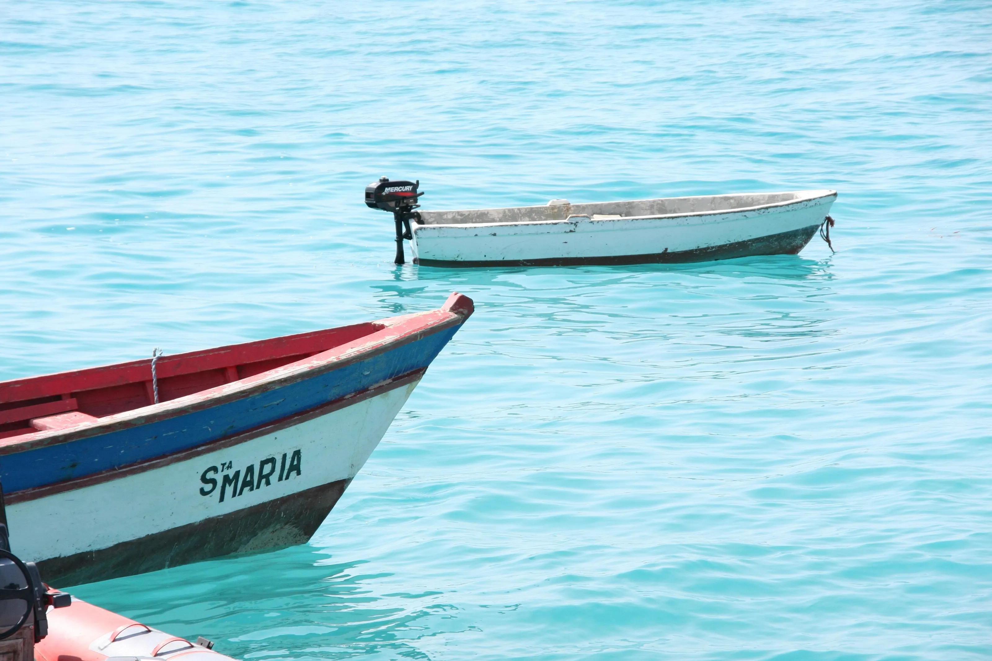
The international airport on Sal, near Espargos and about 20 km from the resort town of Santa Maria. It is the gateway for most beach holidays, and other islands are reached by domestic flight or ferry.
FAQ
Frequently asked questions about Cape Verde
Which airport should I use to travel to Cape Verde?
Cape Verde has four international airports: Sal, Praia, Boa Vista and São Vicente. SniperAir tracks Sal (SID), Amílcar Cabral, the busiest for beach holidays. To add another island, plan on a domestic flight or a ferry.
When is the best time to travel to Cape Verde?
The climate is mild all year. Trade winds blow from November to May, ideal for wind sports, and the short rainy season runs from August to October. For hiking on Santo Antão the weeks after the rains are greenest; in January and February Saharan dust can haze the sky.
Is Cape Verde expensive to visit?
Costs on the ground stay moderate, especially away from the big resorts on Sal. Your budget depends mostly on the flight, the accommodation and island-to-island transport. Watching flight prices and staying flexible on dates helps keep the bill down.
Do I need a visa for Cape Verde?
Rules depend on your nationality and change over time. According to the tourism board, a visa can be obtained on arrival or in advance, every traveller must complete an online pre-registration and an airport security tax is payable. Check official sources before you go.
How long should I spend in Cape Verde?
A week is enough for one beach island, and ten days lets you add a mountain island such as Santo Antão or Fogo. The country rewards going island by island, so two or three islands beats trying to see them all.
Is Cape Verde safe for travellers?
The tourism board presents it as safe. As anywhere, keep valuables out of sight in crowds and markets, especially in Praia and Mindelo, and watch for sea currents. Mountain trails call for sturdy shoes and, ideally, a guide.
How do I get alerted when flights to Cape Verde drop in price?
Create a SniperAir alert profile with your departure airport and Sal as the destination. We track prices and notify you as soon as a match appears. See how it works.
Ready to track prices to Cape Verde?
Create an alert and let SniperAir do the rest.
Create my alert