
Travel to Mauritania
Between the Atlantic and the Sahara, Mauritania is a land of dunes, sandstone plateaus, UNESCO-listed caravan towns and coasts where millions of migratory birds spend the winter. It is an unusual, little-visited trip. Here is what to know before you look for cheap flights to Mauritania.
Mauritania in numbers
Capital
Nouakchott
Population
About 4M
Area
~1,030,000 km²
Currency
Ouguiya
Languages
Arabic, Hassaniya, French
Atlantic coast
~800 km
Continent
Africa
Time zone
UTC+0
Airports covered
1
Why visit Mauritania
Endless dunes, stone towns and a wild coast
The Adrar dunes and plateaus
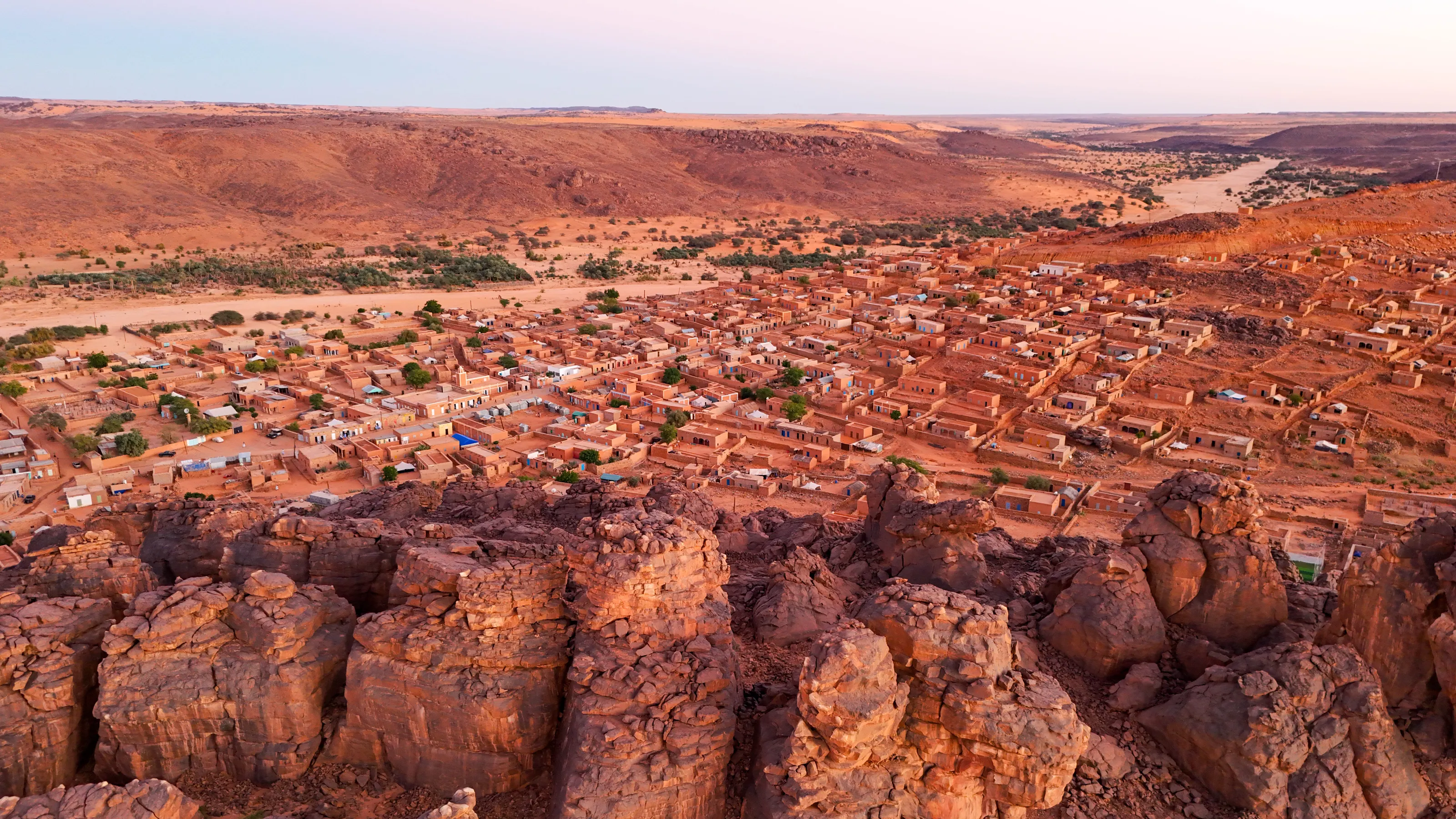
North of the capital, the Adrar is a massif of sandstone plateaus, valleys and palm groves where dunes run up against the rock. Tracks lead to hidden oases and stone villages.
Chinguetti, Ouadane and the caravan towns
The old ksour of Chinguetti, Ouadane, Tichitt and Oualata have been UNESCO-listed since 1996. Former stops on the trans-Saharan trade, they keep libraries of ancient manuscripts.
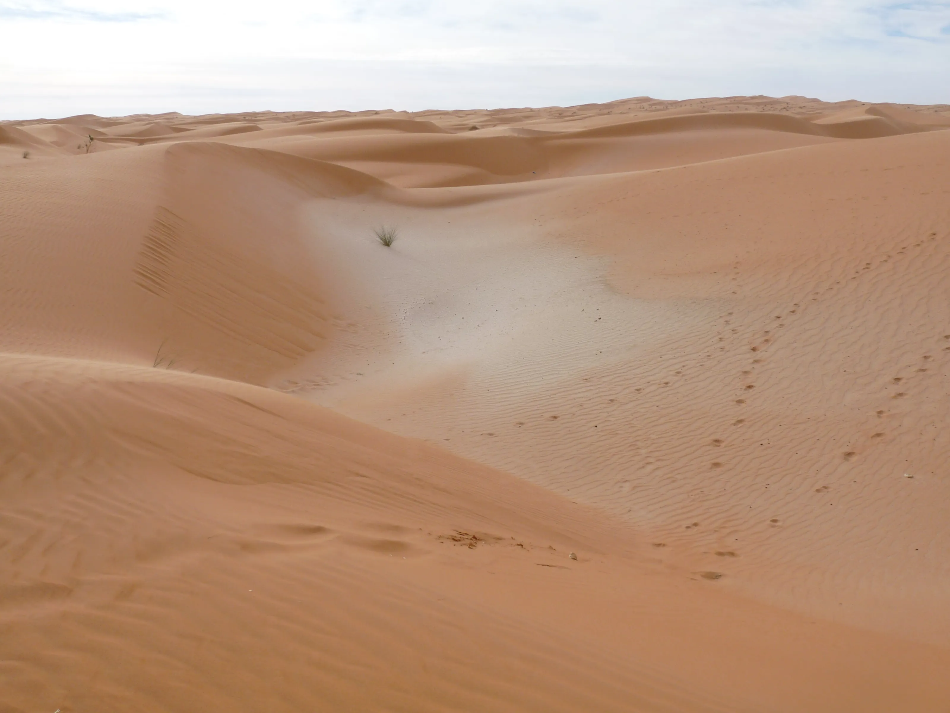
The Richat, the Eye of the Sahara
This circular structure, tens of kilometres across and made of rings of rock, is only fully visible from space. On the ground you explore it on foot or by 4x4 near Ouadane.
Banc d'Arguin National Park
On the coast, this park of more than 10,000 km² mixes dunes, mudflats and islands. UNESCO-listed in 1989, it hosts over two million migratory birds, including flamingos and pelicans, and Imraguen fishing villages.
Where to go
The Adrar, the Richat, Banc d'Arguin and Nouakchott
Mauritania is best visited with a local agency and an off-road vehicle: distances are huge and tracks are rough. Before arranging any journey into the desert, check your government's official travel advice.
The Adrar: Chinguetti, Ouadane and the oases
The Adrar massif is the most visited region. Atar is its capital, and Chinguetti, nicknamed the Sorbonne of the desert, keeps its manuscript libraries in red stone houses half buried by sand. Ouadane, further north, has a ruined ksar overlooking the palm grove. The Adrar oases, with their springs and palms, refresh the stages of any route.
The Richat, the Eye of the Sahara
Near Ouadane, the Richat Structure is an eroded dome forming concentric rings of rock. Long thought to be an impact crater, it is now understood as a geological dome worn down by erosion. It only really makes sense from above: the picture here is a view from space. On the ground you explore its edges and valleys by 4x4 or on foot.
Banc d'Arguin and the Atlantic coast
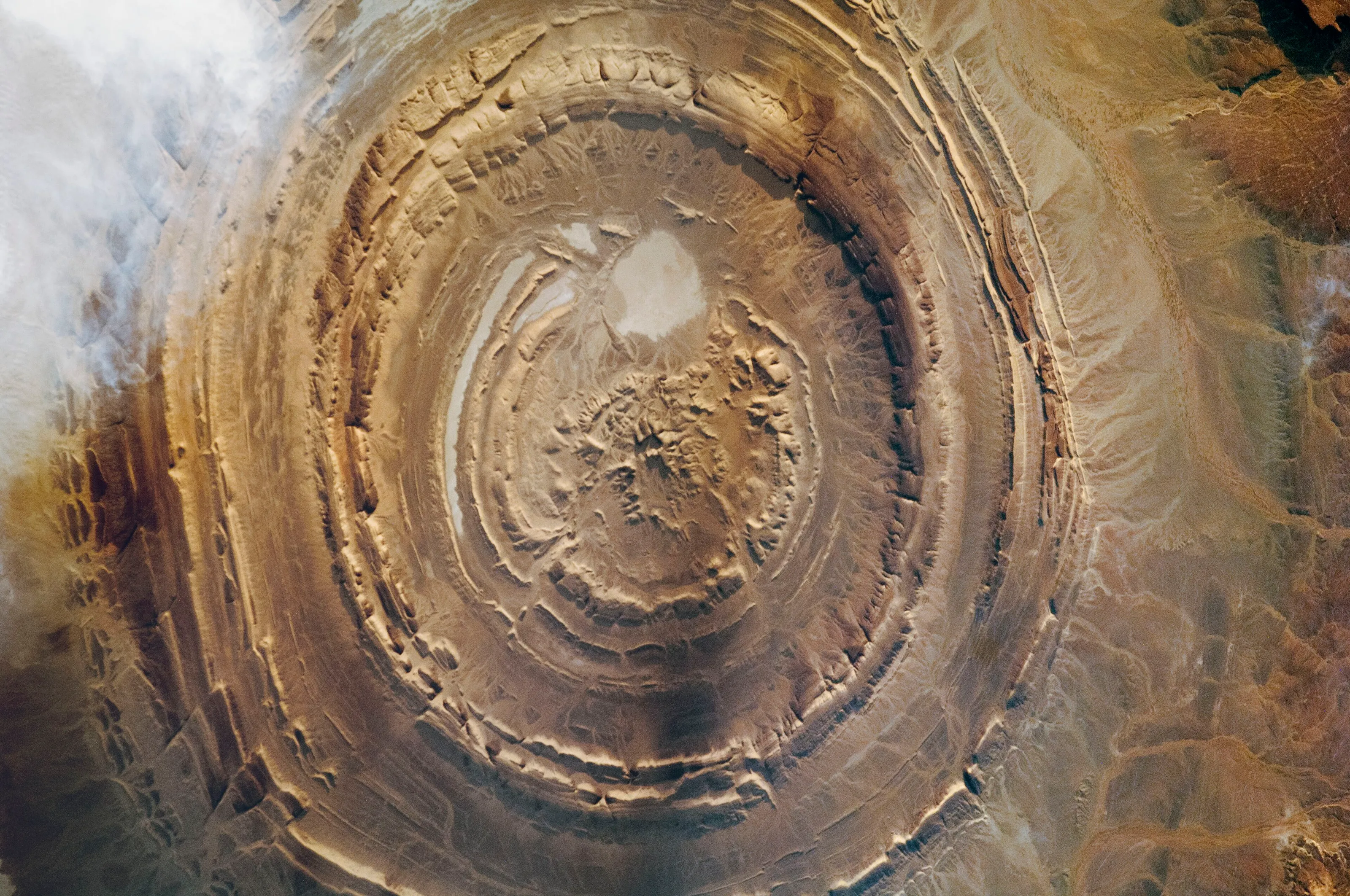
Between Nouakchott and Nouadhibou, Banc d'Arguin National Park covers more than 10,000 km² of shallow sea, mudflats and dunes. Over two million migratory waders spend the winter there, and Imraguen fishermen still fish by traditional methods, with the help of dolphins according to local legend. Nouadhibou, in the north, is the economic centre of the coast and the end of the ore train.
Nouakchott and the south-east
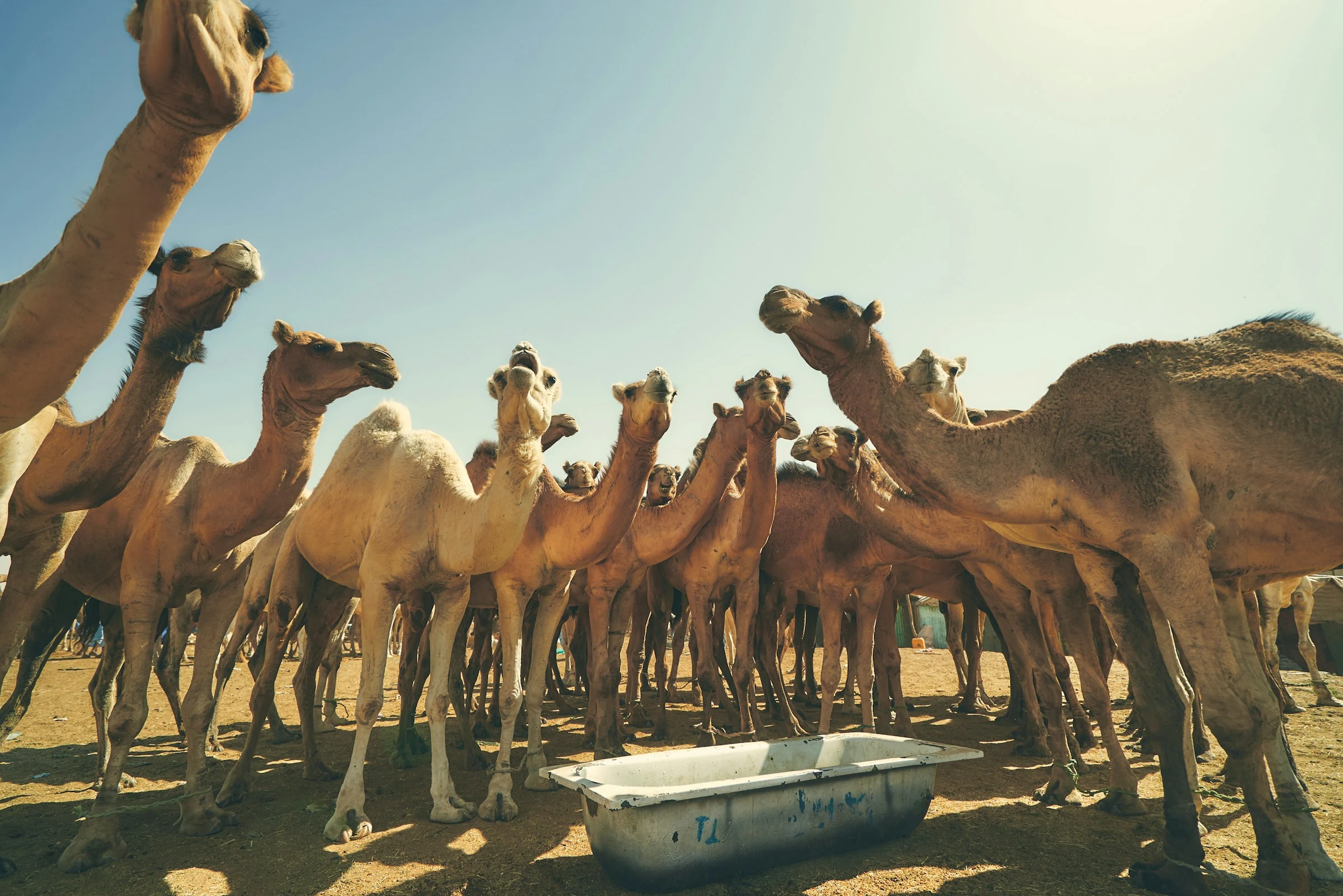
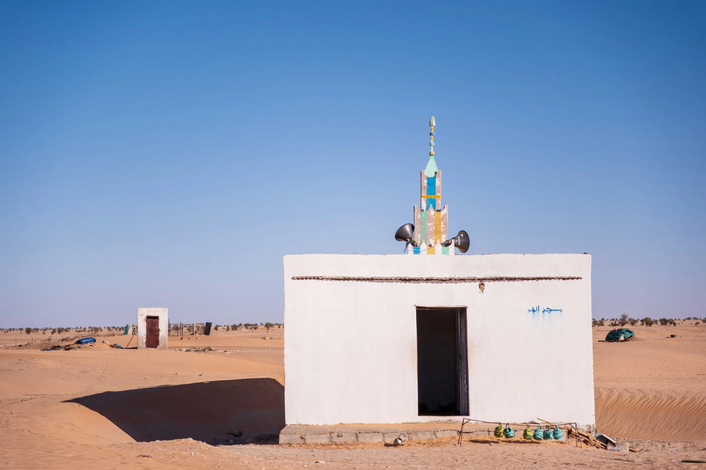
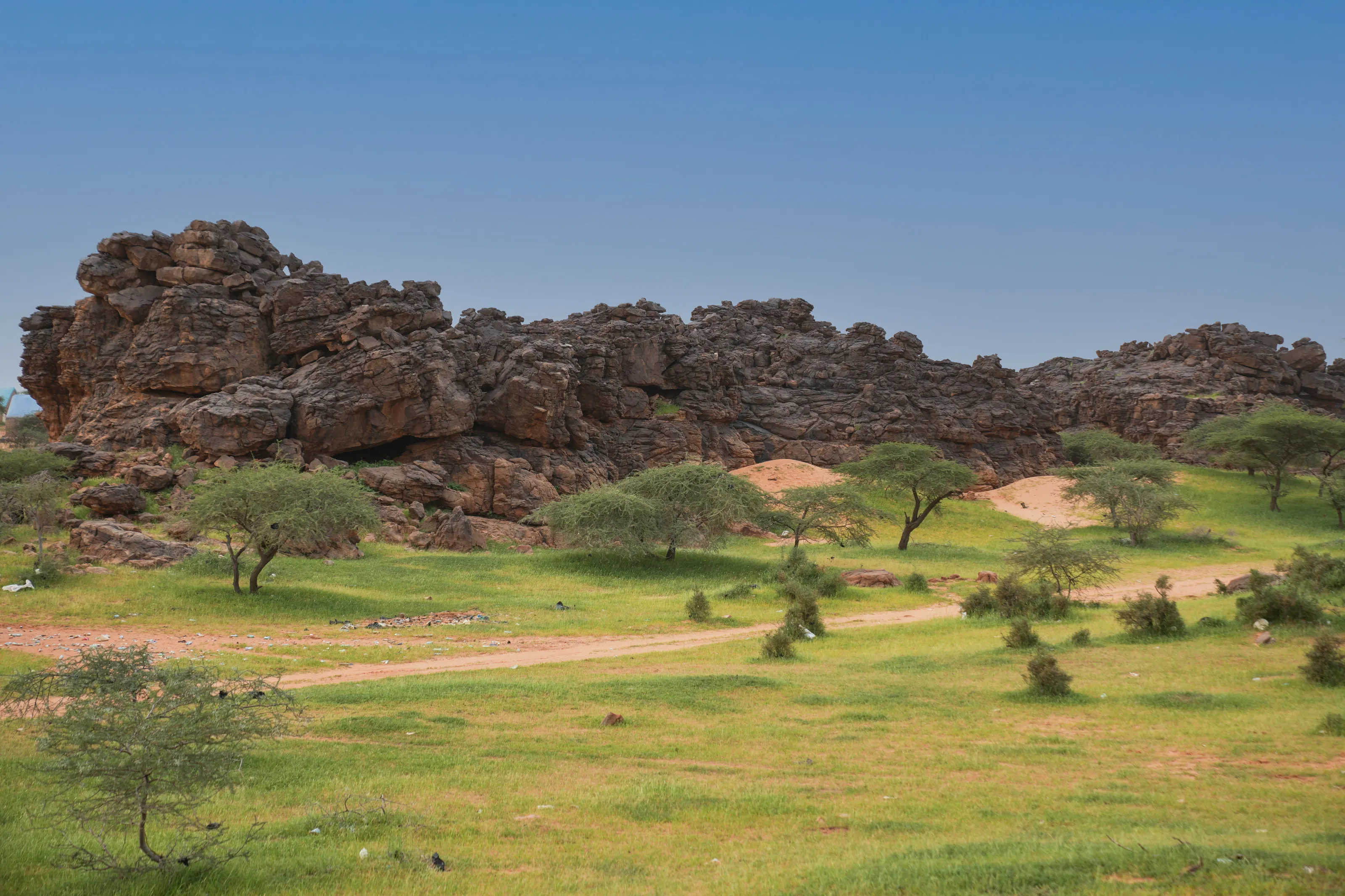
Nouakchott, founded in 1958 to become the capital, stretches between the Atlantic and the desert. You can visit the camel market, the fishing port, the beach and the mosques, and eat grilled fish. In the south-east, around Ayoun el Atrous, the rainy season turns the acacias and dark rocks green, an unexpected contrast with the Sahara.
Before you go
November to February, while the heat is still bearable
| Area | Climate | Best time to visit |
|---|---|---|
| Nouakchott and coast | Desert, softened by Atlantic winds and fog; 20 to 24 °C in January, above 30 °C in summer. | November to March |
| Adrar and desert | Very dry, with hot days even in winter and cool nights; sandstorms possible, scorching in summer. | November to February |
| Banc d'Arguin | Milder thanks to coastal fog; migratory birds numerous in winter. | November to March |
| South and south-east | Sahel: short stormy rains mostly from July to October, hotter and more humid. | November to February |
Seasons are not sharply marked: summer is stifling, with highs that can exceed 45 °C inland. Winter nights in the desert can feel cold. Bring warm layers, water and sun protection, and keep an eye on flight prices before fixing your dates.
Getting around
4x4s, tracks and an ore train
Between Nouakchott and Nouadhibou a paved road of nearly 470 kilometres links the two main cities; beyond that, travel is mostly by 4x4 on tracks. Domestic flights serve some towns such as Atar, but the simplest way is to use an agency that arranges vehicle, driver and camps.
The ore train between Zouerat and Nouadhibou, one of the longest in the world, draws adventurous travellers: you ride in an open wagon amid iron-ore dust. Bring warm clothes, because nights are cold, and allow extra time.
Food and culture
Tea in three glasses, méchoui and camel milk
Moorish culture is nomadic and hospitable: Hassani music, played on the tidinit and ardin, recalls the feats of warriors of old, and mint tea, served in three rounds, is the classic gesture of welcome. The poetry and manuscripts of Chinguetti are a reminder that the desert was also a land of scholars.
Cooking rests on couscous, méchoui, rice with fish on the coast, dates and camel milk, along with caravan cheese. Mauritania is an Islamic republic: dress modestly, and note that alcohol is officially prohibited.
Flying to Mauritania
The Mauritanian airport tracked by SniperAir
Nouakchott–Oumtounsy International
The country's main international airport, outside Nouakchott itself: plan a road transfer into the capital. It is the gateway to the Adrar, Banc d'Arguin and the rest of the country.
FAQ
Frequently asked questions about Mauritania
Which airport should I use to travel to Mauritania?
Nouakchott–Oumtounsy International (NKC), outside the capital, is the main gateway and the one SniperAir tracks. From there you reach the city and then the desert regions with a local agency.
When is the best time to travel to Mauritania?
November to February: days are hot but bearable and desert nights are cool. Summer is stifling, with highs often above 40 °C, and the rains, mostly from July to October, affect the south.
Is travelling in Mauritania expensive?
Off-road excursions, camps and drivers weigh heavily on the budget because distances are huge. The flight is the most variable part: choosing your dates and watching prices helps keep the bill down.
Do I need a visa for Mauritania?
Entry rules depend on your nationality and change over time. A visa is often required, sometimes available on arrival or online. Check official websites and your government's travel advice before you book.
How long do I need to visit Mauritania?
Allow a week for the Adrar and Nouakchott, and ten to fifteen days if you add Banc d'Arguin, the Richat and a desert crossing. Distances are long and tracks are slow.
Can I travel independently in Mauritania?
In the desert it is advisable to use a local agency with a suitable guide and vehicle. Check your government's official travel advice to learn which regions to avoid and what formalities to plan.
How do I get alerted when a flight to Mauritania gets cheaper?
Create a SniperAir alert profile with your departure airport and Nouakchott as the destination: we monitor prices and notify you as soon as a deal matches. See how it works.
Ready to track prices to Mauritania?
Create an alert and let SniperAir do the rest.
Create my alert