
Travel to Chad: desert lakes, Ennedi and savanna
Green and red lakes in the heart of the Sahara, a sandstone massif carved by the wind, desert pools where camels come to drink and a savanna where giraffes live: Chad is a country of contrasts, to discover when conditions allow. Here is some background before you look at flights to Chad.
Before reading further: many governments advise against or restrict travel to Chad, and the situation can change. Check the official advice of your country of departure before considering any trip; this page only presents cultural and natural landmarks.
Chad at a glance
Capital
N'Djamena
Area
About 1.28 million km²
Currency
CFA franc
Languages
French and Arabic
Highest point
Emi Koussi
UNESCO
Ounianga and Ennedi
Continent
Africa
Time zone
UTC+1
Airports covered
1
Why it fascinates
Saharan lakes, sculpted sandstone and a living savanna
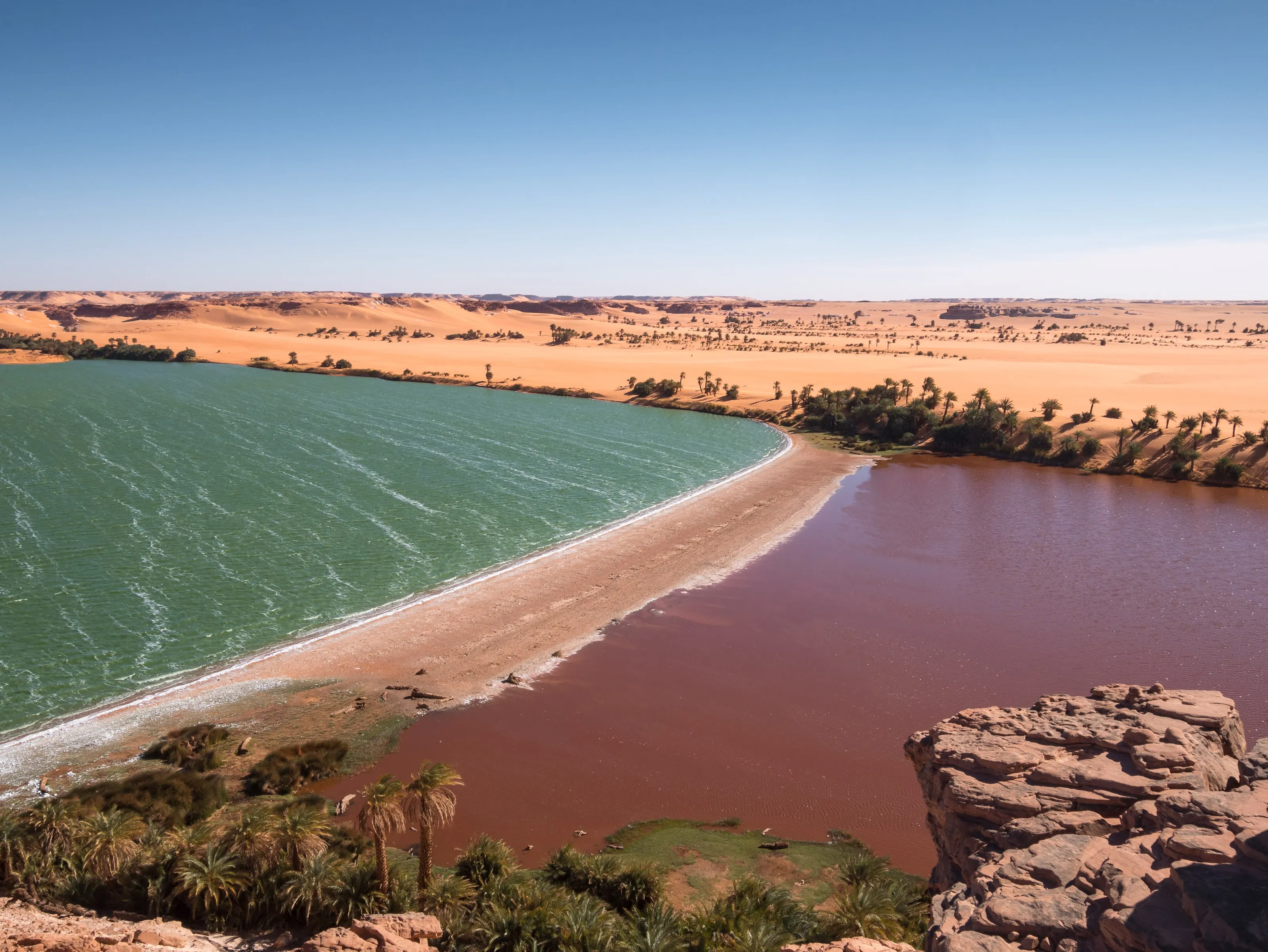
The Ounianga lakes
Eighteen lakes in two groups, in one of the driest places on Earth: some fresh, others very salty, listed by UNESCO in 2012.
The Ennedi massif
Arches, towers and sandstone canyons, gueltas where water lingers and thousands of rock paintings: a cultural landscape listed in 2016.
Zakouma, the savanna
In the south-east, the country's oldest national park, created in 1963, shelters elephants, lions and a large share of the Kordofan giraffes.
From Sahara to Sahel
From the Tibesti, where Emi Koussi tops 3,400 m, to the shores of Lake Chad, the country moves from desert to Sahelian steppe to savanna.
Highlights
Ounianga, Ennedi, Zakouma, Lake Chad and N'Djamena
These are the places that give Chad its reputation for landscape, wildlife and heritage. They are presented as cultural information, landmarks to discover when conditions allow; this page offers no itinerary and no on-the-ground advice.
The Ounianga lakes, water in the middle of the Sahara
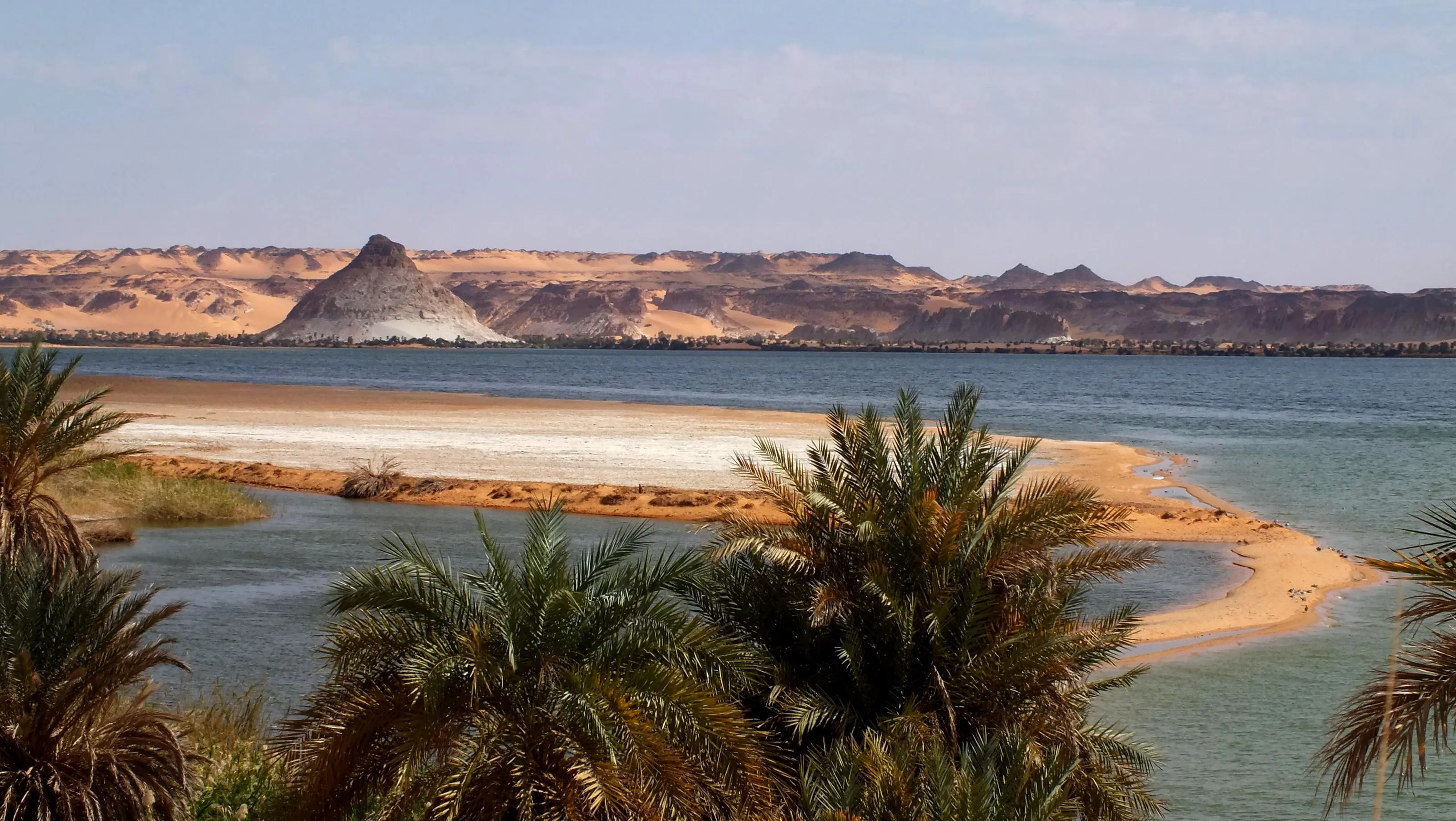
In the north-east, in an area that gets practically no rain, eighteen lakes form the Ounianga Kébir and Ounianga Sérir groups. They are fed by an underground aquifer inherited from wetter times. In the Sérir group most lakes stay fresh, because reed mats slow evaporation, while those of Ounianga Kébir are salty; the largest, Lake Yoa, covers about 3.5 km². The contrasts of green, red and golden sand are striking.
Ennedi, a sandstone labyrinth
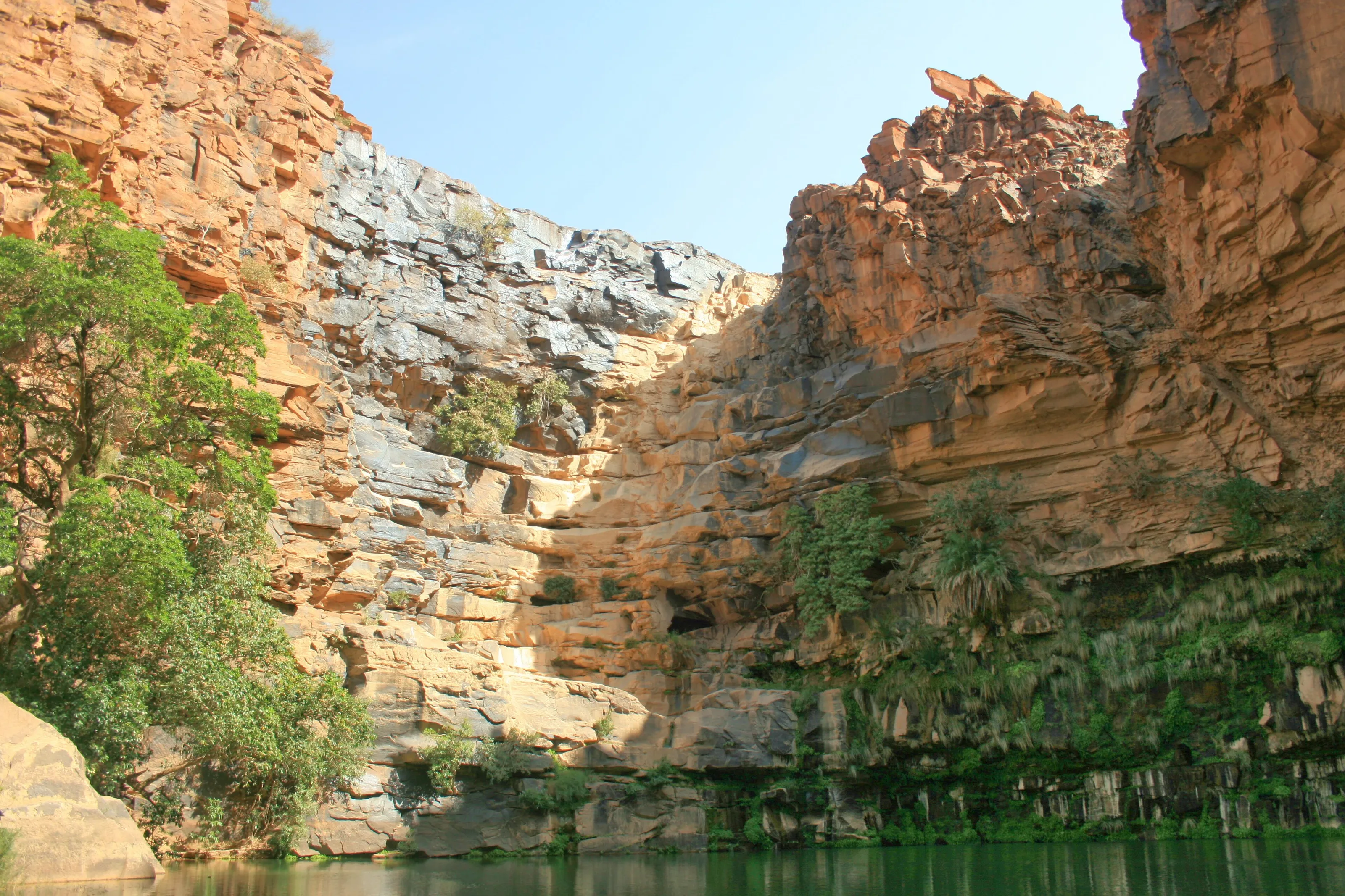
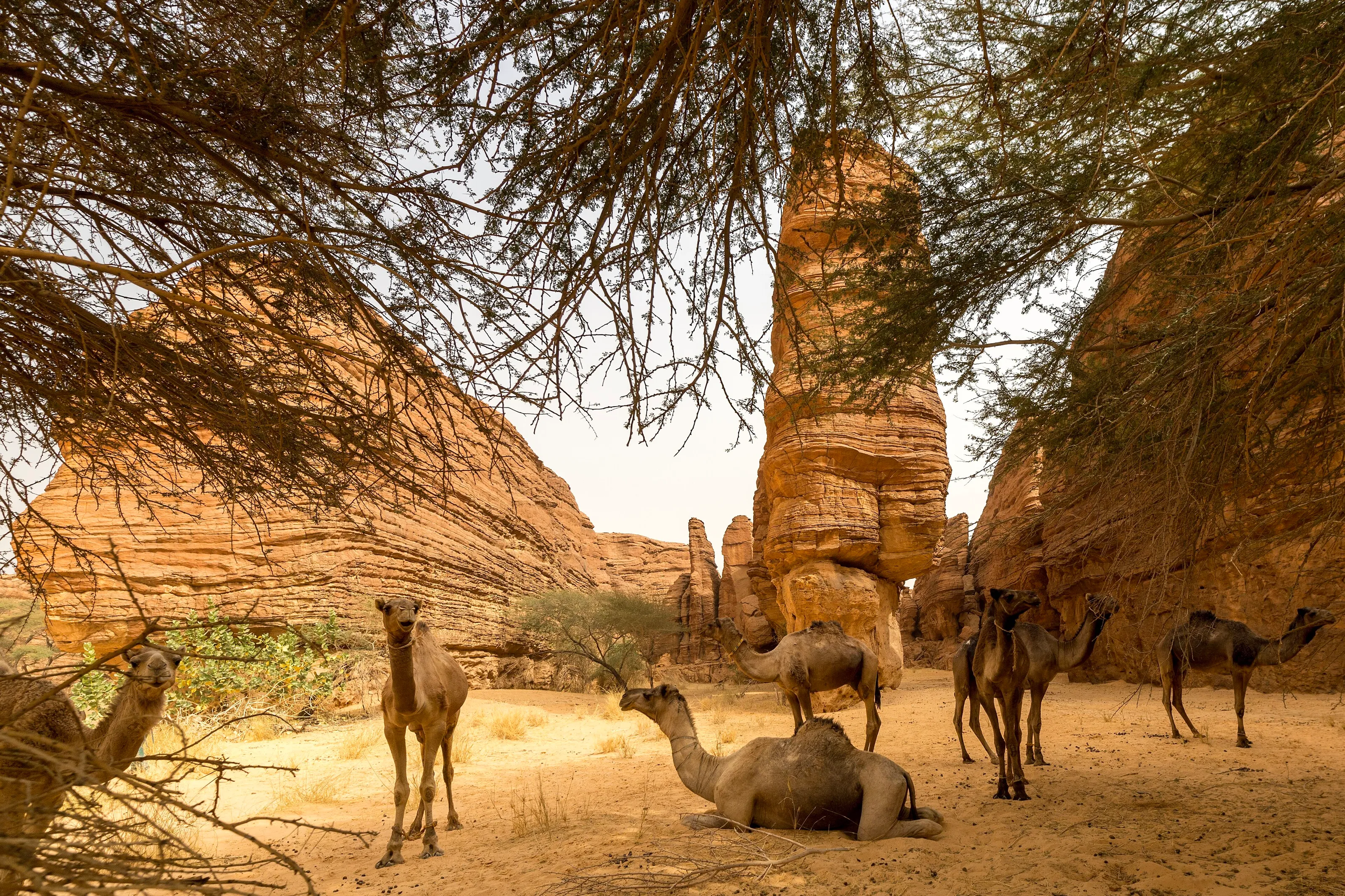
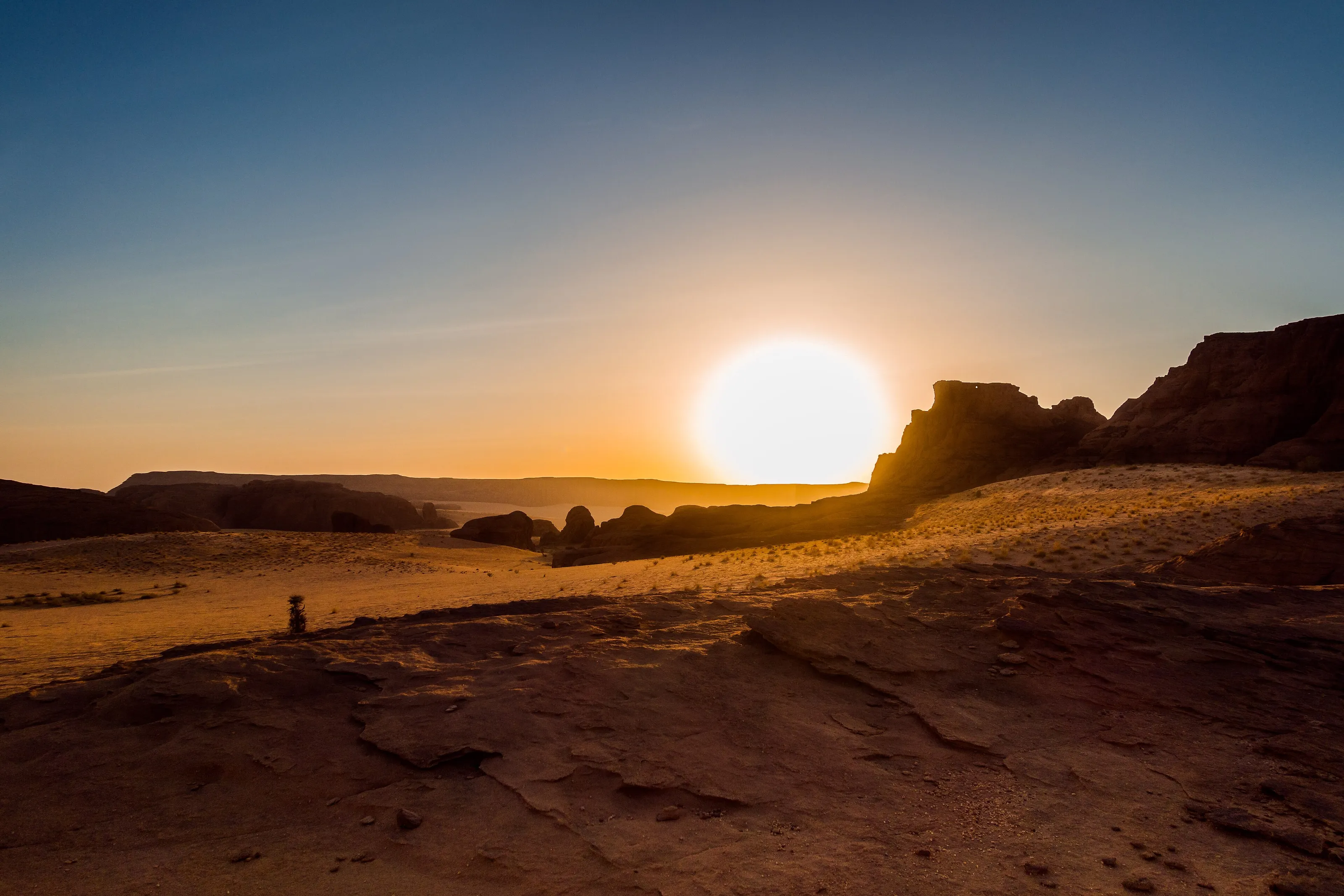
In the north-east, the Ennedi massif, a UNESCO site since 2016, is a sandstone plateau carved by wind and temperature swings into towers, pillars, bridges and arches. Gueltas, permanent pools at the foot of the cliffs, draw herders' camels. Thousands of rock paintings and engravings, about 8,000 years old, mostly show cattle. At sunset the rocks turn orange and then purple.
Zakouma, the oldest protected savanna
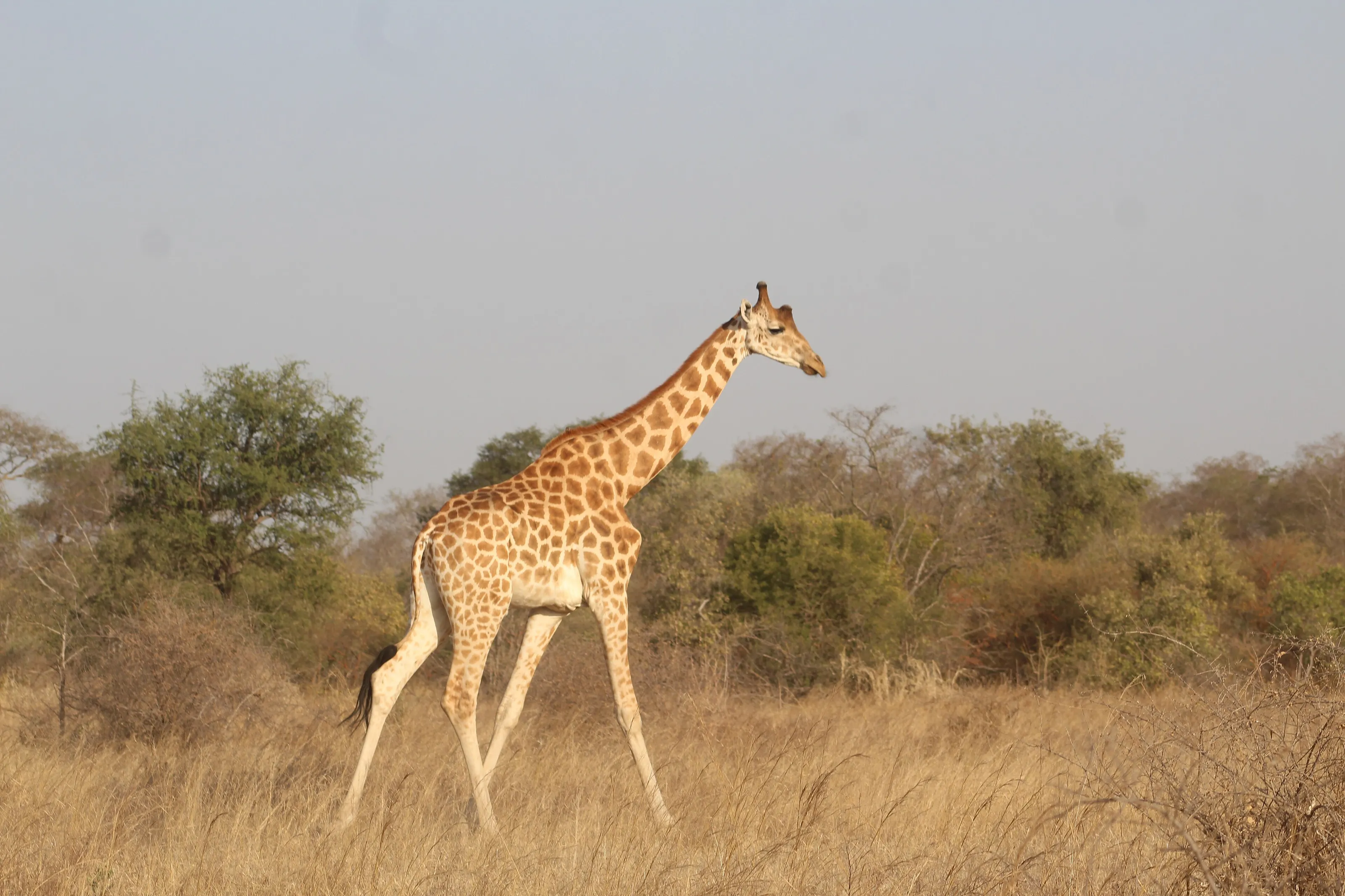
In the south-east, Zakouma National Park, about 3,000 km2, was created in 1963. It has been managed with the support of African Parks since 2010. Its elephants are more numerous again than a decade ago, and the park also shelters lions, buffalo, leopards and a good part of the world population of Kordofan giraffes. The dry season, when animals gather around water, is often cited for wildlife viewing.
Lake Chad, a great shifting lake
In the south-west, Lake Chad, which gives the country its name, is one of the largest closed lakes in the world and has shrunk a great deal over thousands of years. Its surface varies strongly with the seasons, and its wetlands host many migratory birds.
N'Djamena, the capital on the Chari
On the banks of the Chari, N'Djamena, formerly Fort-Lamy, is the country's largest city. It has the National Museum, lively markets and the feel of a big river city, very hot from March to June.
Before you go
Desert, Sahel and savanna: the climate of Chad
| Area | Climate | Period often cited |
|---|---|---|
| North (Ennedi, Ounianga, Tibesti) | Saharan desert: almost no rain, hot days, cool winter nights. | November to February |
| Centre (Sahel) | Sahelian steppe: rain of about 200 to 500 mm, from June to September. | Dry season, November to February |
| South (Zakouma) | Sudanian savanna: rain from May to October, over 900 mm a year. | Dry season, often cited for wildlife |
| N'Djamena | Very hot from March to June (over 38 C by day), rain from July. | December to February, cooler |
Many governments advise against or restrict travel to Chad. These climate notes are cultural information only; check your departure country's official advice before considering any trip, and follow it. Entry requirements vary by nationality.
Getting around
A vast, landlocked country
Chad has no coastline and covers about 1.28 million km2. Travel conditions change and depend on decisions that only the official sources of your country of departure can reliably communicate.
This page offers no itinerary and no on-the-ground advice. It presents the country for what is most precious about it: its landscapes, wildlife and culture, to discover when conditions allow.
Culture and food
Over a hundred languages, herders and okra sauces
Chad counts more than a hundred languages and very many groups; Chadian Arabic and Ngambaye serve as lingua francas, with French and Arabic official. The diversity shows in jewellery, songs and festivals.
The table has room for millet or sorghum balls, okra sauces, fish from the Chari and the lake, and grilled meat; sweet tea accompanies every meeting.
Travel to Chad
The Chadian airport tracked by SniperAir
Hassan Djamous International
The airport of N'Djamena, the capital, a few kilometres from the centre. Some services may be suspended or limited: check the situation before any booking.
FAQ
Frequently asked questions about flights to Chad
Which airport for a flight to Chad?
SniperAir tracks N'Djamena (NDJ). Some services may be suspended or limited: check with airlines and the authorities before any booking. Other cities have their own airports, not covered.
When is the best time to travel to Chad?
From November to February the dry season is coolest; rain falls from May or June to October depending on the region. These are only climate notes.
Is travelling to Chad expensive?
The budget depends on many factors, and the flight is often a large share. We give no prices or estimates: conditions can change and fares vary widely.
Do I need a visa for Chad?
A visa is generally required, but conditions vary by nationality and can change. Ask the competent authorities and check the official website of your country of departure.
How long should I plan for?
The length depends entirely on conditions at the time, and SniperAir offers no itinerary. Distances are very long; the answer belongs with official sources.
What should I know before going?
Many governments advise against or restrict travel to Chad, and the situation can change. Check the official advice of your country of departure before considering any trip. This page is cultural information: it does not recommend travelling.
How do I get alerted when a flight to Chad changes price?
SniperAir monitors flight prices and sends alerts; we do not sell or book any ticket. Create an alert profile with your departure airport if you follow this destination. See how it works.
Follow flight prices to Chad?
Create an alert and let SniperAir do the rest.
Create my alert