
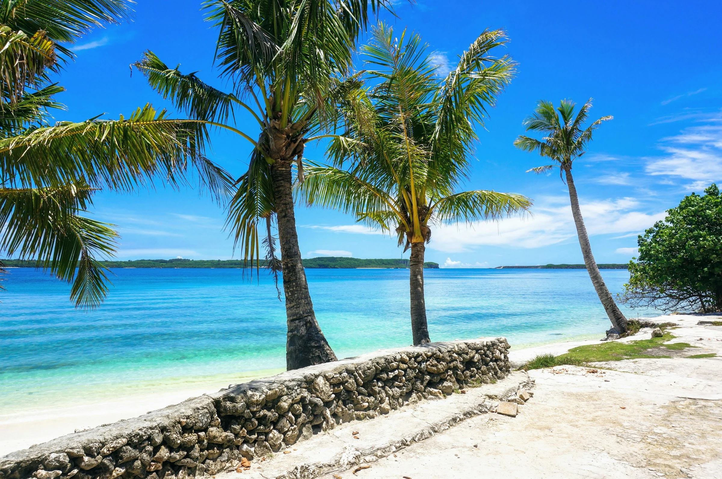
Travel to Guam: cheap flights to Guam
A US territory in the Mariana Islands, about three hours by air from Japan and the Philippines, Guam combines CHamoru traditions that go back thousands of years, the beaches of Tumon Bay and the memory of the Pacific war. Here is what to know before you go, and how to watch fares to Guam.
Guam at a glance
Capital
Hagåtña
Population
~168,000
Area
~545 km²
Currency
US dollar
Languages
English, CHamoru
Highest point
Mount Lamlam
Status
US territory
Time zone
UTC+10
Airports covered
1
Why visit Guam
A slice of America in the western Pacific
CHamoru culture over 4,000 years old
The CHamoru have lived here for millennia. Latte stones, megalithic pillars found only in the Marianas, once held up houses, and inafa'maolek, harmony, remains a core value.
Beside the Mariana Trench
Challenger Deep, Earth's deepest point at about 10,900 m, lies south-west of the island. Mount Lamlam, about 407 m, is billed as the tallest mountain on Earth when measured from the trench floor.
Asia three hours away
A US territory where you pay in dollars, Guam draws mainly Japanese visitors, then Koreans, Filipinos and Taiwanese. The result is lively beaches and plenty of flight connections.
Beaches, reefs and diving
Tumon Bay is a marine preserve, with snorkelling at Ypao Beach Park, coral reefs and calmer outings around Piti. Water that stays near 27 C all year is the island's first card.
Places to see
Tumon, Hagåtña, the south and Ritidian Point
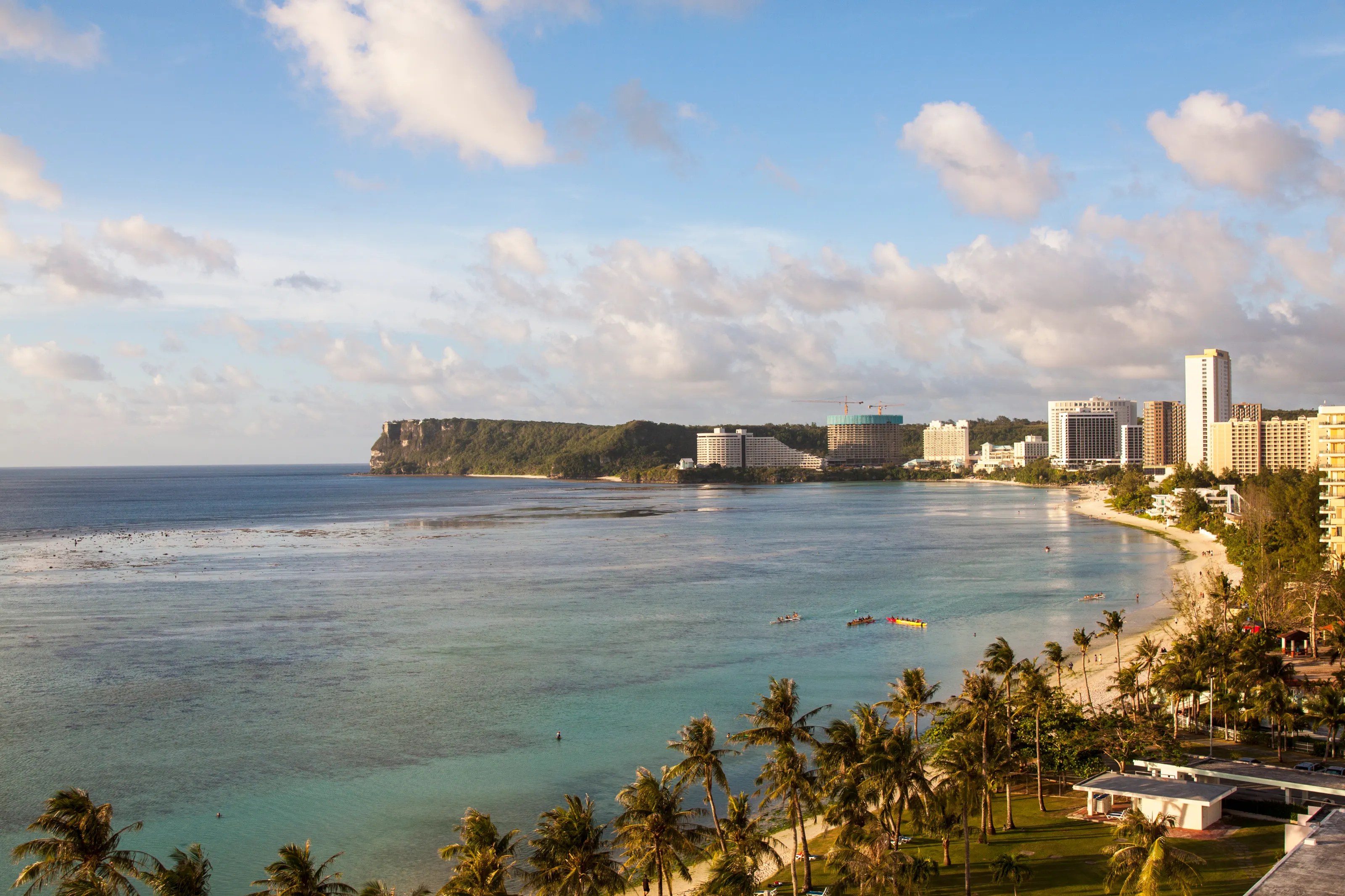
Tumon, the beach strip
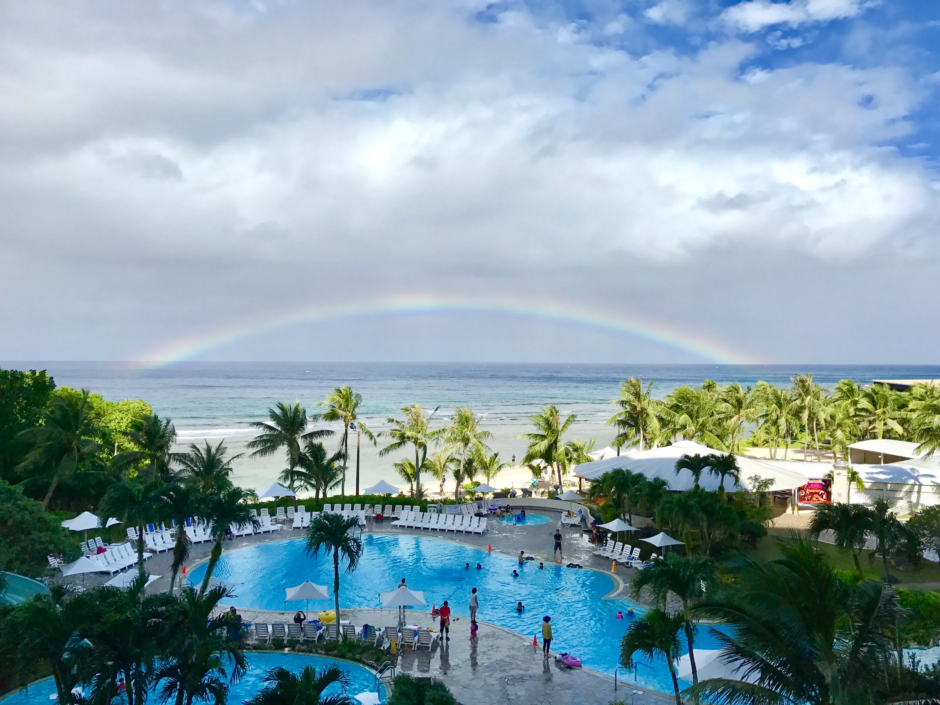
Tumon Bay is Guam's tourist hub, with more than twenty large hotels, calm water and a marine preserve. Ypao Beach Park is the place to swim and snorkel, and a tunnel through the cliffs, used by Japanese forces during the war, leads to the bay.
Hagåtña, the historic capital
With fewer than a thousand residents, Hagåtña was founded by the Spanish in 1668. You can see Plaza de España, remains of Spanish rule, the cathedral-basilica and Fort Santa Agueda; the Chamorro Village Night Market runs every Wednesday evening.
War in the Pacific park
War in the Pacific National Historical Park has six units, including the Asan Bay Overlook honouring those killed during the Japanese occupation and the battle of 21 July to 10 August 1944. Liberation Day on 21 July is the island's main holiday.
The south and Ritidian Point
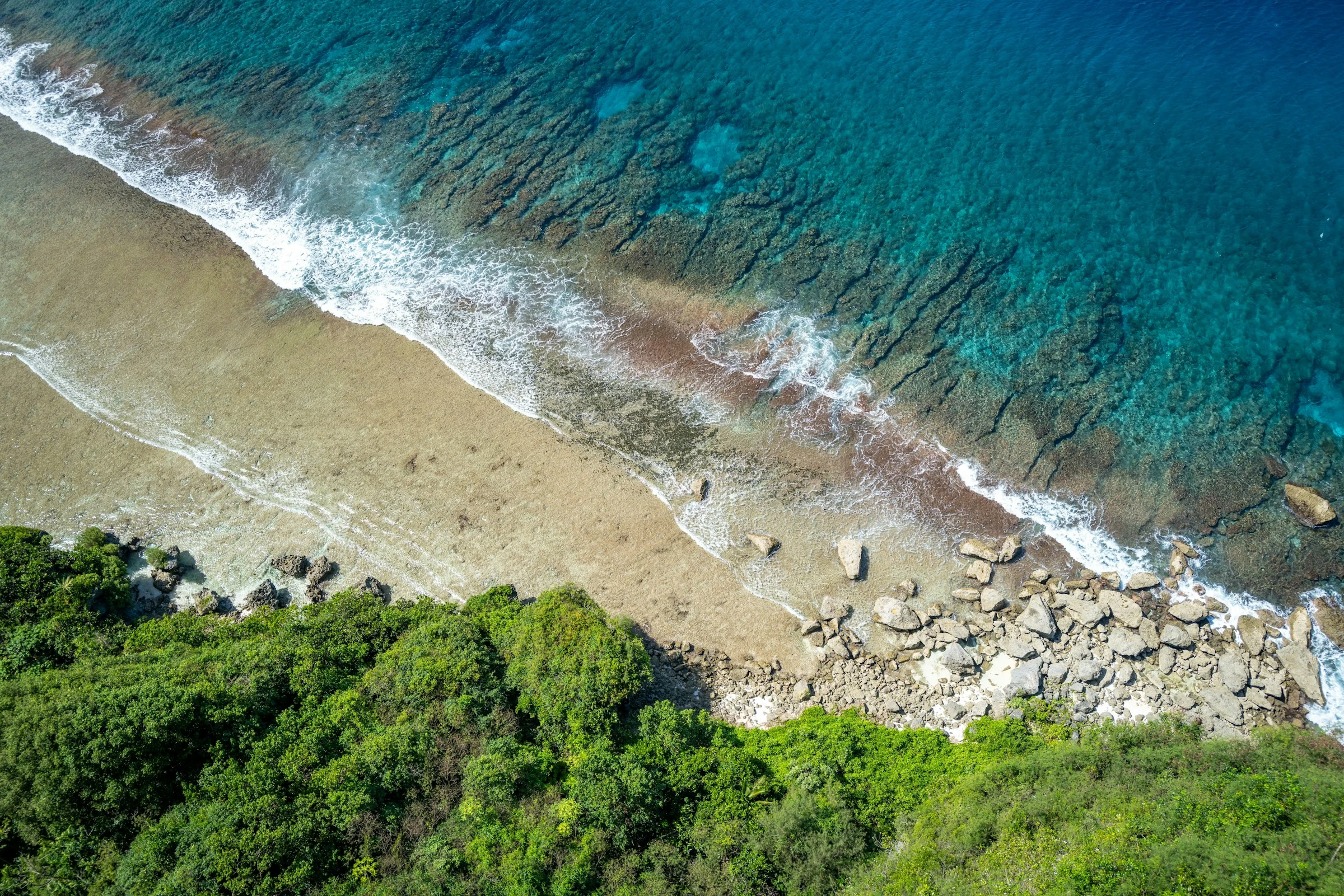
In the south, Umatac, where a marker recalls Magellan's 1521 arrival, and Inarajan are linked by scenic roads dotted with waterfalls. In the north, Ritidian Point in the Guam National Wildlife Refuge offers a beach and limestone forest.
Food and culture
Red rice, kelaguen and village fiestas
Chamorro cooking centres on red rice coloured with achiote, chicken kelaguen dressed with lemon and coconut, and barbecue served at village fiestas. Japanese, Korean, Filipino and American restaurants are everywhere, and a specialty coffee scene is growing.
Guam has no general sales tax, which keeps shopping simple. Spanish rule left its mark on surnames and on a strong Catholic tradition, while the southern villages keep a slower pace than Tumon.
Getting around
Rental cars, hotel shuttles and regional flights
Guam has no rail: a rental car is the easiest way to reach the south and Ritidian, and traffic drives on the right. In Tumon, hotel shuttles and taxis are enough. The international airport sits in Tamuning and Barrigada, about 4.8 km east of Hagåtña.
To add other stops, Guam links to Saipan, Koror, Manila, Tokyo, Seoul and Honolulu. Nearby you could add the Philippines or Japan; because Guam is a US territory, the United States page gives the wider picture. Palau and Micronesia are neighbouring destinations.
Before you go
A drier season from December to May
| Period | Climate | Worth knowing |
|---|---|---|
| December to May | Drier, afternoon highs around 30 C, March driest at about 70 mm | Best time for beaches and diving |
| June | Transition between dry and wet season | Still pleasant |
| July to November | Frequent rain, July and August around 450 and 385 mm | Showers, seas less calm at times |
| August to November | Highest typhoon risk | Avoid if your dates are flexible |
The mean annual temperature is about 27.6 C and roughly 2,500 mm of rain falls a year. The latest major typhoon, Mawar, hit in May 2023. Entry follows US rules and depends on your nationality: check with the authorities before you travel.
Travel to Guam
The Guam airport covered by SniperAir
Antonio B. Won Pat International
In Tamuning and Barrigada, about 4.8 km east of Hagåtña: the island's only international airport and a United Airlines hub, linked to Tokyo, Seoul, Manila, Taipei and Honolulu.
FAQ
Frequently asked questions about Guam
Which airport do I fly into for Guam?
There is just one: Antonio B. Won Pat International (GUM), in Tamuning about 4.8 km east of Hagåtña. It has flights from Japan, South Korea, the Philippines, Taiwan and Hawaii.
When is the best time to travel to Guam?
December to May is drier. July to November is the wet season, and the typhoon risk is highest from August to November.
Is Guam expensive?
Prices are in US dollars and close to the mainland, with the priciest rooms around Tumon. Compare offers with our partners before booking.
Do I need a visa for Guam?
Guam follows US entry rules: a visa or electronic authorisation depending on your nationality. Check with the authorities before you travel and keep a valid passport.
How long should I stay in Guam?
Four to seven days cover Tumon, Hagåtña, the south and Ritidian. Guam pairs well with Palau or Japan.
How do I get alerted when a flight to Guam drops below my budget?
Create a SniperAir alert with your departure airport and Guam as destination. We watch prices and notify you when an opportunity matches. See how it works.
Ready to watch fares to Guam?
Create an alert and let SniperAir do the rest.
Create my alert