Travel to the Faroe Islands
Eighteen volcanic islands between Iceland, Norway and Scotland: cliffs plunging into the Atlantic, grass-roofed villages and tunnels under the sea. An autonomous territory of Denmark where the weather changes by the hour, and where you come for raw nature.
Faroe Islands in numbers
Capital
Tórshavn
Population
~54,000
Area
~1,400 km²
Currency
Faroese króna
Languages
Faroese, Danish
Highest point
880 m
Continent
Europe
Main islands
18
Airports covered
1
Why visit the Faroe Islands
An archipelago of cliffs, sheep and silence
Travelling to the Faroe Islands means landscapes unlike many others: treeless green slopes, narrow fjords and remote villages linked by a network of tunnels you would not expect out here. The name is thought to come from Old Norse fær, meaning sheep.
A Viking parliament over a thousand years old
The Løgting is one of the world's oldest parliaments, and on the Tinganes peninsula in Tórshavn the Norse held their assembly from the 9th century.
Cliffs, lighthouses and ocean views
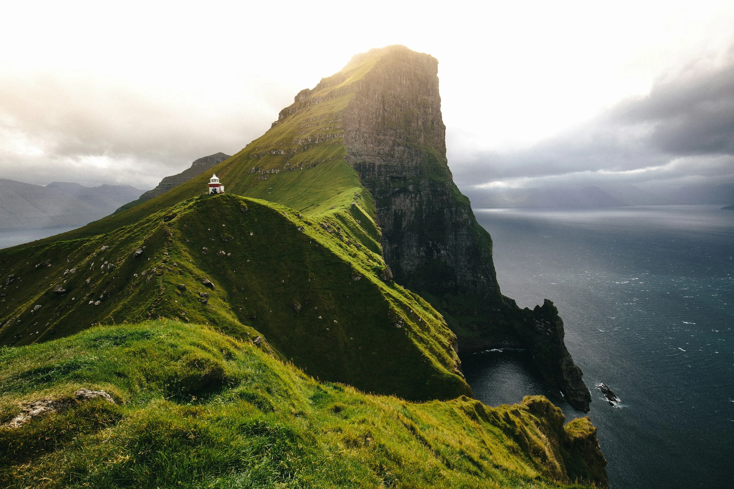
The Kallur lighthouse, perched on the northern tip of Kalsoy, offers a spectacular view over the ocean and the cliffs.
Tunnels under the sea
The Vágar tunnel (4.9 km) and the Eysturoy tunnel (11.2 km, with an undersea roundabout) connect the main islands to the capital.
A mild but changeable ocean climate
Thanks to the North Atlantic Current winters are mild (3 to 4 °C on average) and harbours stay ice-free; the light shifts all day.
Islands and villages
Tórshavn, Vágar, Kalsoy: where to start
The main islands are linked by tunnels, bridges and causeways, so you can radiate out from Vágar or Tórshavn without chartering a boat.
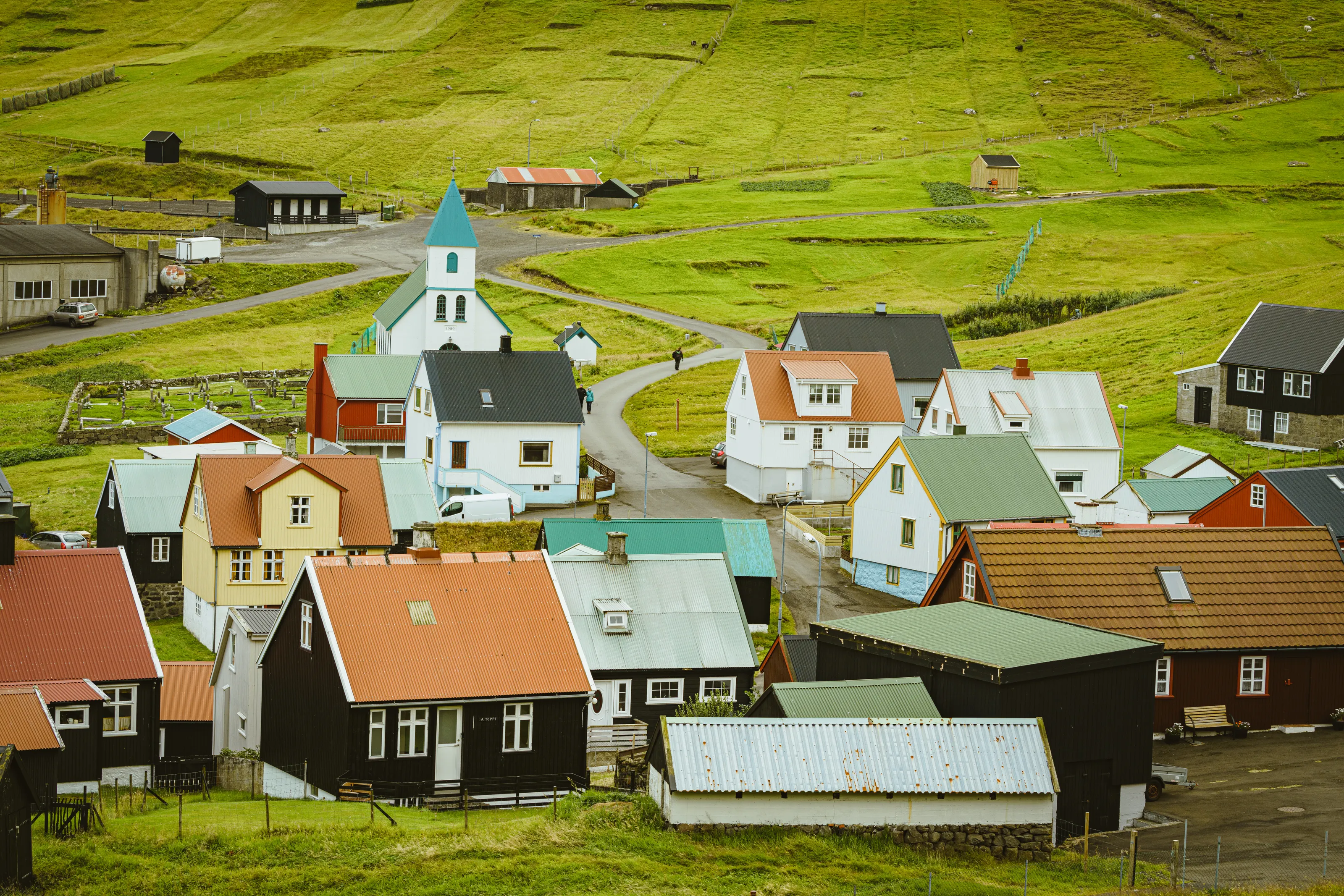
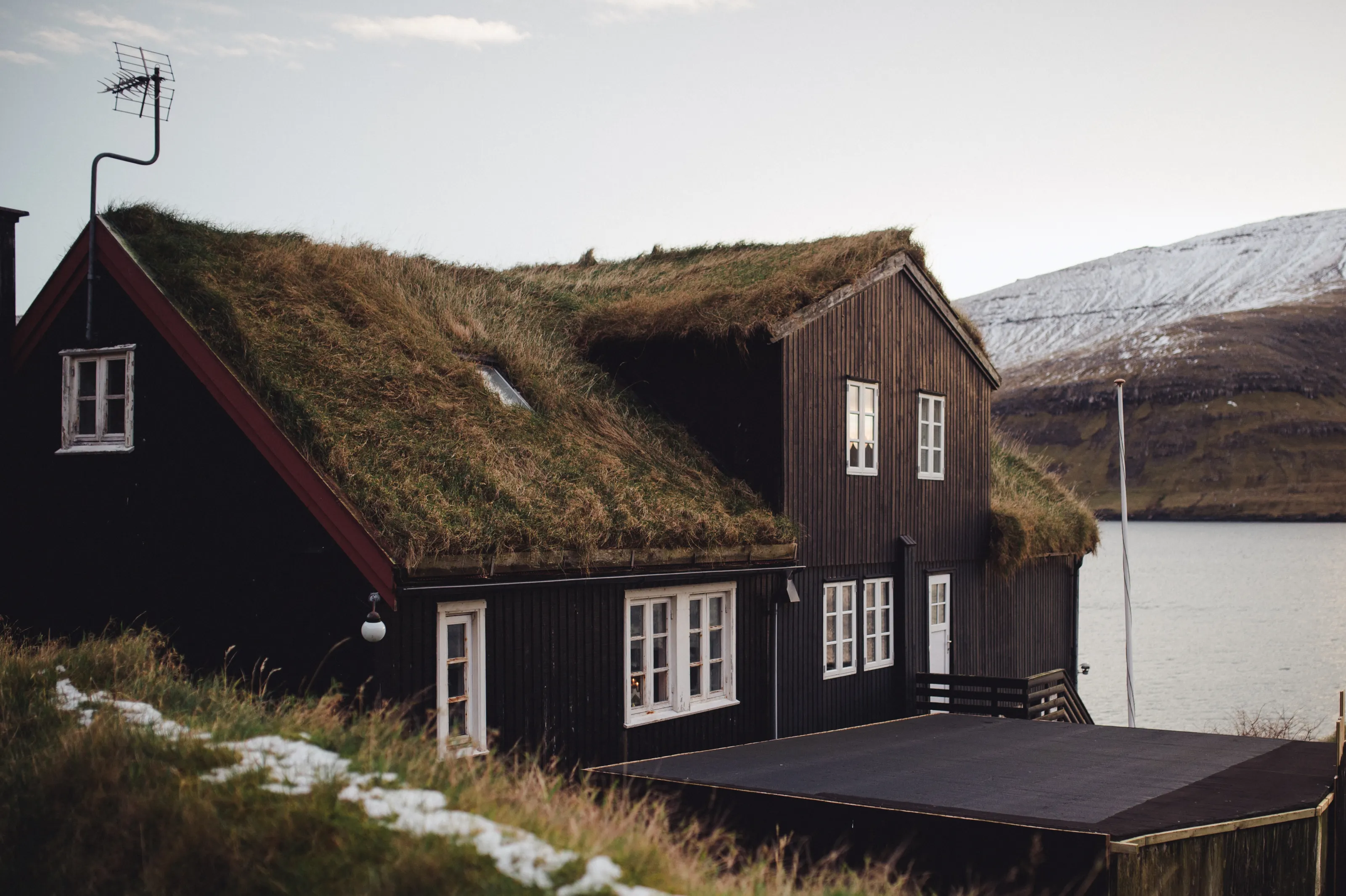
Tórshavn. The capital, on the east coast of Streymoy, is a working harbour and the political and cultural centre of the archipelago. Tinganes, where the Norse held their assembly, overlooks the old quarter of small turf-roofed houses. With only about 840 hours of sunshine a year it is the least sunny city in the world according to English Wikipedia, so pack a rain jacket.
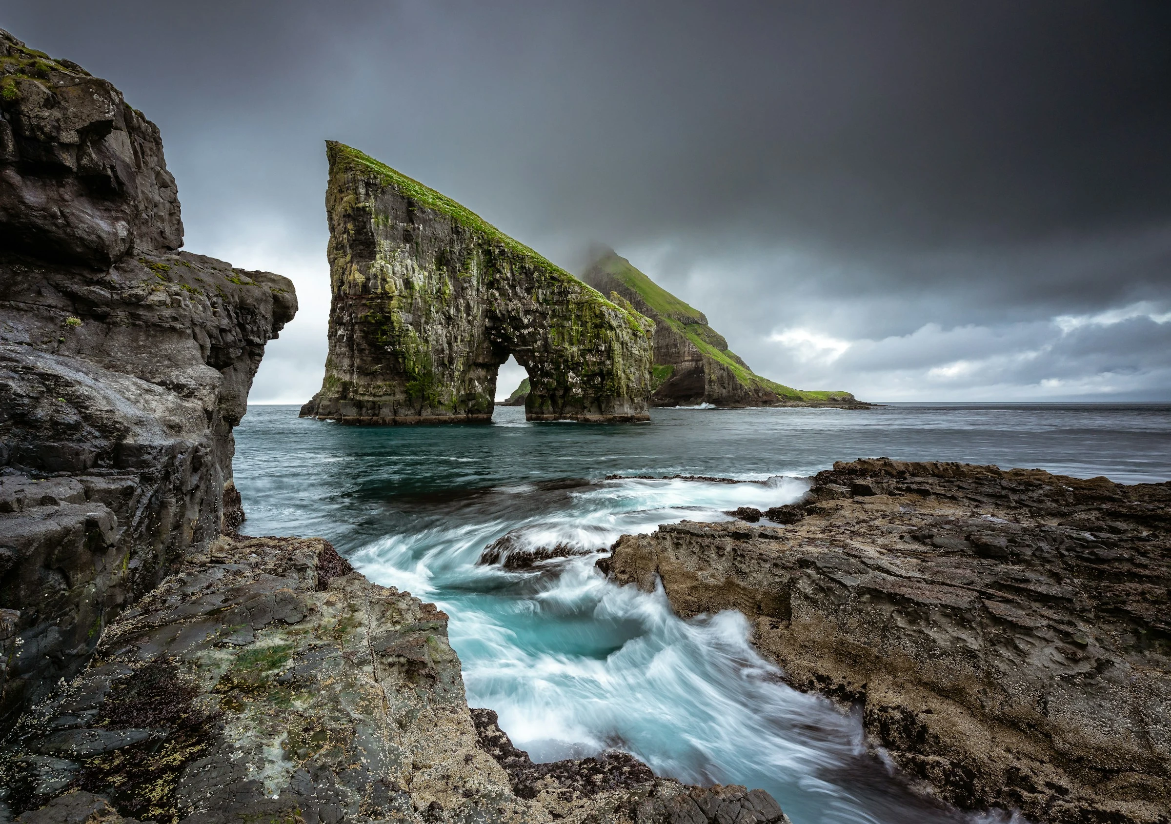
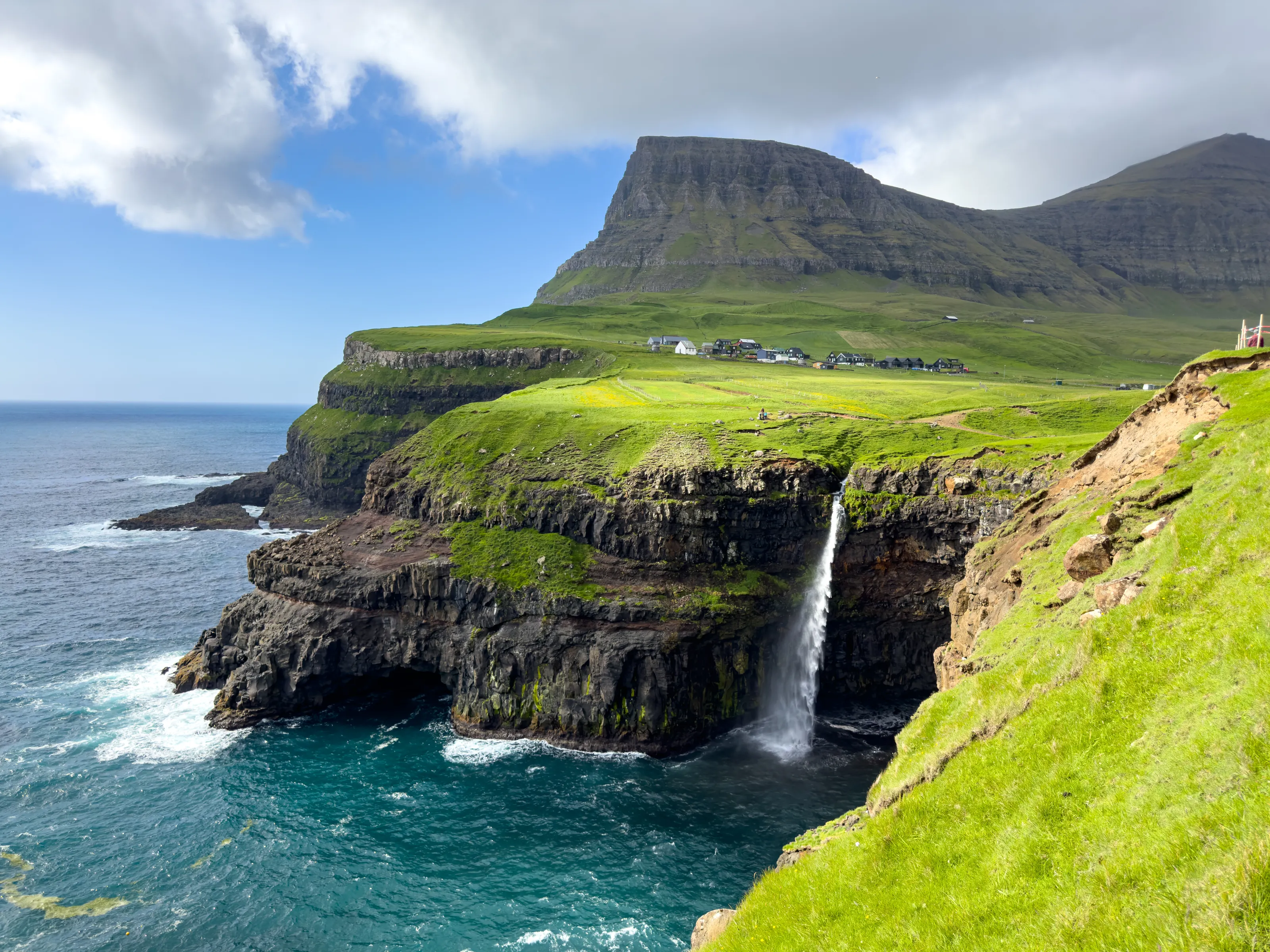
Vágar and Gásadalur. Vágar is home to the airport. On the west side, the village of Gásadalur (valley of the geese) and its Múlafossur waterfall face the island of Mykines. Until 2003 the village could only be reached on foot or by helicopter; a tunnel opened it up.
Kalsoy and the Kallur lighthouse. The narrow island of Kalsoy has four tiny settlements and unlit tunnels, so bring a torch. A trail leads from Trøllanes to the Kallur lighthouse at the northern end, with views of the cliffs and the open Atlantic.
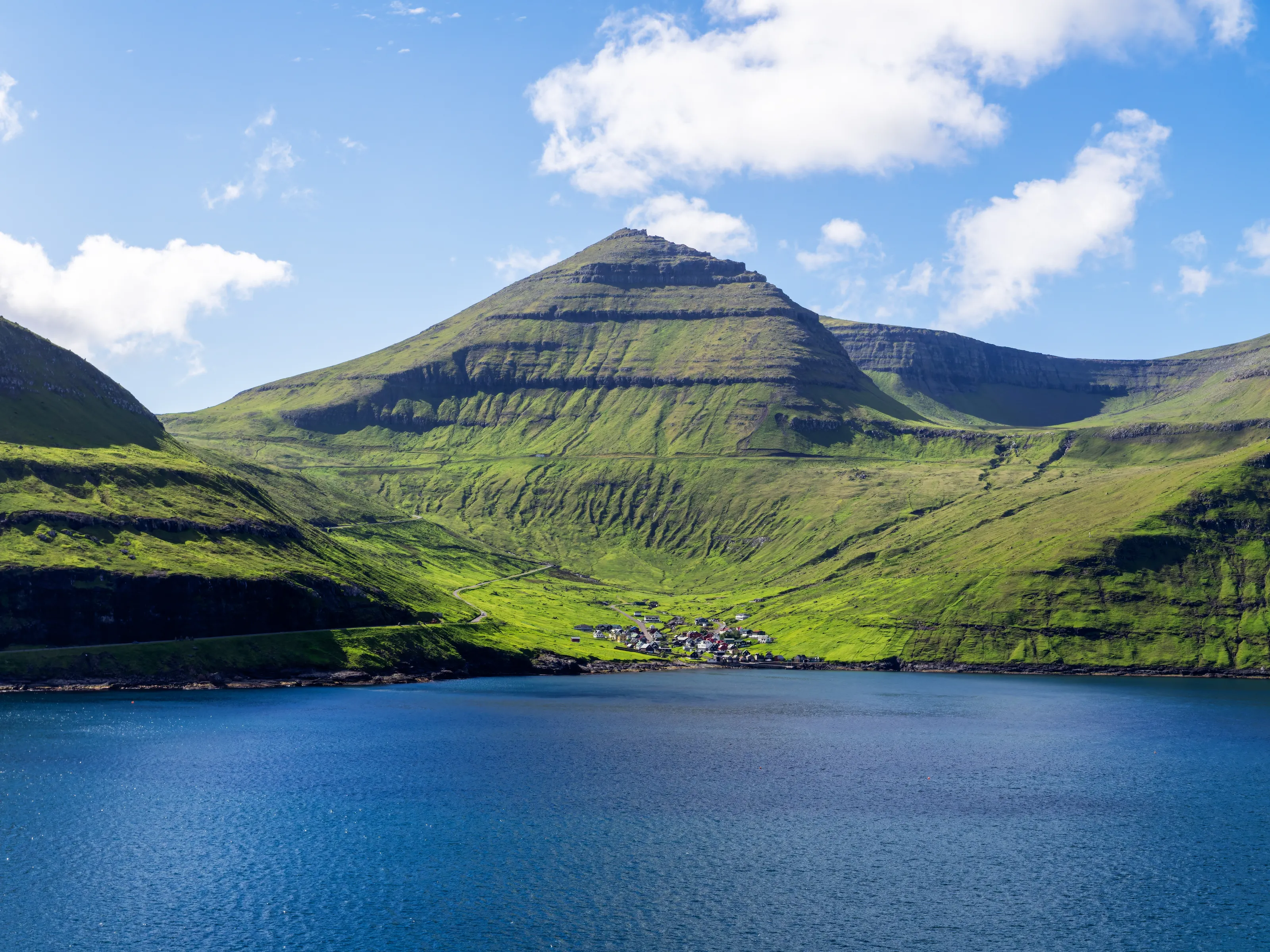
Eysturoy, Slættaratindur and Kirkjubøur. In northern Eysturoy, Slættaratindur (880 m) is the highest peak and takes about four hours to climb. Near Tórshavn, Kirkjubøur keeps St Olaf's church and the ruins of the Magnus Cathedral. Also worth a stop: Saksun, Gjógv and the Vestmanna bird cliffs.
Eating and drinking
Lamb, fish and drying sheds: the food of the archipelago
Faroese cooking rests on mutton, fish and potatoes. Try skerpikjøt, wind-dried mutton aged in a drying shed called a hjallur, ræst kjøt (semi-dried mutton), ræstur fiskur (matured fish) and fresh fish. Two breweries make local beer: Föroya Bjór since 1888 and Okkara Bryggjarí since 2010. Check restaurant opening times before you go.
Getting around
Tunnels, buses, ferries and helicopters: no trains
From Vágar to Tórshavn it is about 47 km by road and an hour by bus, through the 4.9 km Vágar undersea tunnel. The Eysturoy tunnel, opened in late 2020, roughly halved the journey to Klaksvík. Strandfaraskip Landsins runs the public buses and ferries, and Atlantic Airways serves some islands by helicopter. The Smyril Line ferry links Tórshavn to Hirtshals in Denmark and to Seyðisfjörður in Iceland. The islands belong to the Kingdom of Denmark but are outside the European Union.
Before you go
An ocean climate: cool, windy and changeable
| Season | Climate | What to expect |
|---|---|---|
| December to February | Mild but dark winter, about 3 to 4 °C on average, frequent wind and rain | Possible storms, very short days |
| March to May | Gradual warming, fog and showers | Quiet season, some services still reduced |
| June to August | Cool summers, about 9.5 to 11 °C on average | Hiking, long days, the best time to travel |
| September to November | Wind and rain return, heavy precipitation on the summits | Golden landscapes, less predictable weather |
On entry rules: the Faroe Islands are not part of the Schengen area. Check the entry conditions with your own government, and check the weather before any hike.
Flying to the Faroe Islands
The Faroese airport tracked by SniperAir
Vágar (Faroe Islands)
The archipelago's only airport and the base of Atlantic Airways. About 47 km from Tórshavn by road through the Vágar tunnel; about an hour by bus.
FAQ
Frequently asked questions about the Faroe Islands
Which airport do I fly into for the Faroe Islands?
Vágar (FAE) is the archipelago's only airport. It is about 47 km from Tórshavn by road, with a bus ride of around an hour.
How do I find cheap flights to the Faroe Islands?
Services are limited and fares vary a lot by season. A SniperAir alert on Vágar tells you as soon as a price falls below your budget.
When is the best time to visit the Faroe Islands?
May to September, with the longest days and the most usable trails. Winters are mild but dark, wet and windy.
Are the Faroe Islands expensive?
Costs are fairly high, as in the Nordic countries, especially for accommodation and meals. Prices vary with the season.
Do I need a visa for the Faroe Islands?
The Faroe Islands are not part of the Schengen area even though they belong to the Kingdom of Denmark. Entry conditions depend on your nationality, so check with your own authorities before you travel.
How many days should I plan for the Faroe Islands?
Three to five days cover Vágar, Streymoy and Eysturoy; allow a week to add Kalsoy and the northern islands.
How can I be alerted when a flight to the Faroe Islands drops below my budget?
Create a SniperAir alert profile with your departure airport and Vágar (FAE) as the destination: we watch prices for you and notify you as soon as an opportunity matches your criteria.
Ready to track fares to the Faroe Islands?
Create an alert and let SniperAir do the rest.
Create my alert