
Travel to Namibia
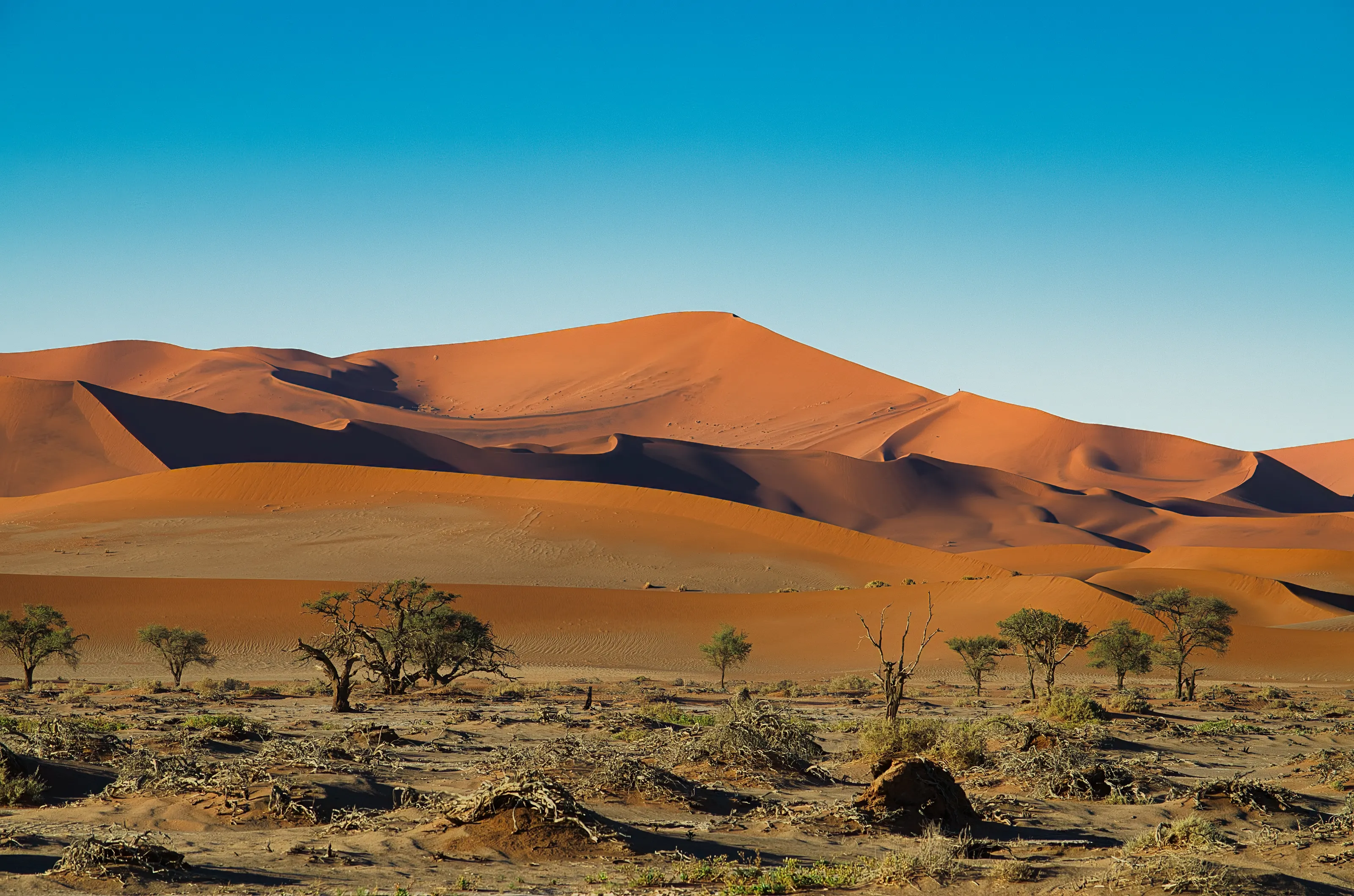
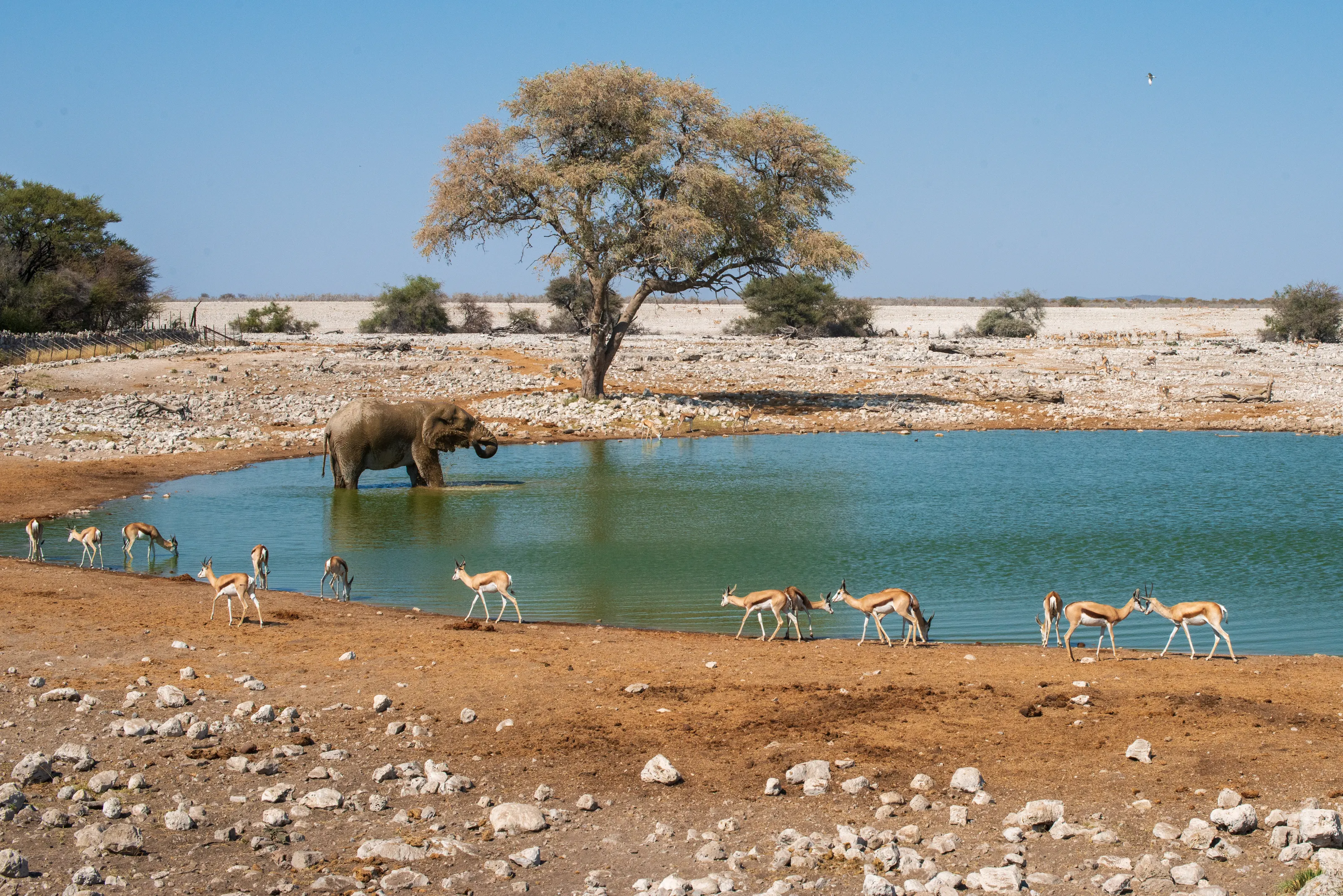
Towering orange dunes, waterholes where elephants and springbok take turns to drink, a canyon that runs out of sight and an Atlantic coast swallowed by fog: Namibia is one of the least crowded countries on earth, and the landscapes show it. Here is what to know before you start looking for cheap flights to Namibia.
Namibia in numbers
Capital
Windhoek
Population
About 3M
Area
~825,000 km²
Currency
Namibian dollar
Language
English
UNESCO sites
2
Continent
Africa
Time zone
UTC+2
Airports covered
3
Why visit Namibia
A country where you can drive for hours without seeing another car
The world's oldest desert
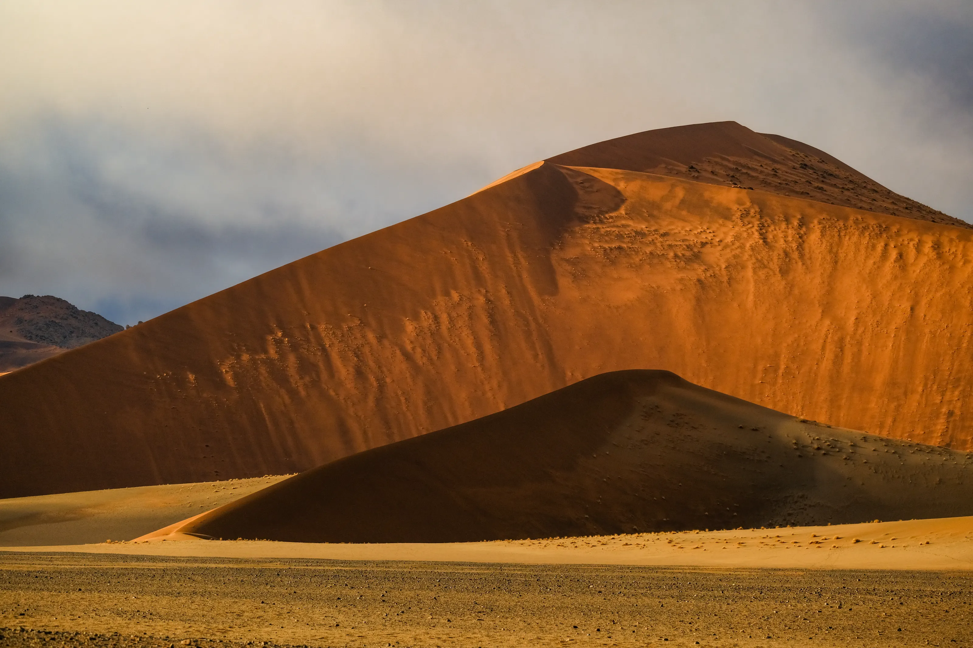
The Namib runs along the Atlantic for roughly 2,000 km and gave the country its name. At Sossusvlei the red dunes rise hundreds of metres and shift colour from sunrise to sunset.
Etosha, safari on open ground
Around a vast white salt pan, Etosha's waterholes draw elephants, lions, giraffes and rhinos. Sparse vegetation makes wildlife easy to spot, especially in the dry season.
A coast wrapped in fog
The cold Benguela current smothers the shore in fog on more than 180 days a year. The result is the Skeleton Coast, with more than a thousand shipwrecks, and seaside towns such as Swakopmund.
German and African heritage
A former German colony, Namibia kept Bavarian-style facades, bakeries and about 30,000 German speakers. Alongside them live Himba, Herero, San and Ovambo cultures, especially in the north and west.
Where to go
Sossusvlei, Etosha, Fish River Canyon and the Atlantic coast
Most trips are loops from Windhoek, usually in a rental car with long driving days. For a first visit, plan on the Namib dunes, Etosha and the coast, then add the south if you have time.
Sossusvlei and Deadvlei in the Namib
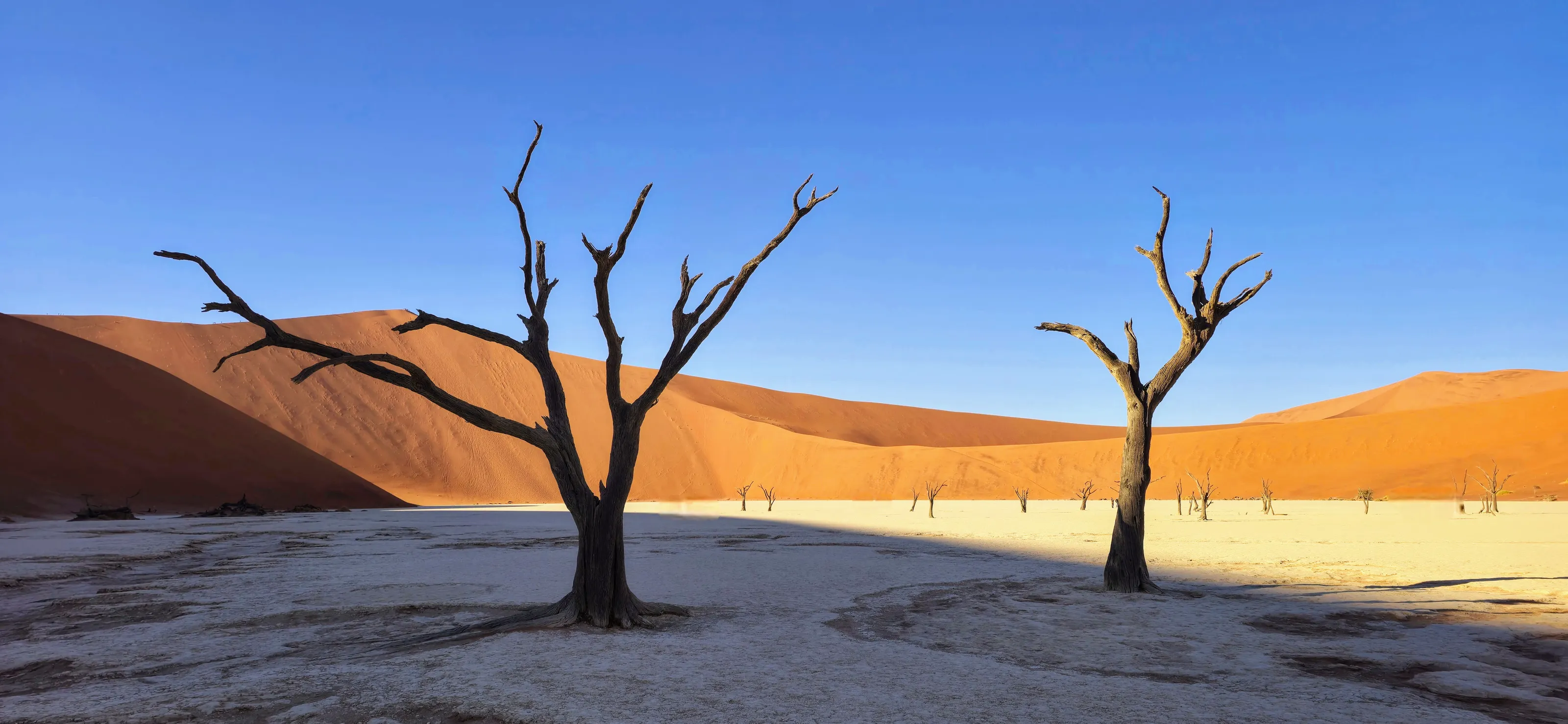
Sossusvlei, in Namib-Naukluft National Park, is the image most people keep of Namibia: a clay pan ringed by red dunes. Visitors leave before dawn to climb a dune at sunrise, before the heat sets in. Close by, Deadvlei shows blackened dead trees standing on cracked white clay, a scene with no equivalent. The whole Namib Sand Sea is a UNESCO World Heritage Site.
Etosha, the great wildlife park
Etosha National Park is built around its salt pan and waterholes, which you watch from your car or from floodlit viewing areas at night. Okaukuejo camp, in the west, is known for a waterhole where rhinos come to drink after dark. In the dry season, from May to October, animals gather around water and game drives are easier.
Fish River Canyon and the south
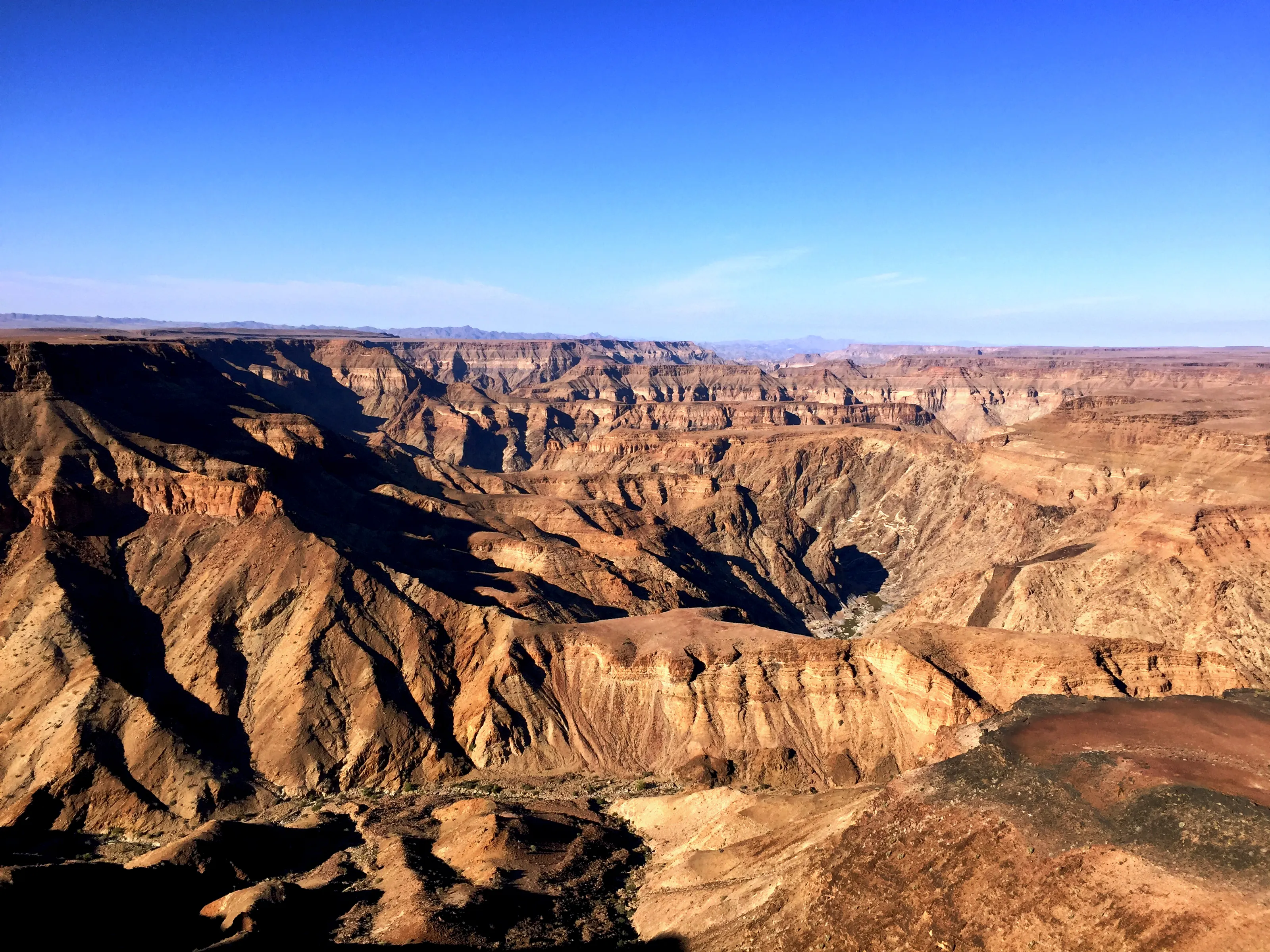
In the south, Fish River Canyon opens onto tens of kilometres of ochre cliffs and counts among the biggest canyons in the world. Hikers can tackle the multi-day trail in the cool season, but most visitors settle for the viewpoints at sunset. Further west, Luderitz and the ghost town of Kolmanskop, half buried in sand, recall the diamond rush.
Swakopmund, Walvis Bay and the Skeleton Coast
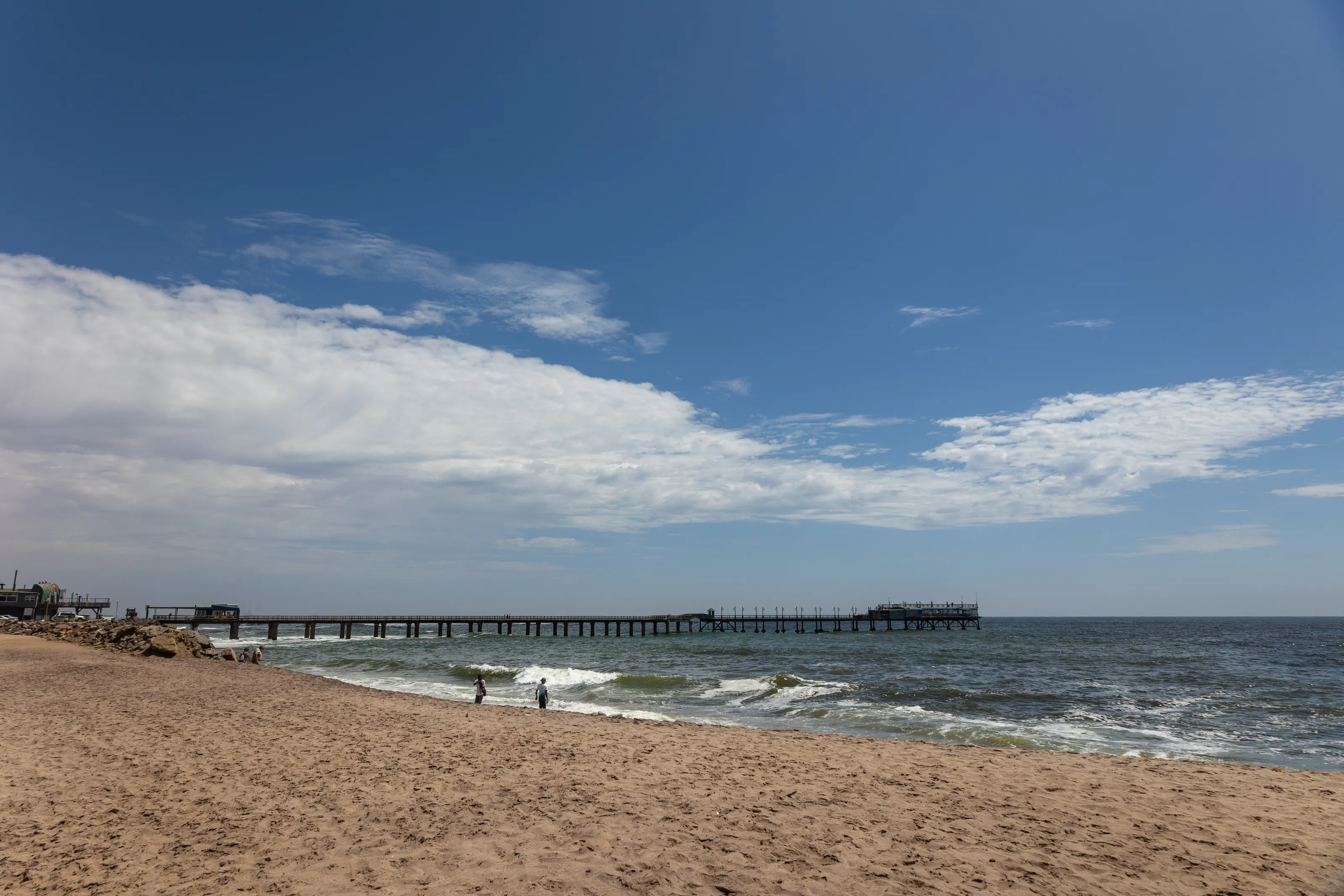
Swakopmund, the country's leisure capital, mixes German colonial architecture, an Atlantic pier and desert activities: sandboarding, quad biking, flights over the dunes. At Walvis Bay the lagoon hosts flamingos and pelicans, and boat trips get you close to seals and dolphins. Further north the Skeleton Coast is a strip of fog, sand and wrecks.
Windhoek, Damaraland and Kaokoland
Windhoek, at 1,650 m above sea level, is where most trips start and end, with markets, breweries and bakeries that echo its German past. In the north-west, Damaraland hides the rock engravings of Twyfelfontein, a UNESCO site, and Kaokoland is home to the Himba and desert-adapted elephants. To add another stop in southern Africa, see our South Africa page.
Before you go
Dry country, cold nights and coastal fog
| Region | Climate | Best time to visit |
|---|---|---|
| Namib Desert (Sossusvlei) | Very dry. Hot days in the southern summer (October to April), nights that can approach freezing in winter. | May to September for cooler air and soft light |
| Etosha and the north | Rainy season from October-November to April, peaking February to April. Tall grass and scattered wildlife at that time. | May to October, when waterholes concentrate wildlife |
| Coast (Swakopmund, Walvis Bay) | Cool and misty all year, roughly 10 to 30 C depending on the season. Fog is frequent from May to October. | All year, with a windproof jacket |
| Windhoek and central plateau | At 1,650 m: mild days, cool winter nights, thunderstorms in summer. | May to October |
The southern summer is the rainy season, and inland heat can top 40 C. Winter nights can be very cold, so pack warm layers for early-morning game drives.
Getting around
Rental cars, gravel roads and bush flights
Namibia is best seen by rental car, driving on the left: distances are huge, traffic is almost non-existent and many roads are gravel. A high-clearance car usually does the job, and a 4x4 helps on some tracks or after rain. On gravel, slow down, pull left when a vehicle overtakes you and always carry spare water and fuel.
To save time, small airlines and charter flights link remote camps, often from Eros Airport in Windhoek. Otherwise guided tours with a driver let you enjoy the scenery without driving. The Namibian dollar is tied to the South African rand, which is also accepted, but euros and US dollars are not used in shops.
Food and culture
Braai, game meat and German-style bakes
Namibian cooking revolves around the braai, the wood-fire barbecue that brings families together. Oryx, kudu or ostrich go on the grill, and meat is dried into biltong. Kapana, grilled meat sold on the street, is a staple of northern markets.
German heritage shows in Windhoek and Swakopmund: locally brewed beer, strudel, bakery cakes and cafes. On the coast, Walvis Bay oysters are a speciality, best enjoyed facing the Atlantic.
Flying to Namibia
Namibian airports covered by SniperAir
Hosea Kutako International (Windhoek)
The country's international gateway, about 45 km east of Windhoek and roughly 45 minutes by road. It is the starting point for most trips to Sossusvlei, Etosha and the coast.
Walvis Bay
On the Atlantic coast, under an hour by road from Swakopmund. Handy for starting with the coast, the Namib Desert and the dunes of Sandwich Harbour.
Ondangwa (Etosha)
A regional airport in the north, useful for reaching Etosha by road or exploring Owambo country. Allow several hours' drive depending on which park gate you choose.
FAQ
Frequently asked questions about Namibia
Which airport should I fly into for Namibia?
Windhoek (WDH) is the main international airport and the most practical for a road trip. Walvis Bay (WVB) lets you start on the coast, and Ondangwa (OND) serves the north, near Etosha.
When is the best time to visit Namibia?
May to October is the dry season: clear skies, wildlife gathered around Etosha's waterholes and bearable temperatures for the dunes. The southern summer is hotter and wetter, but landscapes are greener and prices are often lower.
Is Namibia expensive to visit?
The budget depends mostly on car hire, distances covered and park accommodation. Flights, fuel and lodges weigh most. Watching flight prices and travelling outside peak periods helps a lot.
Do I need a visa to travel to Namibia?
Entry rules depend on your nationality and change over time. Check the official government site and your own government's travel advice before booking. A passport valid for several months beyond arrival is usually required.
How long should I spend in Namibia?
Plan at least ten to fifteen days for a trip combining Sossusvlei, the coast and Etosha. Distances are long: fewer stops and more time in each place works better.
Can I drive myself in Namibia?
Yes, it is the most common way to travel, provided you are comfortable driving on the left on gravel. Check road conditions, avoid driving at night and refuel whenever you can.
How do I get alerted when flights to Namibia drop in price?
Create a SniperAir alert profile with your departure airport and Windhoek, Walvis Bay or Ondangwa as the destination. We track prices and notify you when an opportunity matches. See how it works.
Ready to track prices to Namibia?
Create an alert and let SniperAir do the rest.
Create my alert