
Cheap flights to Tulum
Set your departure airport and maximum budget: SniperAir tracks prices to Tulum and alerts you the moment a deal matching your criteria appears.
Quick summary
Country
Mexico
Continent
North America
Airport
TQO
Currency
Mexican peso
Time zone
UTC-5
Deals already spotted to Tulum
Real flight examples detected by SniperAir, with their reference price.
Loading examples…
Why track Tulum with SniperAir
You do not need to compare prices every day
Choose your departure
Enter your departure airport and your maximum budget for a flight to Tulum (TQO).
SniperAir watches
Our systems continuously compare new fares with the real price history of the route. SniperAir tracks prices and alerts you: it does not sell or book tickets.
You get an alert
As soon as a fare matches your criteria, you are notified, without having searched anything yourself.
Airport and getting into town
Tulum's new airport, or Cancún and the coast road
Tulum International (Felipe Carrillo Puerto)
Tulum International Airport, opened in December 2023, lies inland, about 45 minutes by car from the town of Tulum. It is served by Mexican carriers (Mexico City, Monterrey, Guadalajara, Tijuana) and by international flights, notably from the United States, Canada, Colombia, Guatemala and, according to sources, Germany; check current connections before booking. A Tren Maya station on the airport access road links Cancún, Chichén Itzá, Mérida, Campeche, Palenque and Chetumal; there are also buses and taxis, the latter costing more than the bus.
Cancún International
Many travellers still land in Cancún (CUN), which has far more direct flights, notably from Europe. From there, allow about 1.5 to 2 hours to Tulum along Federal Highway 307: about 1.5 to 1.75 hours by taxi depending on traffic, about 2 hours by bus, with shared shuttles from the airport. The Tren Maya also links Cancún airport with Tulum airport in about 1.5 hours. In short: TQO shortens the final leg but has fewer connections; CUN offers more choice of flights and fares at the cost of a longer road trip. Compare both before choosing.
Times are indicative, taken from Wikivoyage (EN, ES, DE, FR); not all sources give the distance in kilometres. Air and rail connections are changing quickly since TQO opened: check them before booking.
The Maya city on the cliff
A fortress facing the Caribbean
The archaeological site
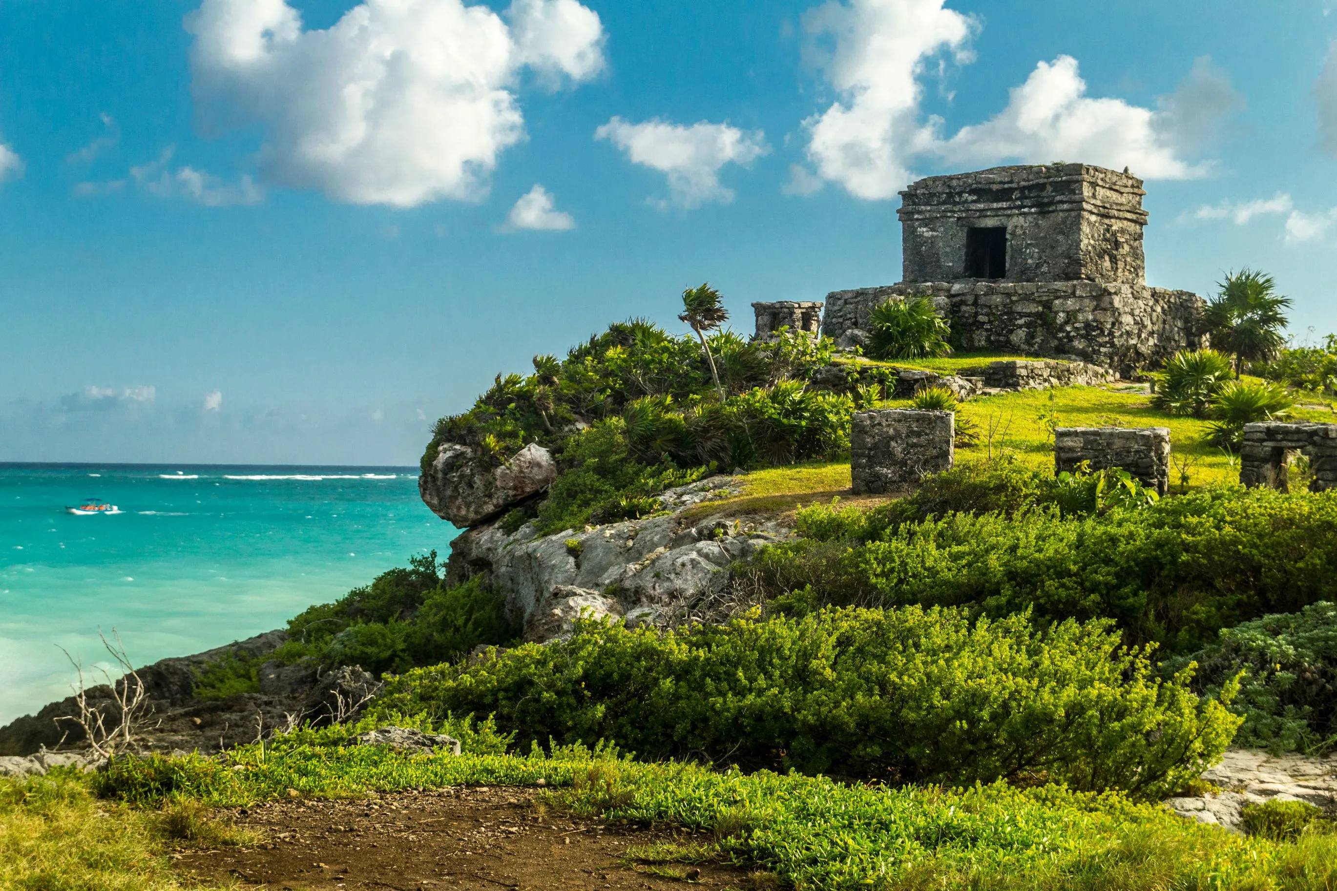
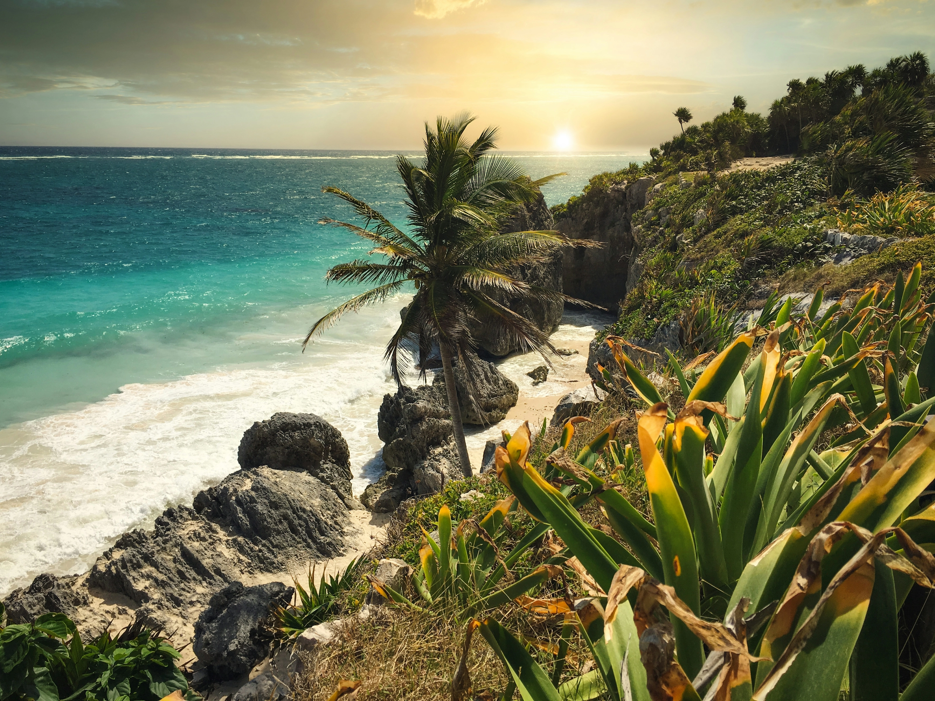
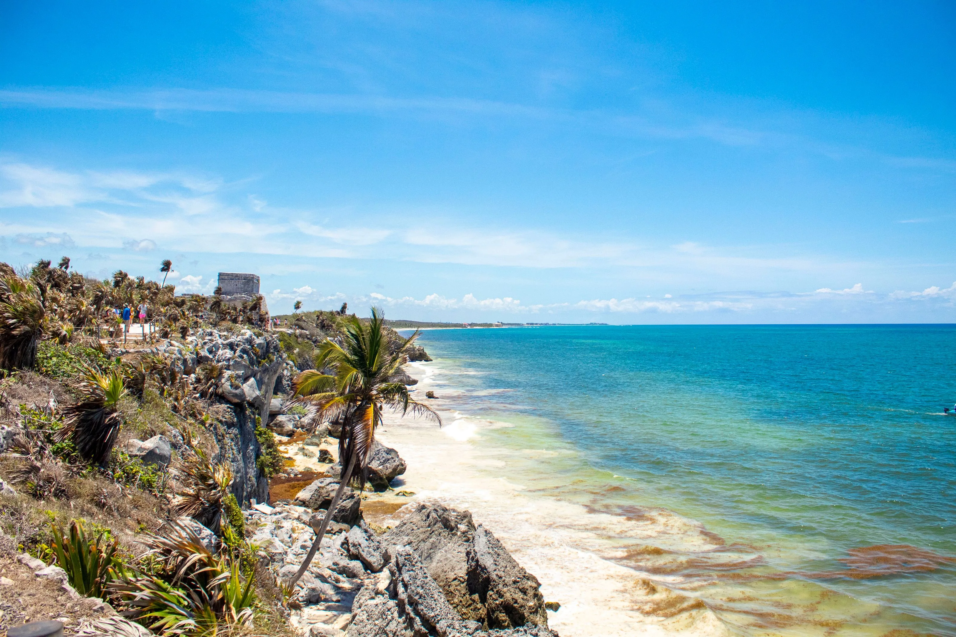
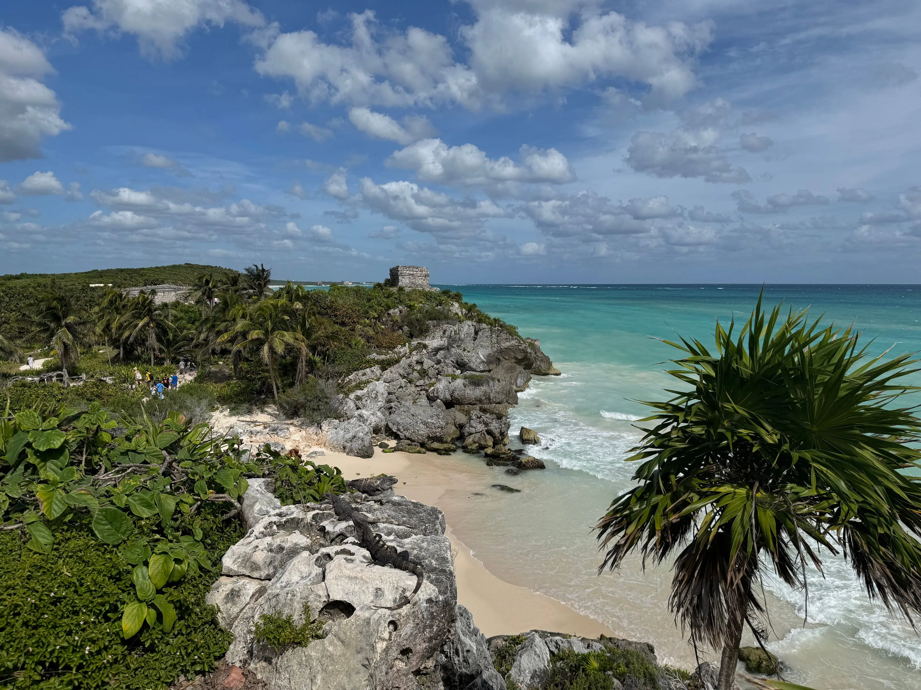
The ruins of Tulum, a fortified Maya city, stand on cliffs some twelve metres high above the Caribbean Sea. The city prospered mainly from the 13th to the 15th century; it served as a port for the great city of Cobá and remained occupied until the Spanish arrived. A wall about three metres high protected the administrative and religious centre, home to the Castillo, the Temple of the Frescoes and the Temple of the Descending God. Visitors cannot climb on or enter the structures.
The beach below the ruins
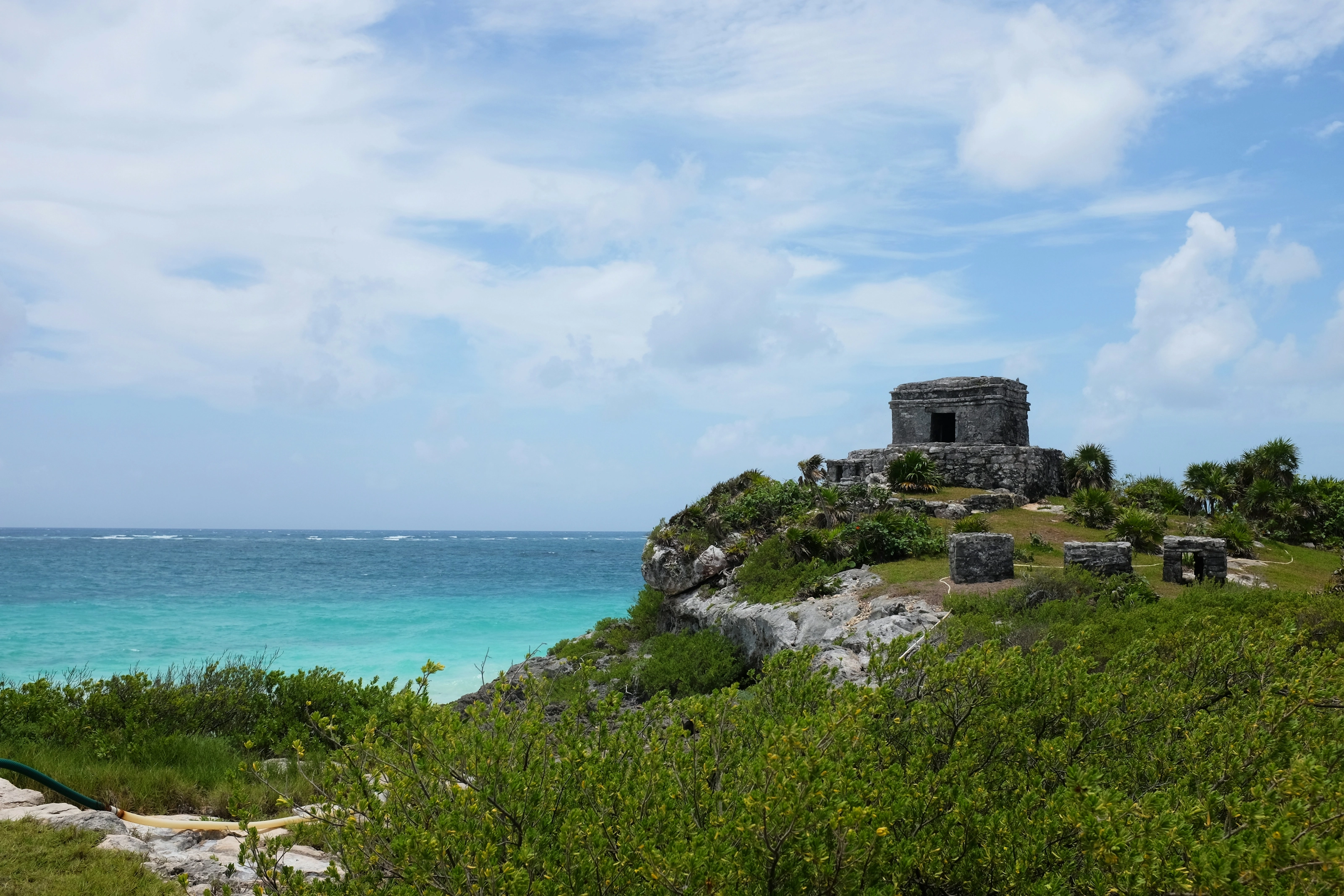
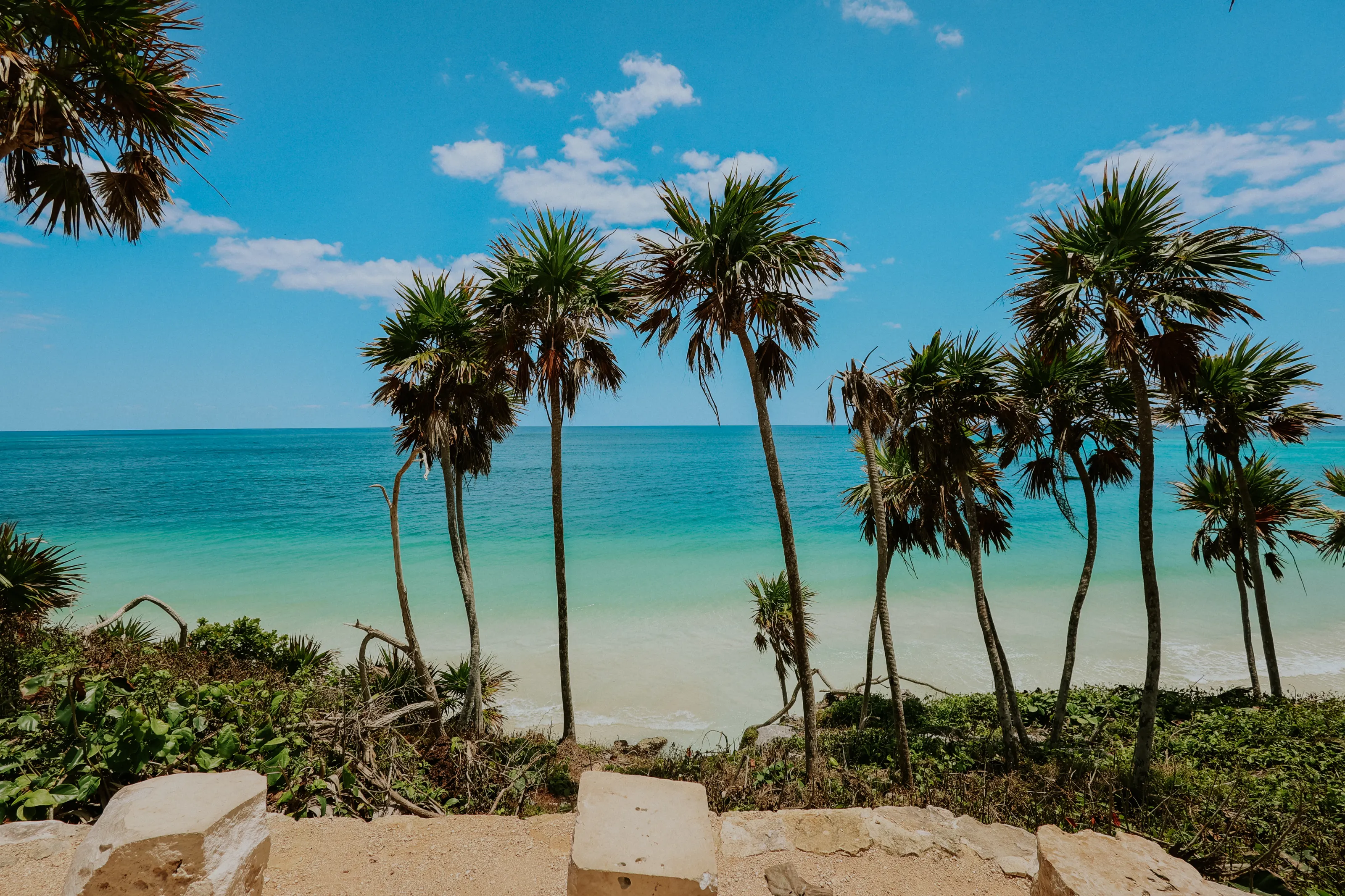
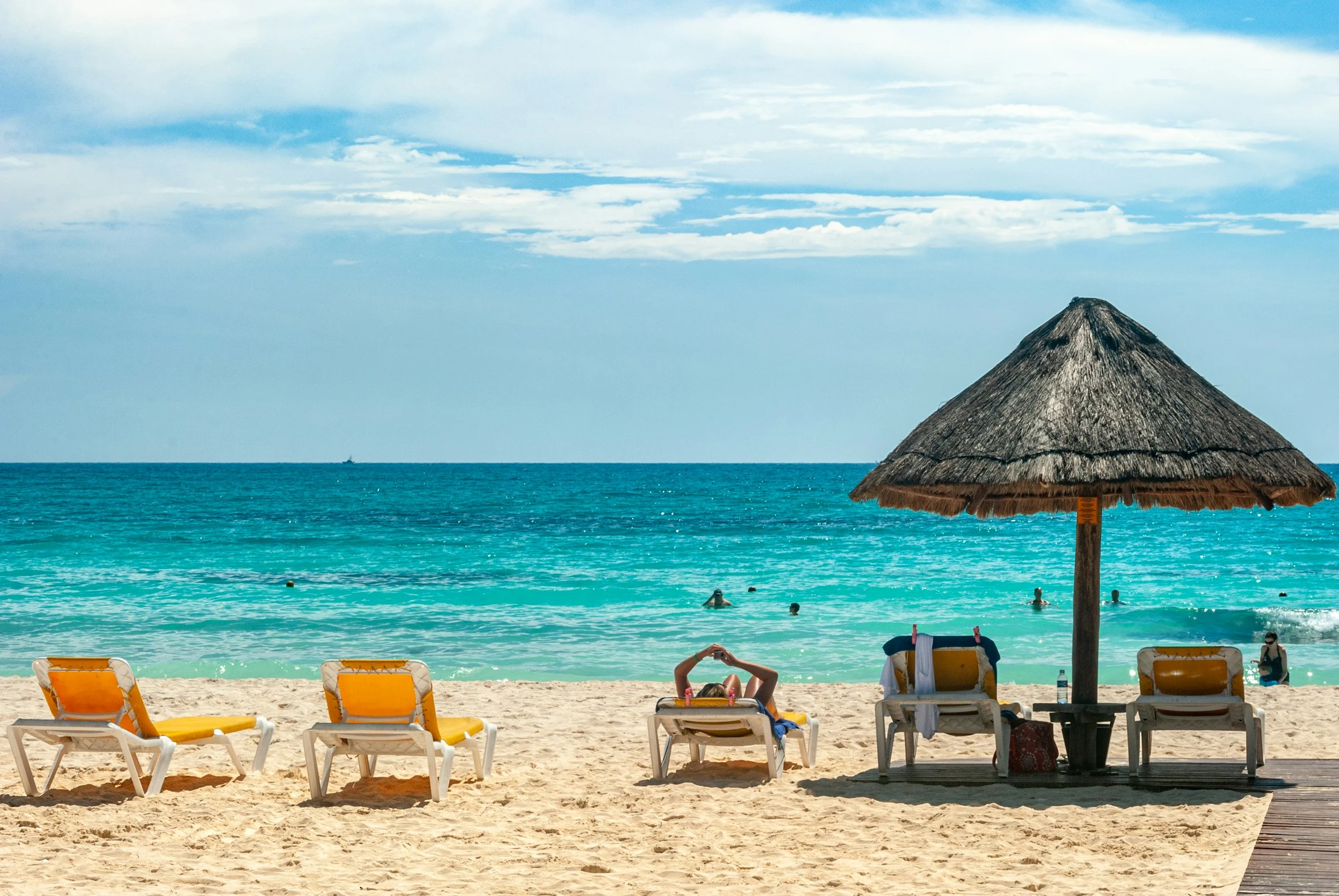
Below the site, small white-sand coves open between the rocks and palm trees lean over the sea; access to the beach directly beneath the main temple is restricted, but other public beaches line the coast further south and north. Towards sunset, the light on the cliff is especially beautiful.
Planning your visit
The site is compact but very busy: it is one of the most visited archaeological sites in Mexico. Tour groups arrive in mid-morning; it is better to come at opening time or late in the afternoon, with a hat, sunscreen and water, as shade is scarce. Entry involves several steps (national park, then site) and fees change: check them on the spot or on official sites.
Panorama
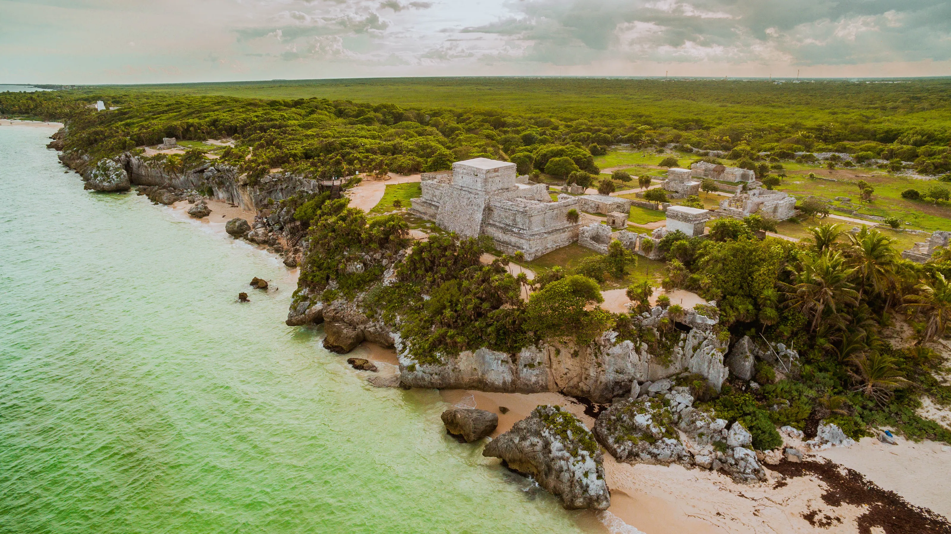
The site seen from the sky, between jungle and sea
Cenotes and nature
Clear cenote waters and the Sian Ka'an reserve
The cenotes
On the Yucatán Peninsula, rainwater seeps into a network of caves and tunnels; the points where they reach the surface are cenotes, often suitable for swimming, snorkelling and diving, with fairly cool fresh water (about 24 °C). Around Tulum you find, among others, Gran Cenote, Dos Ojos, Calavera, Cristal and Escondido, as well as Casa Cenote, near the sea. Each has its own hours, fees and rules: check before you go.
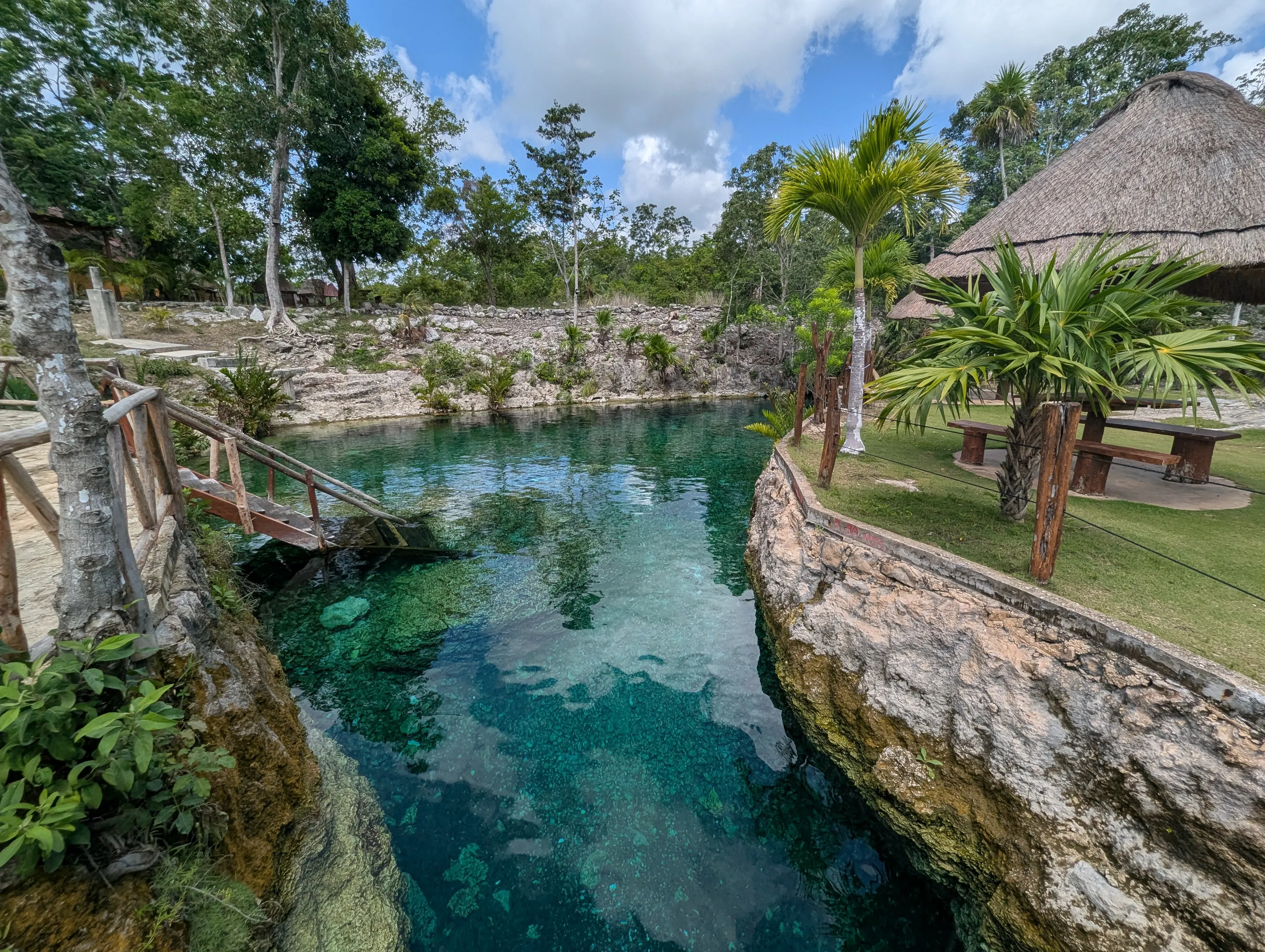
Sian Ka'an, Cobá and Muyil
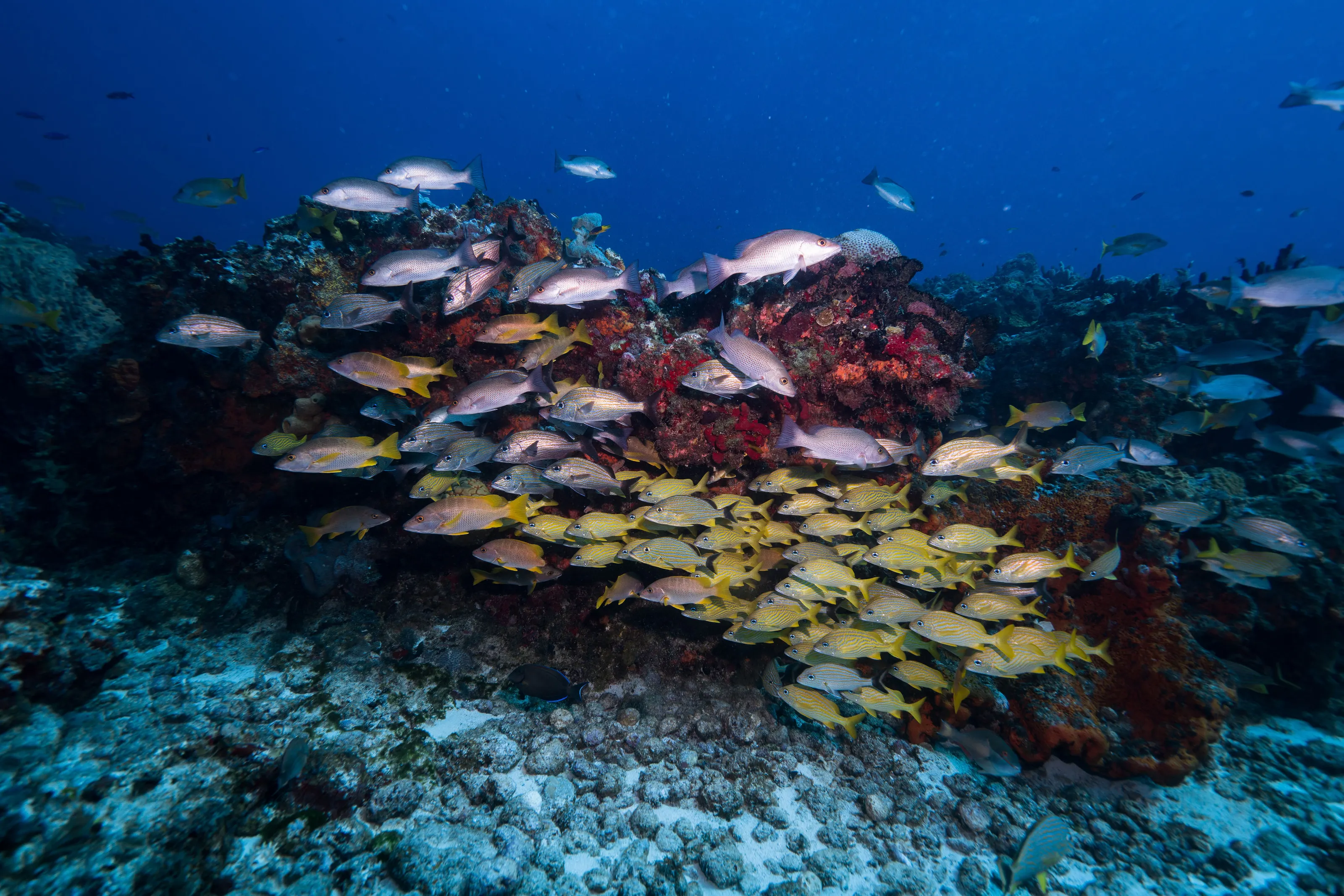
To the south, the Sian Ka'an biosphere reserve, a UNESCO site since 1987 and about 5,280 km², protects mangroves, lagoons and reefs; fishermen and guides offer boat or kayak trips. Nearby, the Muyil site adjoins the reserve. About 50 km inland, Cobá, one of the largest Maya cities, has the tallest pyramid in Yucatán, Nohoch Mul.
Museums and culture
Maya sites, contemporary art and street culture
A national park around the ruins
The archaeological site lies within Tulum National Park, the only protected terrestrial natural area in the Cancún-Tulum corridor. The Castillo, the Temple of the Frescoes (whose interior walls retain traces of paintings) and the Temple of the Wind, on a promontory, are among the most noted buildings.
Museums and art
The hotel zone has the Sfer Ik museum-restaurant, a singular piece of architecture that evokes the jungle, and an immersive museum devoted to Frida Kahlo near the site; the village's lanes are covered with street art. To dig deeper into Maya history, head to Cobá, Muyil or, farther away, Chichén Itzá.
A Tulum with several faces
The name Tulum means wall or fortress; the city was also called Zamá. Today the name covers three areas: the village, along Highway 307, the beach and hotel zone, and the archaeological site. Long a quiet spot, Tulum has grown strongly, with more traffic and more visitors.
Food and drink
Village tacos, Yucatecan food and beach tables
In the village
The village has taquerías, markets, cafés and restaurants at gentler prices, with Yucatecan cooking, seafood and fresh fish; it also has plenty of vegetarian and vegan places. If you stay on the beach, it makes sense to stock up in the village.
On the coast
The beach zone has more upscale restaurants and a well-known nightlife, especially in the southern part; most places open late in the day and are noticeably pricier. Ceviches, fish tacos and grilled fish are the stars.
To drink
Coconut water and fresh fruit juices are everywhere; for alcohol, margaritas, beers and mezcal. Drink bottled water and be careful with ice at makeshift stands.
Getting around
Taxis, colectivos, bikes, buses and the Tren Maya
Between the village, the beach and the ruins
The village, the beach and the ruins are a few kilometres apart, too far to walk: about 3 to 4 km separate the village from the beach and the site. Taxis hold something close to a monopoly on trips to the beach; agree the fare before getting in and pay in pesos. Colectivos (shared vans) leave the village for the beach and the site, and bikes are easy to rent, but the road is hot and traffic is heavy.
Towards the cenotes and the region
A rental car makes it easier to visit the cenotes and more distant sites. First- and second-class buses, as well as combis, serve the coast towards Playa del Carmen, Cancún and the south, with a last late service: check the return time. At the site, park in the official car parks.
Tren Maya and the airport
The Tren Maya serves Tulum airport and a station north of the town, and lets you reach Cancún, Playa del Carmen, Bacalar or Chetumal. Buses to the airport are cheaper and more comfortable than a taxi.
Budget
A medium to high budget, especially on the beach side
Tulum has grown quickly, with price increases, and its price level is clearly above that of inland Mexico. The village remains the most affordable (cantinas, taquerías, small guesthouses), whereas the beach zone, its boutique hotels and its restaurants charge high prices. Compared with Europe, village meals and shared transport cost less, while beach accommodation and hotel-zone tables can come close; we give no figures, because prices vary with the season.
To keep costs down, stay in the village and reach the beach and ruins by colectivo, eat at small places, and carry cash in pesos for taxis and some cenotes. Prices rise in high season and during holidays.
The plane ticket remains the most variable part of a trip. SniperAir tracks fares to TQO and compares them with the route's price history.
When to go
When to go to Tulum?
Winter
The driest and busiest season: good weather for the ruins, the beach and the cenotes, but more people and higher prices.
Spring
Rising heat; sargassum can wash ashore on the beaches, with strong variation from year to year.
Summer
Wet season: heat, storms and hurricane risk from June to October; fewer people and often lower prices.
Autumn
End of the rainy and hurricane season, then a gradual return of dry weather towards the high season.
The climate is tropical, with a marked dry season. By day the heat is strong all year, and shade is scarce at the archaeological site: visit early, with a hat and water. Cenotes offer cool water, about 24 °C, all year. Mosquitoes are common around cenotes and in the jungle.
The Caribbean coast lies on the path of Atlantic hurricanes, roughly from June to November: follow official bulletins and consider flexible cancellation cover. Sargassum strandings have affected the Mexican Caribbean shoreline since 2014, with large differences from one year to the next, mostly in spring and summer: check monitoring bulletins before you go, and keep in mind that the sea stays turquoise on days without seaweed.
By length of stay
What to do in Tulum depending on how long you stay
The essentials
The ruins at opening time, a beach, a cenote and an evening in the village.
Nature
Several cenotes, a trip to Sian Ka'an and some relaxation on the coast.
The Maya region
Cobá, Muyil or Chichén Itzá, and a stop in Playa del Carmen or Bacalar.
In pictures
Tulum in pictures
You might also like
Similar destinations
FAQ
Frequently asked questions about flights to Tulum
Which airport should I choose for Tulum: TQO or Cancún (CUN)?
TQO, opened in December 2023, is about 45 minutes by car from the town and has a Tren Maya station, but has fewer flights. CUN offers more connections, notably from Europe, with about 1.5 to 2 hours by road to Tulum. Compare prices and journey times.
What is the best time to visit Tulum?
Winter, which is drier, is the most pleasant but also the busiest time. Summer is humid, with a hurricane risk from June to October; in spring and summer, sargassum can wash ashore on the beaches.
When should I visit the Tulum ruins?
At opening time, before tour groups arrive in mid-morning, or in the late afternoon. The site is very busy and shade is scarce; bring water, a hat and sunscreen, and do not climb on the structures.
Is Tulum expensive?
The price level is medium to high, clearly more than inland Mexico, especially in the beach zone. The village is more affordable. Prices vary by season.
How do I get around Tulum?
Between the village, the beach and the ruins (3 to 4 km), take a taxi (agree the fare), a colectivo or a bike. A rental car makes the cenotes easier; buses and the Tren Maya link neighbouring towns.
What is there to see around Tulum?
The cenotes (Gran Cenote, Dos Ojos, Calavera), the Sian Ka'an reserve, Muyil and Cobá, about 50 km away. Respect the rules of sites and cenotes. For safety, consult the official travel advice of your country of residence before you leave.
How much does a flight to Tulum usually cost?
The price depends mainly on your departure city, the period and the booking date. The "opportunities" section above shows real examples of prices already detected by SniperAir for this destination.
How do I get alerted when a flight to Tulum drops below my budget?
Create an alert profile with your departure airport, Tulum as the destination and your maximum budget. You are notified automatically as soon as a matching fare is detected.
Ready to head to Tulum?
Set your budget and let SniperAir monitor fares for you.
Create my alert