
Cheap flights to Bariloche
Set your departure airport and maximum budget: SniperAir tracks prices to Bariloche and alerts you the moment a deal matching your criteria appears.
Quick summary
Country
Argentina
Continent
South America
Airport
BRC
Currency
Argentine peso
Time zone
UTC-3
Deals already spotted to Bariloche
Real flight examples detected by SniperAir, with their reference price.
Loading examples…
Why track Bariloche with SniperAir
You do not need to compare prices every day
Choose your departure
Enter your departure airport and your maximum budget for a flight to Bariloche (BRC).
SniperAir keeps watch
Our systems continuously compare new prices with the real history of the route. SniperAir monitors prices and alerts you: it does not sell or book tickets.
You receive an alert
As soon as a price matches your criteria, you are notified, without having searched for anything yourself.
Airport and transfer
An airport about 13 km east of the centre
Teniente Luis Candelaria International Airport (Bariloche)
The airport is about 13 km east of the city, according to Wikipedia (ES, EN). The flight from Buenos Aires takes about two hours (Wikipedia FR), and flights also link other Argentine cities. From the terminal, urban bus line 72 passes through the bus station and the centre, and minibuses drop you at your hotel, according to Wikivoyage (EN); taxis and remises are also available. We give neither precise times nor fares.
Distance taken from Wikipedia (ES, EN); connections per Wikipedia (FR) and Wikivoyage (EN). Schedules and fares change.
San Carlos de Bariloche lies in Patagonia, in Río Negro province, about 1,650 km south-west of Buenos Aires, on the shore of Lake Nahuel Huapi, inside the national park of the same name, the oldest in the country (Wikipedia FR). The town was declared a city in 1902 and today has about 110,000 inhabitants. Argentines call it the "Argentine Switzerland" for its lakes, forests and alpine-style architecture.
Lakes and viewpoints
Nahuel Huapi, Cerro Campanario, Circuito Chico and Llao Llao
The lake and the park
Lake Nahuel Huapi, of glacial origin, is trident-shaped and about 80 km long, with arms reaching towards the Andes (Wikipedia FR). Nahuel Huapi National Park surrounds it. Other lakes, such as Gutiérrez, Moreno and Mascardi, lie nearby.
The Circuito Chico
The Circuito Chico is a scenic loop along lakes and forests towards Llao Llao, about 25 km according to Wikivoyage (EN); sources give slightly different lengths depending on the variant. You can do it by car, bike, bus (line 10 in summer) or on a half-day excursion.
Cerro Campanario
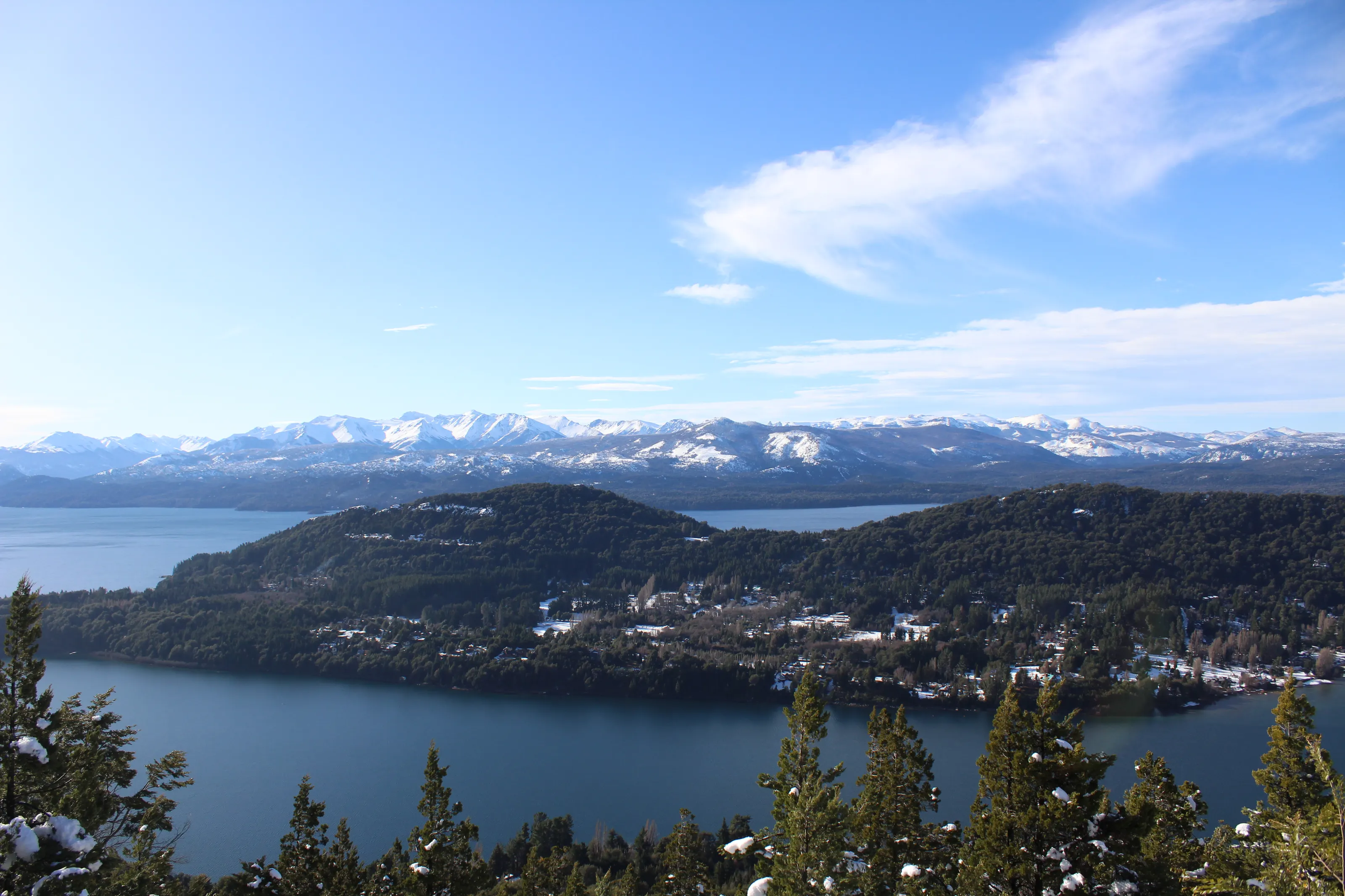
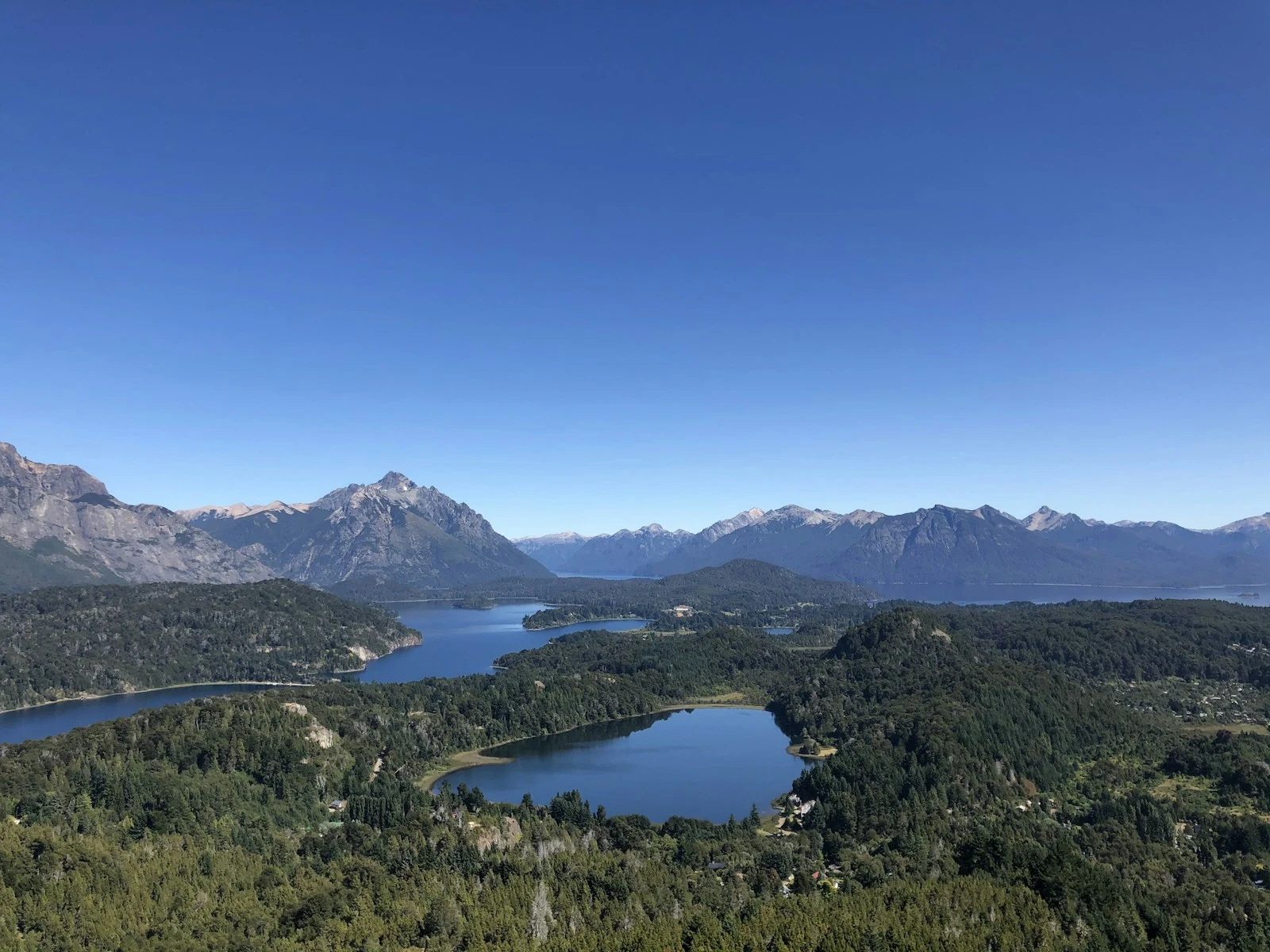
Cerro Campanario is a viewpoint reached by chairlift or on foot in about thirty minutes (Wikivoyage EN). From there you see the lakes, peninsulas and peaks, as in the header photo.
Lakes and forests from the viewpoint
From the viewpoint you can make out several lakes separated by wooded peninsulas, with snow-covered peaks behind. It is the best-known view of the Circuito Chico.
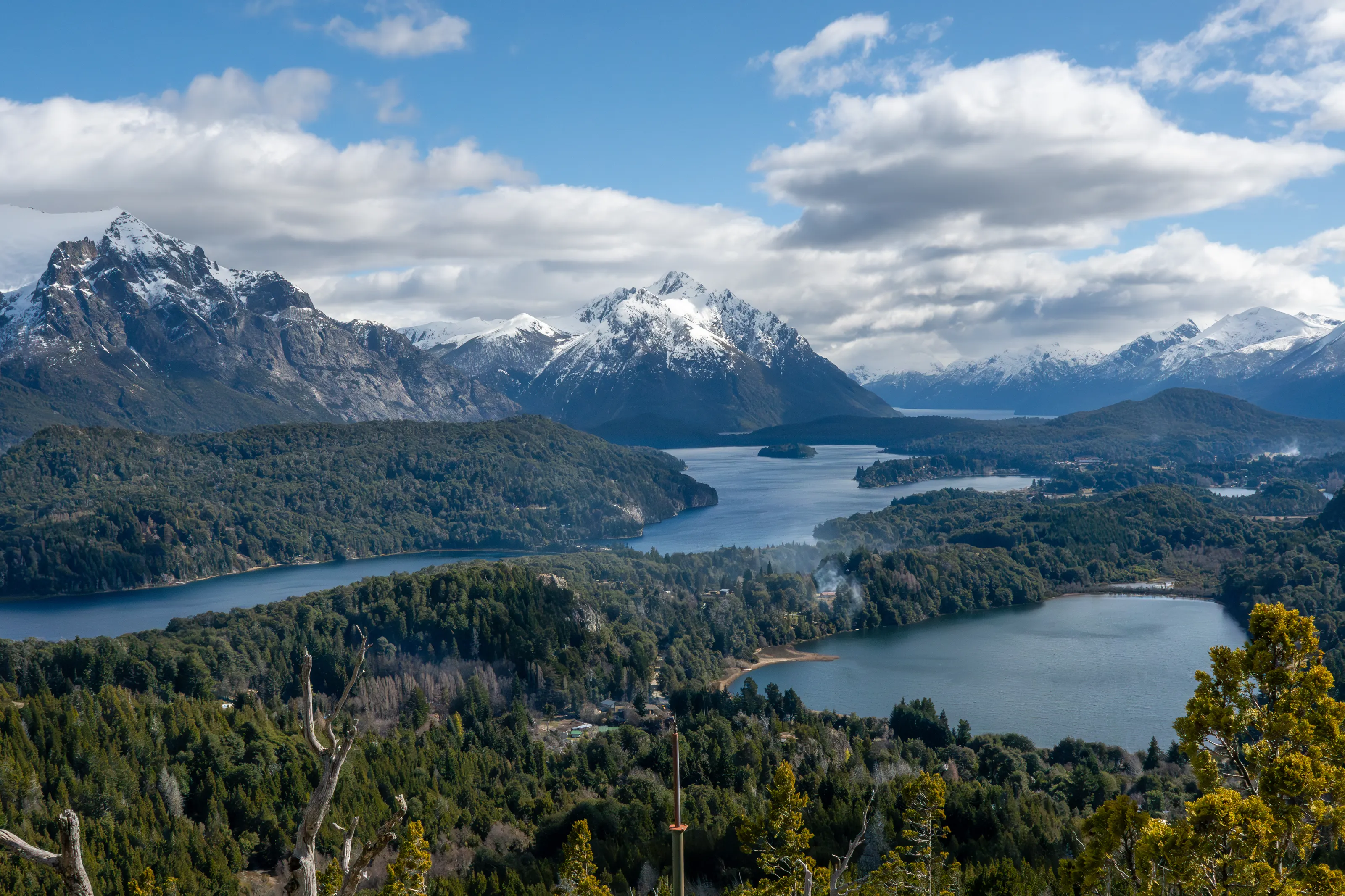
The Llao Llao peninsula
The Llao Llao area, about 25 km from the centre according to Wikipedia (ES), is the wooded peninsula reaching into the lake. In the golden evening light the tones of forest and water are especially beautiful. We have no photo of the arrayán myrtle forests or of Cerro Tronador.
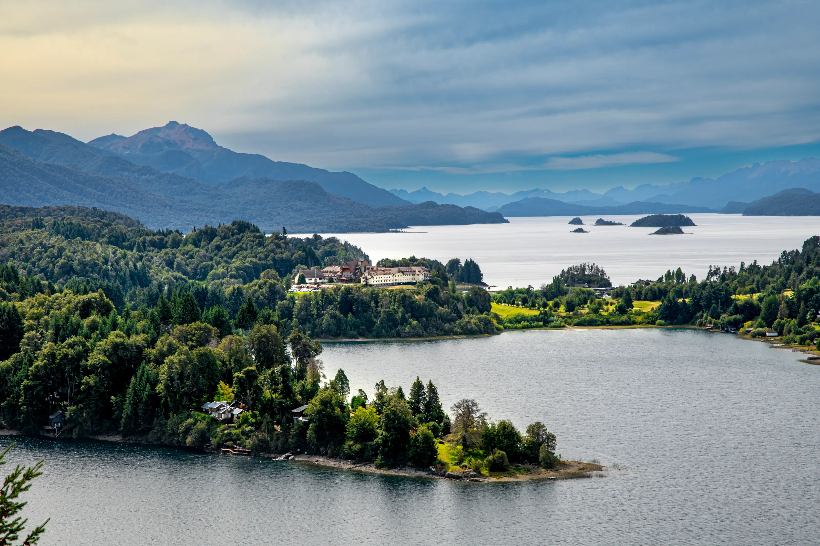
The lake and the Andes range
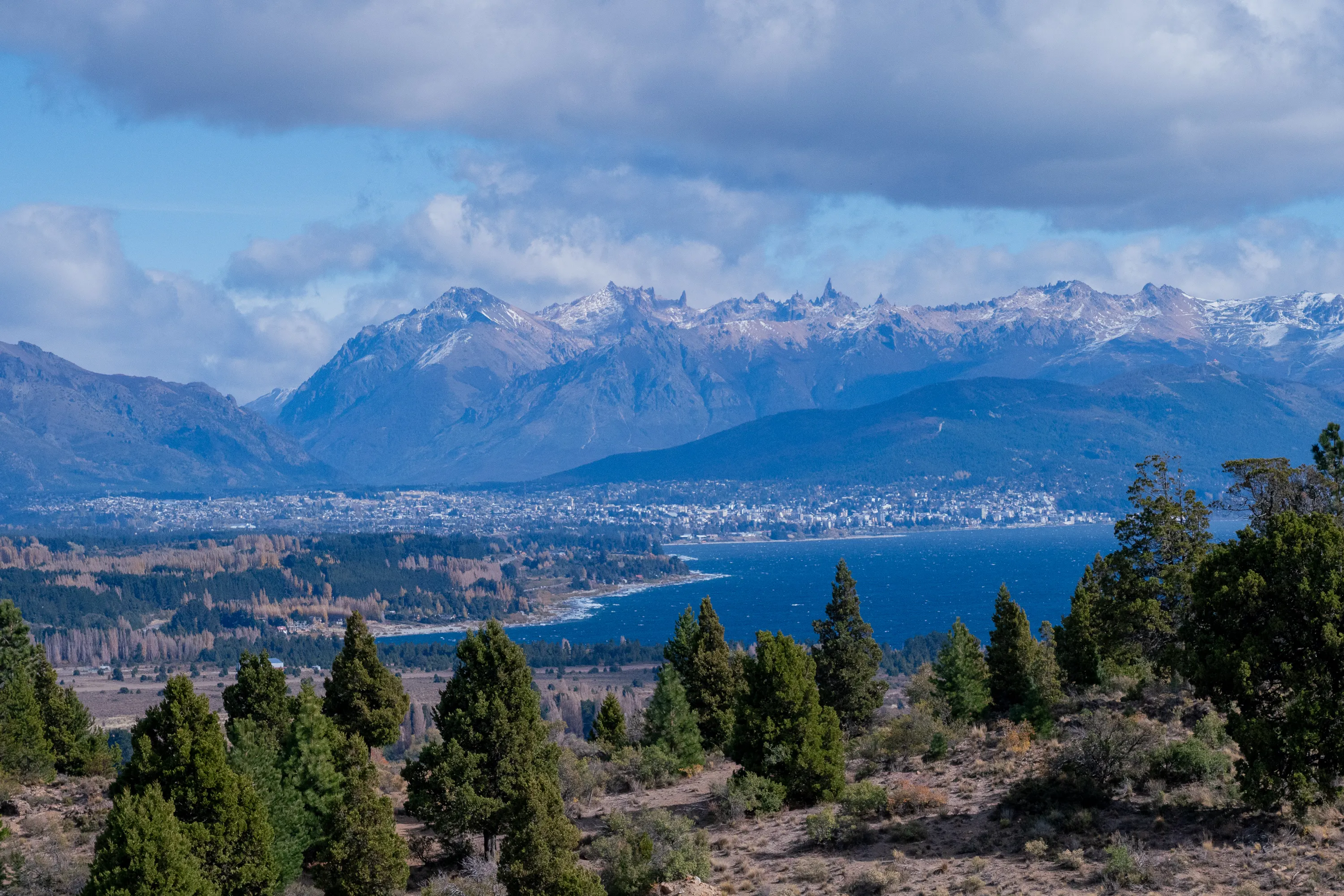
From the heights, the town appears on the shore of Lake Nahuel Huapi, with the Andes range behind. The wind can raise waves on the lake, even in fine weather.
Civic centre
The civic centre and alpine architecture
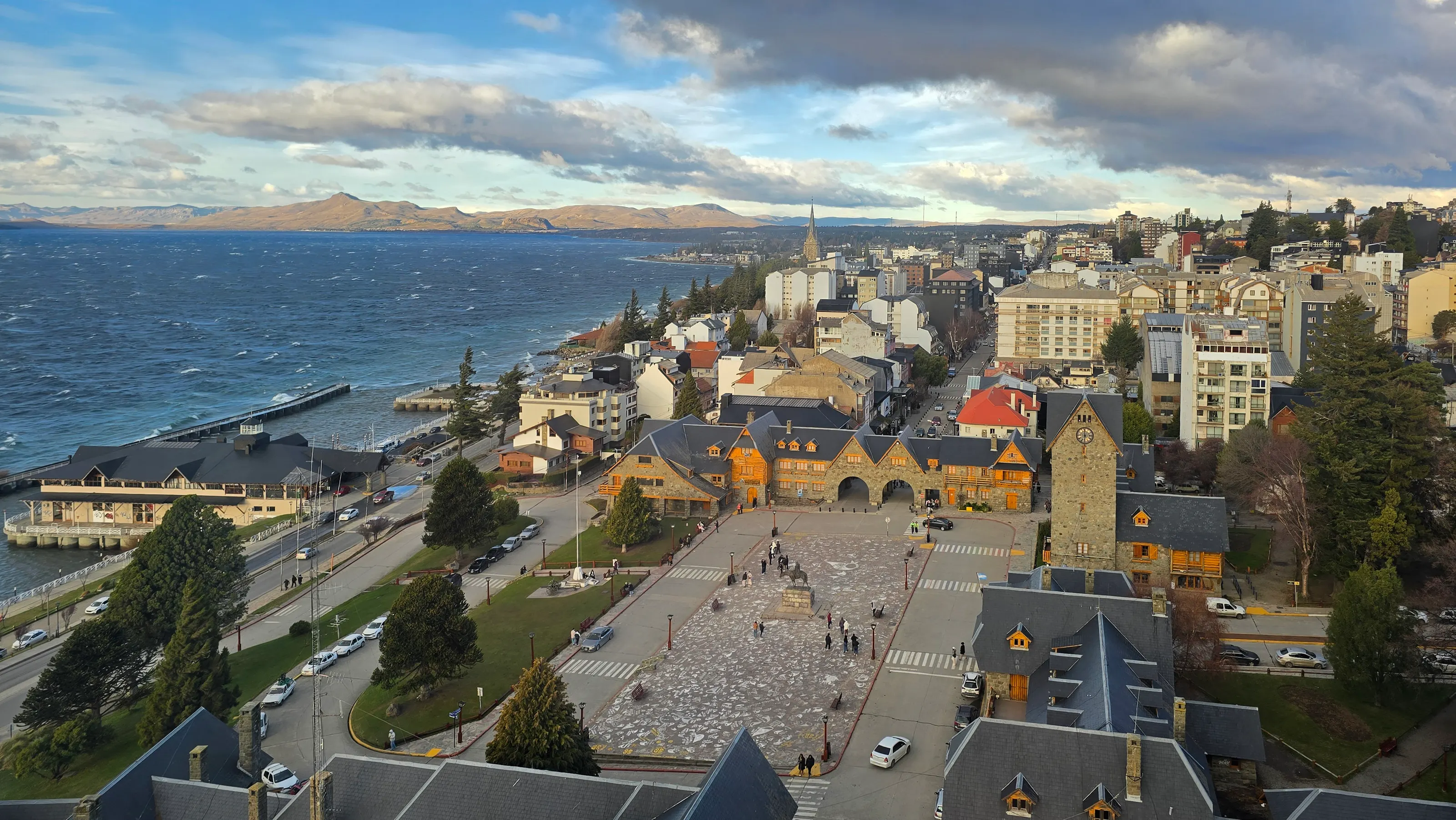
The civic centre, built in the 1930s by the national parks administration (Wikipedia ES), gives the town its image with buildings of stone and wood: alpine style, steep roofs and arcades, around a square with an equestrian statue, on the lakeshore. The stone cathedral completes the ensemble. Many visitors begin their stay on this square, near the tourist office.
View of the civic centre
Seen from the sky, the civic centre reveals its paved square and its stone-and-wood buildings with steep roofs, facing the lake. The brown mountains behind mark the nearby Patagonian steppe.
Museums and culture
Patagonia museum, festivals and cathedral
Museo de la Patagonia
The Museo de la Patagonia, housed in the civic centre, presents stuffed wildlife, photographs and a section on the pre-colonial indigenous peoples (Wikivoyage EN). Check opening hours before visiting.
Festivals and traditions
The Fiesta Nacional de la Nieve marks the start of the ski season, around June or July, and the Fiesta del Chocolate takes place every year at Easter (Wikipedia ES). The town also made a giant chocolate bar in 2014 that set a record (Wikipedia ES). Alpine architecture, the stone cathedral and the story of German and Swiss immigrant families are part of the local heritage (Wikivoyage DE).
Activities
Hiking, boating and skiing at Cerro Catedral
In summer
Austral summer is hiking season: trails to mountain huts, boat trips on Nahuel Huapi, cycling and lake beaches, where the water stays cool even in midsummer (Wikivoyage EN). An excursion to the Tronador area, an extinct volcano at 3,554 m (Wikipedia FR), is made by bus.
In winter
Cerro Catedral, about 19 km from the city, has one of the largest ski areas in South America (Wikipedia FR, Wikivoyage EN). The ski season generally runs from July to September; we give neither fares nor details of the runs.
Volcanoes and ash
The region is volcanic: in June 2011, ash from the Puyehue volcano covered the town (Wikipedia ES). Check the situation before heading into the mountains.
Lakes and mountains under a blue sky
The region's lakes reflect very clear skies in summer, while winter brings snow and mist.
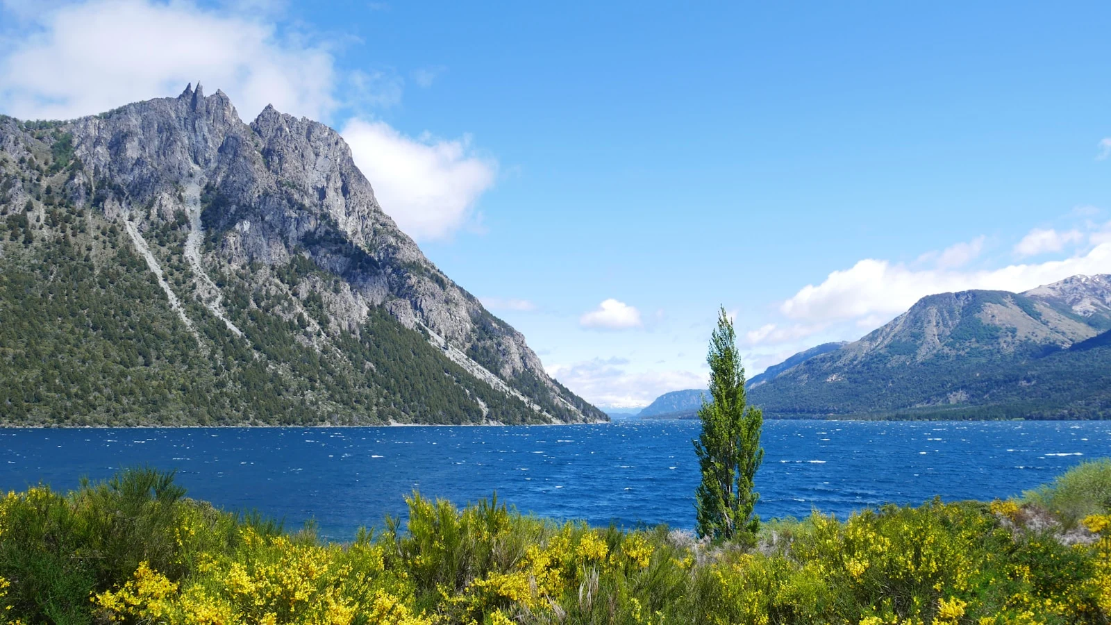
A lake, peaks and yellow flowers
In spring and summer, yellow-flowered shrubs line the mountain lakes. The exact location of this photo is not specified.
Food and drink
Chocolate, venison, trout and craft beer
Bariloche is famous for its chocolate: chocolatiers are numerous and sell all kinds of varieties, sometimes filled with local fruit (Wikivoyage EN). The tradition is tied to the history of European immigrants. In restaurants, cooking with German influence offers lake trout, venison and rustic dishes, according to Wikivoyage (EN).
Beer and cafés
The town is also known for its craft breweries, with lagers, ales, IPAs and fruit beers, often served with a view of the lake, according to Wikivoyage (EN). We have no photo of chocolate or beer.
Getting around
City buses, car, cable cars and excursions
In town
A network of city buses serves the centre, Llao Llao, Cerro Catedral and the lakes; it works with the SUBE card or a local card (Wikivoyage EN). The centre is walkable. Taxis and ride-hailing are another option.
Excursions
For the Circuito Chico, the lakes and the huts, you combine bus, rental car, bike or an agency. Lifts and cable cars lead to viewpoints such as Cerro Campanario and Cerro Otto, and to Cerro Catedral in winter. Long-distance buses link Buenos Aires in about 19 to 22 hours (Wikipedia FR, Wikivoyage EN).
Stay careful
Dress in layers, as mountain weather changes fast. Check the official recommendations of your departure country before you go.
Budget
A mid-range to high budget, especially in winter and summer
Bariloche is one of the most visited destinations in Patagonia and accommodation costs more than in inland cities. According to Wikivoyage (EN), prices are highest during the ski season (July-August) and very high in summer (December to February). The overall level sits between mid-range and high depending on the season and the plan; we give no figures because prices change.
The air fare remains the most variable item. SniperAir monitors prices to BRC and compares them with the route's history.
When to go
When to go to Bariloche? Mountain climate, reversed seasons
Austral summer (December to February)
Dry, sunny and windy, with pleasant afternoons and cool nights; the mean temperature of the warm season is about 14 °C (Wikipedia FR). This is high season.
Autumn (March to May)
Days get shorter; weather is variable, with mild days and cold ones (Wikivoyage EN).
Austral winter (June to August)
Wet and cold, averaging about 4 °C, with abundant snow. The ski season generally runs from July to September.
Spring (September to November)
Variable: pleasant days alternate with cold and sometimes snow (Wikivoyage EN).
The town sits at the transition between the wet climate of the Andes and the dry steppe to the east. About 1,100 mm of rain or snow falls each year according to Wikipedia (FR), more in the west, near the centre, than at the airport. The southern hemisphere reverses the seasons: summer starts in December, winter in June.
By length of stay
How many days in Bariloche
The essentials
The civic centre, Cerro Campanario and the Circuito Chico, with a stop at Llao Llao.
Going deeper
Add a boat trip, a hike to a mountain hut or a day at Cerro Catedral (skiing in winter).
Beyond
Add an excursion to Tronador, or the Seven Lakes road to San Martín de los Andes.
In pictures
Bariloche in pictures
You might also like
Similar destinations
FAQ
Frequently asked questions about flights to Bariloche
How do I get from Bariloche airport to the city centre?
The airport (BRC) is about 13 km east of the centre. Bus line 72, minibuses to hotels, taxis and remises reach the city. We give no fares.
When is the best time to visit Bariloche?
Austral summer (December to February) is high season for hiking and lakes; winter is ski season, generally July to September. Autumn and spring are quieter but variable.
Is Bariloche expensive?
The budget is mid-range to high depending on the season, with higher prices during the ski season and summer. We give no figures, as prices change.
How many days should I plan in Bariloche?
Two or three days are enough for the centre, Cerro Campanario and the Circuito Chico; four or five allow a hike, a boat trip or skiing; six days or more open up Tronador or the Seven Lakes road.
How do I get around Bariloche?
By city bus with a SUBE card, taxi, rental car or an agency. Lifts lead to viewpoints; the centre is walkable.
What should I eat in Bariloche?
Chocolate, trout, venison and craft beer, in a cuisine marked by German influence.
How much does a flight to Bariloche usually cost?
The price depends mainly on your departure city, the period and the booking date. The opportunities section above shows real examples of prices already detected by SniperAir to this destination.
How do I get alerted when a flight to Bariloche drops below my budget?
Create an alert profile with your departure airport, Bariloche as the destination and your maximum budget. You are notified automatically as soon as a matching price is detected.
Ready to head to Bariloche?
Set your budget and let SniperAir monitor fares for you.
Create my alert